
Neighbourhood guide
Calgary Neighbourhood Guide: 222 communities in every quadrant of Calgary, and 9 nearby towns and cities
Choosing a community matters as much as choosing a house. It shapes your commute, the parks and shops you use every day, the schools nearby and the yearly fees that come with a home. We cover 222 communities across Calgary, from inner-city neighbourhoods to lake communities, the areas along Fish Creek Provincial Park and the newer communities on the north edge of the city, plus 9 towns and cities around Calgary. This guide gives you a quick, factual overview of each one, with a link to its full community page and the homes for sale there today.
- 222Calgary communities (SE 46 · SW 84 · NW 57 · NE 35)
- 9surrounding towns and cities
- 9with a private lake
- 17border Fish Creek Provincial Park
Want a second opinion on where to start? Book a call with us and we’ll walk you through the areas that match your budget and routine.
New to Calgary or buying for the first time? Start with our Calgary home buyer’s guide and our newcomer mortgage and home buying guide.
| Community | Private lake | Fish Creek Park | CTrain / BRT |
|---|---|---|---|
| Acadia | no | no | MAX Teal |
| Albert Park/Radisson Heights | no | no | Blue Line MAX Purple |
| Applewood Park | no | no | MAX Purple |
| Auburn Bay | yes | no | 302 BRT |
| Belvedere | no | no | MAX Purple |
| Bonavista Downs | no | no | no |
| Chaparral | yes | no | no |
| Copperfield | no | no | no |
| Cranston | no | yes | no |
| Deer Ridge | no | no | no |
| Deer Run | no | yes | no |
| Diamond Cove | no | yes | no |
| Douglasdale/Glen | no | yes | 302 BRT MAX Teal |
| Dover | no | no | no |
| Downtown East Village | no | no | 302 BRT MAX Purple |
| Erin Woods | no | no | no |
| Fairview | no | no | MAX Teal |
| Forest Heights | no | no | no |
| Forest Lawn | no | no | MAX Purple |
| Hotchkiss | no | no | no |
| Inglewood | no | no | 302 BRT MAX Purple |
| Lake Bonavista | yes | yes | no |
| Legacy | no | no | no |
| Mahogany | yes | no | 302 BRT |
| Maple Ridge | no | no | no |
| McKenzie Lake | yes | yes | no |
| McKenzie Towne | no | no | 302 BRT |
| Midnapore | yes | yes | no |
| New Brighton | no | no | 302 BRT |
| Ogden | no | no | 302 BRT |
| Parkland | no | yes | no |
| Penbrooke Meadows | no | no | no |
| Queensland | no | yes | no |
| Ramsay | no | no | 302 BRT |
| Rangeview | no | no | no |
| Red Carpet | no | no | MAX Purple |
| Ricardo Ranch | no | no | no |
| Riverbend | no | no | 302 BRT MAX Teal |
| Seton | no | no | 302 BRT |
| Shepard Industrial | no | no | 302 BRT MAX Teal |
| Southview | no | no | MAX Purple |
| Sundance | yes | yes | no |
| Twinhills | no | no | no |
| Walden | no | no | no |
| Willow Park | no | no | no |
| Wolf Willow | no | yes | no |
| Community | Private lake | Fish Creek Park | CTrain / BRT |
|---|---|---|---|
| Abbeydale | no | no | no |
| Bridgeland/Riverside | no | no | Blue Line |
| Castleridge | no | no | MAX Orange |
| Cityscape | no | no | no |
| Coral Springs | yes | no | no |
| Cornerstone | no | no | no |
| Country Hills Village | no | no | 301 BRT |
| Coventry Hills | no | no | no |
| Crescent Heights | no | no | 301 BRT MAX Orange |
| Falconridge | no | no | MAX Orange |
| Greenview | no | no | no |
| Harvest Hills | no | no | 301 BRT |
| Homestead | no | no | no |
| Huntington Hills | no | no | 301 BRT |
| Huxley | no | no | no |
| Keystone Hills | no | no | no |
| Lewisburg | no | no | no |
| Livingston | no | no | no |
| Marlborough | no | no | Blue Line |
| Marlborough Park | no | no | no |
| Martindale | no | no | Blue Line MAX Orange |
| Mayland Heights | no | no | MAX Orange |
| Monterey Park | no | no | no |
| Pineridge | no | no | no |
| Redstone | no | no | no |
| Renfrew | no | no | MAX Orange |
| Rundle | no | no | Blue Line MAX Orange |
| Saddle Ridge | no | no | Blue Line MAX Orange |
| Skyview Ranch | no | no | no |
| Taradale | no | no | MAX Orange |
| Temple | no | no | MAX Orange |
| Tuxedo Park | no | no | 301 BRT MAX Orange |
| Vista Heights | no | no | MAX Orange |
| Whitehorn | no | no | Blue Line MAX Orange |
| Winston Heights/Mountview | no | no | MAX Orange |
| Town | Residents 2021 | From City Hall | Homes on this site |
|---|---|---|---|
| Airdrie | 74,100 | 27 km | yes |
| Cochrane | 32,199 | 33 km | yes |
| Chestermere | 22,163 | 16 km | yes |
| Langdon | 5,497 | 28 km | yes |
| Strathmore | 14,339 | 46 km | yes |
| Okotoks | 30,405 | 36 km | yes |
| Diamond Valley | 5,341 | 43 km | yes |
| High River | 14,324 | 53 km | yes |
| Canmore | 15,990 | 91 km | yes |
Lake = private lake run by a residents association. Fish Creek = the community boundary touches Fish Creek Provincial Park (OpenStreetMap). CTrain / BRT = a Red or Blue Line, MAX or BRT stop inside the community (City of Calgary data), except the 15 approved cards. Scroll each table for the full list.
Calgary · 222
Calgary communities
222 Calgary communities, grouped by quadrant. Every community card opens a detailed guide to that area.
Map of Calgary communities
Each strongly coloured area is a community with its own page: hover to see its name, click or tap to open the page. Paler areas with a dashed outline are industrial land, large parks and other areas without residents: they have no community page and are shaded by quadrant only. Skip the map: list of communities
- Northwest
- Northeast
- Southwest
- Southeast
- Paler shade, dashed outline: no community page (industrial, parks, no residents)
Loading the map…
The map could not be loaded. The list of communities is below.
Map: © OpenStreetMap contributors (ODbL); community boundaries: City of Calgary open data (Community District Boundaries), simplified by us.
SESoutheast Calgary communities 46
The southeast communities sit around Stoney Trail, Deerfoot Trail and Macleod Trail, from established areas such as Willow Park and Lake Bonavista to newer ones such as Mahogany, Seton and Walden. Seven of them are built around private lakes run by residents associations: Auburn Bay, Chaparral, Lake Bonavista, Mahogany, McKenzie Lake, Midnapore (Lake Midnapore) and Sundance.
Southeast Calgary homes for sale
Compare southeast communities by price and homes for sale now.
 Map © OpenStreetMap contributorsLake community
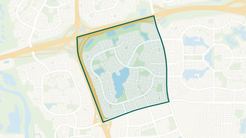
Auburn Bay
- Private lake
- 302 BRT
- Calgary Co-op
A lake community launched in 2005 by Brookfield Residential, between Stoney Trail, 52 Street SE, Seton Boulevard and Deerfoot Trail. Its 43-acre private lake and 13-acre park are run by the Auburn Bay Residents Association, and an annual fee is registered on every property’s title. Auburn Bay Station has a Calgary Co-op. Listings include detached houses, condos and townhomes. Routes 75 and 79 connect to Seton, Cranston and Mahogany, and the 302 BRT runs downtown.
 Map © OpenStreetMap contributorsLake & park
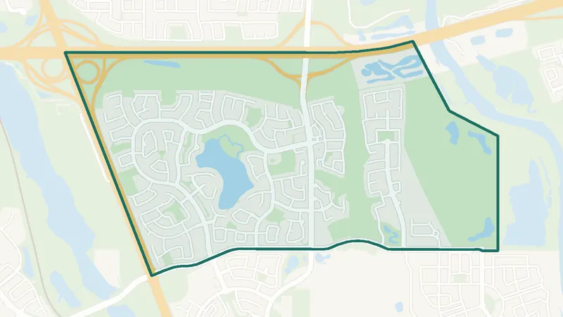
Chaparral
- Private lake
- Bus to CTrain
- Mostly detached
Established in 1995, south of Stoney Trail between Macleod Trail and the Bow River valley. Lake Chaparral, a 32-acre man-made lake with about 22 acres of park, is run by the Lake Chaparral Residents Association. Membership is mandatory for eligible properties, but not every Chaparral home is included, so the title of each home matters. Homes are mostly detached. Routes 78 and 194 connect to Somerset–Bridlewood CTrain station.
 Map © OpenStreetMap contributorsFish Creek Park
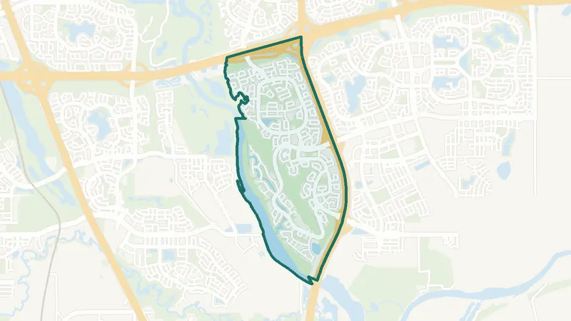
Cranston
- Fish Creek Park
- Century Hall
- Routes 14, 75, 79
Development began in 1999 on former farmland between Stoney Trail, Deerfoot Trail, Fish Creek Provincial Park and the Bow River. Pathways lead down the escarpment into the park. Century Hall, the residents’ facility, has a gym and a 7-acre park with tennis courts, a rink and a splash park; access comes with the residents association fee. Homes are mostly detached, with townhomes, semi-detached homes and some condos. Routes 14, 75 and 79 run through the community.
 Map © OpenStreetMap contributorsLake community
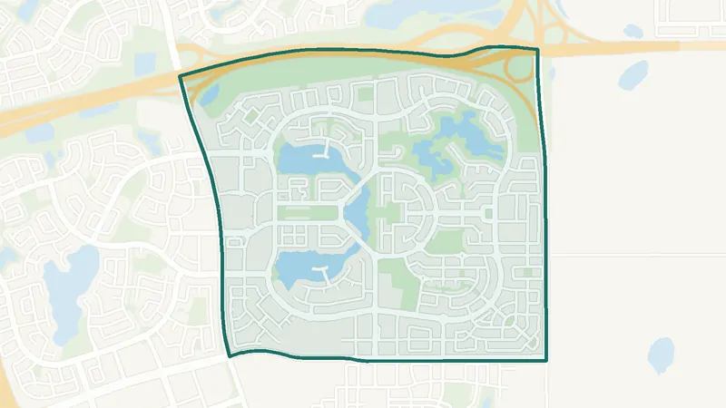
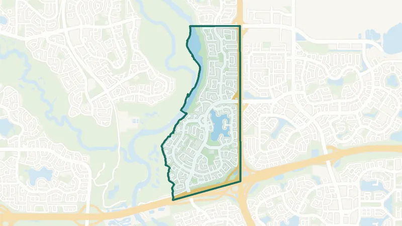
Mahogany
- Lake + beaches
- 302 BRT
- Village Market
A planned lake community by Hopewell Residential, south of Stoney Trail and east of 52 Street SE. Its 63-acre freshwater lake, which Hopewell and the Mahogany Homeowners Association describe as the largest in Calgary, has two private beaches and a residents-only Beach Club, funded through an annual HOA fee. Mahogany Village Market includes a Sobeys. Homes range from condos, townhomes and duplexes to detached and estate homes, with resale and new builds side by side.
 Map © OpenStreetMap contributorsLake & park
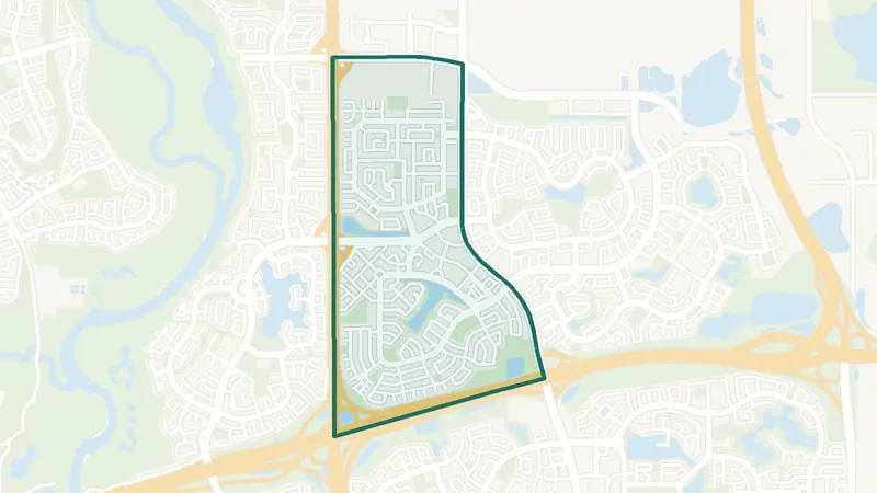
McKenzie Lake
- Private lake
- Fish Creek Park
- Route 96 to CTrain
An established lake community built from the mid-1980s onward, between 130 Avenue SE, Deerfoot Trail, Stoney Trail and Fish Creek Provincial Park. The McKenzie Lake Residents Association runs a 43-acre lake and an 18-acre park, and the annual fee is mandatory for properties in its boundary. Most homes are detached, from interior streets to lake and ridge properties. Route 96 runs to Anderson CTrain station.
 Map © OpenStreetMap contributorsEstablished
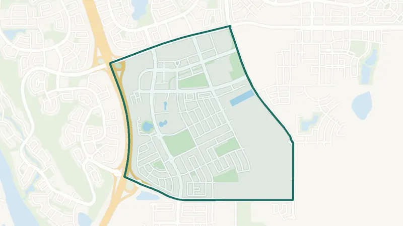
McKenzie Towne
- High Street
- 302 BRT
- Route 117 express
A master-planned community designed in the New Urbanist style to feel like a small town, with traditional architecture across the Inverness, Elgin and Prestwick districts. High Street has street-front shops, restaurants and a Sobeys, and the McKenzie Towne transit terminal next to it is served by the 302 BRT; Route 117 runs express to downtown. Listings run from condos and townhomes to detached houses. An annual residents’ association fee is registered on title.
 Map © OpenStreetMap contributorsIn development
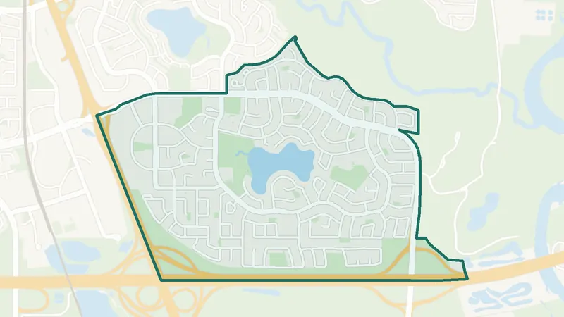
Seton
- South Health Campus
- YMCA + library
- High school (CBE)
A planned community by Brookfield Residential, south of Auburn Bay and east of Cranston, built around a mixed-use urban district. The South Health Campus hospital and the Brookfield Residential YMCA at Seton, with its Seton Library branch, are here, as is Joane Cardinal-Schubert High School (CBE). Seton has many condos and townhomes plus detached and semi-detached homes, and both resale and new construction. A homeowners association fee is registered on title.
 Map © OpenStreetMap contributorsLake & park
Sundance
- Private lake
- Fish Creek Park
- Mostly detached
An established lake community founded in 1982, east of Macleod Trail and north of Stoney Trail, next to Fish Creek Provincial Park. Lake Sundance and its park are private to residents and their guests, and a lake fee encumbrance is registered on every residential property. Listings are almost all detached houses, many from the 1980s, so condition varies. Route 78 connects to Somerset–Bridlewood CTrain station.
 Map © OpenStreetMap contributorsEstablished
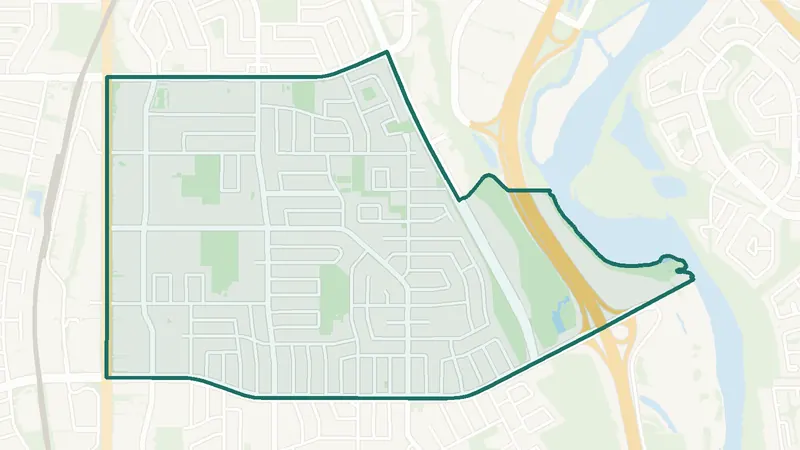
Acadia
- Built 1961–80
- 9,915 residents
- 12 schools
A southeast Calgary community. The largest share of its homes, 70%, was built in 1961–80 (2021 Census). 9,915 residents lived here at the 2021 Census. 12 schools are inside its boundary. See homes for sale in Acadia.
 Map © OpenStreetMap contributorsEstablished
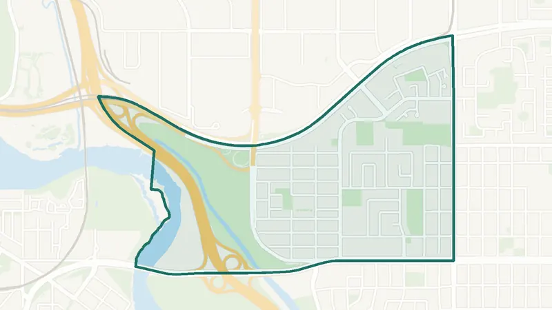
Albert Park/Radisson Heights
- Built 1961–80
- 6,740 residents
- 5 schools
A southeast Calgary community. The largest share of its homes, 52%, was built in 1961–80 (2021 Census). 6,740 residents lived here at the 2021 Census. 5 schools are inside its boundary. See homes for sale in Albert Park/Radisson Heights.
 Map © OpenStreetMap contributorsEstablished
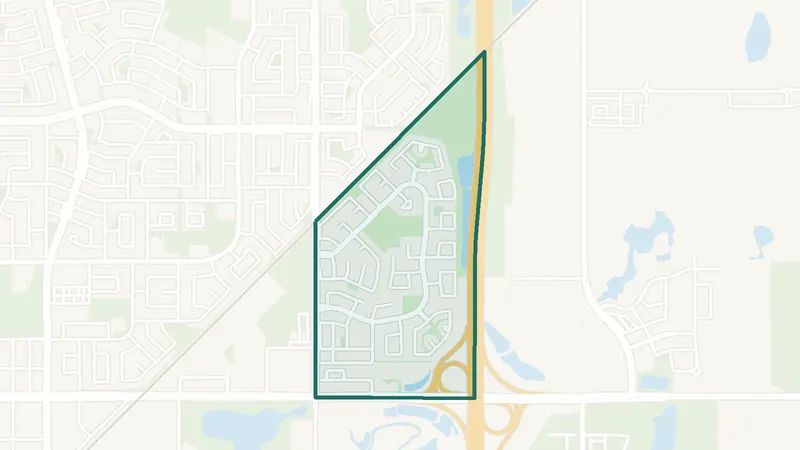
Applewood Park
- Built 1991–2000
- 6,830 residents
- 0 schools
A southeast Calgary community. The largest share of its homes, 47%, was built in 1991–2000 (2021 Census). 6,830 residents lived here at the 2021 Census. There is no school inside its boundary. See homes for sale in Applewood Park.
 Map © OpenStreetMap contributorsIn development
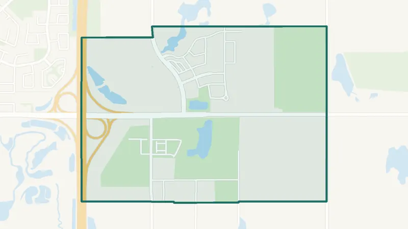
Belvedere
- Newer community
- New since 2021
- 0 schools
A southeast Calgary community. It is too new for a 2021 Census community profile. The City lists it as still being built out. There is no school inside its boundary. See homes for sale in Belvedere.
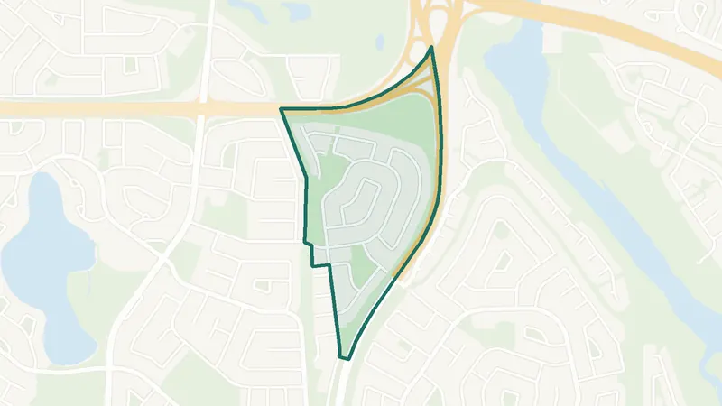 Map © OpenStreetMap contributorsEstablished
Bonavista Downs
- Built 1961–80
- 830 residents
- 0 schools
A southeast Calgary community. The largest share of its homes, 99%, was built in 1961–80 (2021 Census). 830 residents lived here at the 2021 Census. There is no school inside its boundary. See homes for sale in Bonavista Downs.
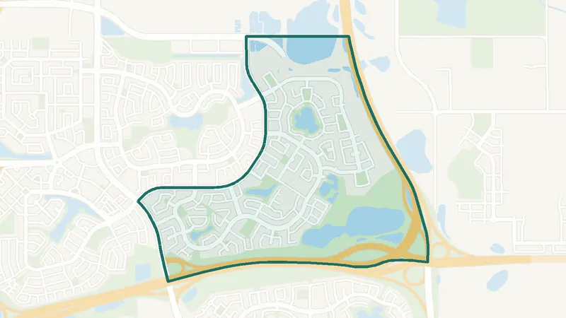 Map © OpenStreetMap contributorsEstablished
Copperfield
- Built 2001–10
- 14,095 residents
- 2 schools
A southeast Calgary community. The largest share of its homes, 49%, was built in 2001–10 (2021 Census). 14,095 residents lived here at the 2021 Census. 2 schools are inside its boundary. See homes for sale in Copperfield.
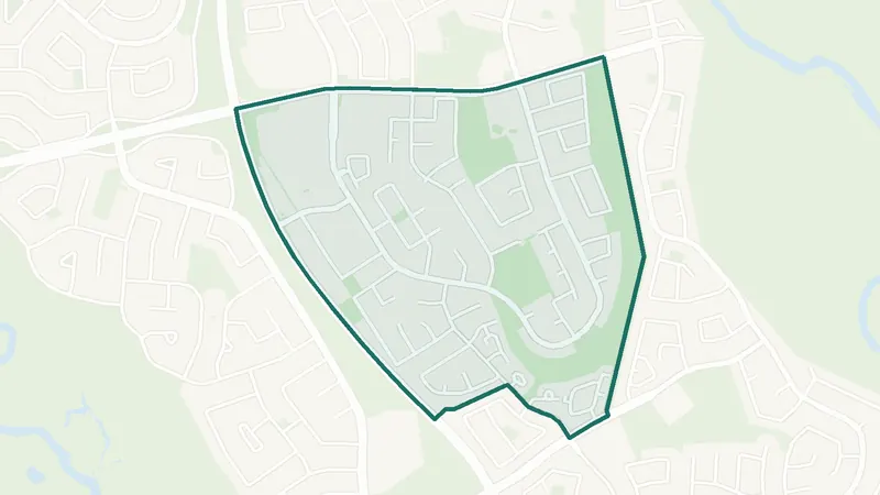 Map © OpenStreetMap contributorsEstablished
Deer Ridge
- Built 1961–80
- 3,795 residents
- 1 school
A southeast Calgary community. The largest share of its homes, 51%, was built in 1961–80 (2021 Census). 3,795 residents lived here at the 2021 Census. 1 school is inside its boundary. See homes for sale in Deer Ridge.
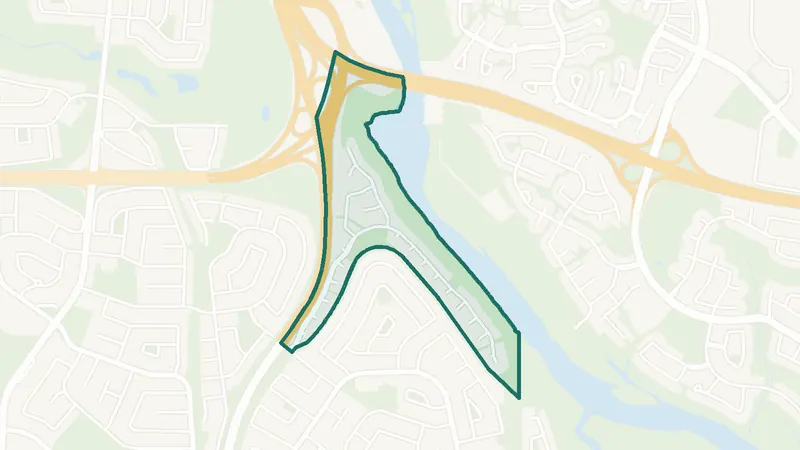
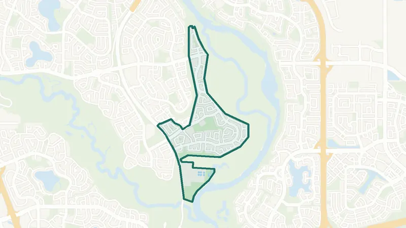 Map © OpenStreetMap contributorsFish Creek Park
Deer Run
- Built 1961–80
- 4,910 residents
- 1 school
A southeast Calgary community. The largest share of its homes, 51%, was built in 1961–80 (2021 Census). 4,910 residents lived here at the 2021 Census. 1 school is inside its boundary. See homes for sale in Deer Run.
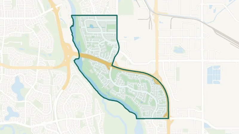
 Map © OpenStreetMap contributorsFish Creek Park
Diamond Cove
- Built 1991–2000
- 625 residents
- 0 schools
A southeast Calgary community. The largest share of its homes, 81%, was built in 1991–2000 (2021 Census). 625 residents lived here at the 2021 Census. There is no school inside its boundary. See homes for sale in Diamond Cove.
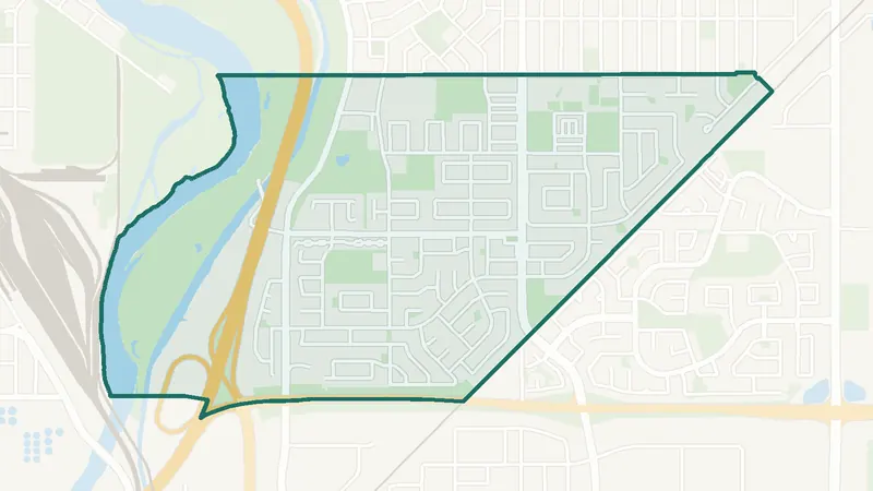
 Map © OpenStreetMap contributorsFish Creek Park
Douglasdale/Glen
- Built 1991–2000
- 12,920 residents
- 2 schools
A southeast Calgary community. The largest share of its homes, 59%, was built in 1991–2000 (2021 Census). 12,920 residents lived here at the 2021 Census. 2 schools are inside its boundary. See homes for sale in Douglasdale/Glen.
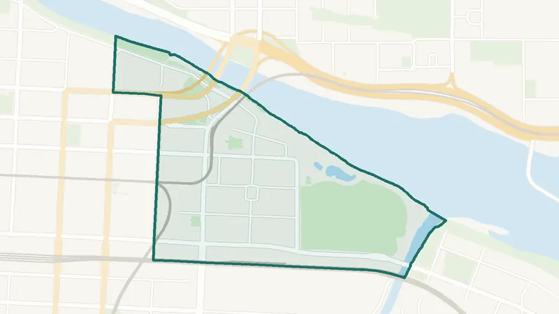
 Map © OpenStreetMap contributorsEstablished
Dover
- Built 1961–80
- 10,795 residents
- 5 schools
A southeast Calgary community. The largest share of its homes, 66%, was built in 1961–80 (2021 Census). 10,795 residents lived here at the 2021 Census. 5 schools are inside its boundary. See homes for sale in Dover.
 Map © OpenStreetMap contributorsInner city
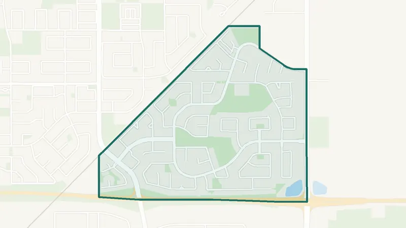
Downtown East Village
- Built 2016–21
- 3,140 residents
- 0 schools
A southeast Calgary community. The largest share of its homes, 38%, was built in 2016–21 (2021 Census). 3,140 residents lived here at the 2021 Census. There is no school inside its boundary. See homes for sale in Downtown East Village.
 Map © OpenStreetMap contributorsEstablished
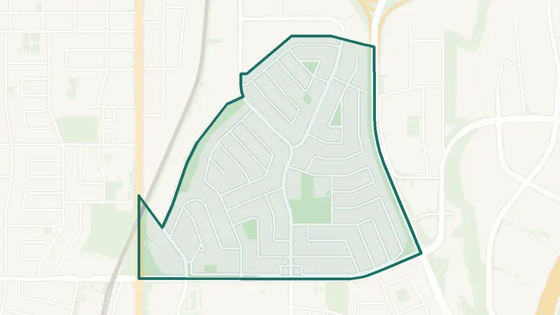
Erin Woods
- Built 1981–90
- 6,790 residents
- 1 school
A southeast Calgary community. The largest share of its homes, 41%, was built in 1981–90 (2021 Census). 6,790 residents lived here at the 2021 Census. 1 school is inside its boundary. See homes for sale in Erin Woods.
 Map © OpenStreetMap contributorsEstablished
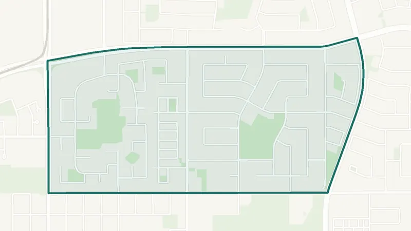
Fairview
- Built before 1961
- 3,675 residents
- 2 schools
A southeast Calgary community. The largest share of its homes, 61%, was built before 1961 (2021 Census). 3,675 residents lived here at the 2021 Census. 2 schools are inside its boundary. See homes for sale in Fairview.
 Map © OpenStreetMap contributorsEstablished
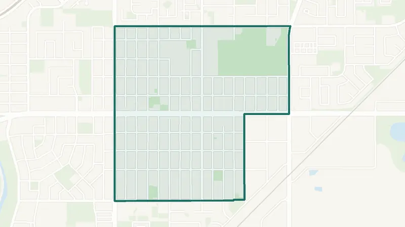
Forest Heights
- Built 1961–80
- 5,985 residents
- 1 school
A southeast Calgary community. The largest share of its homes, 78%, was built in 1961–80 (2021 Census). 5,985 residents lived here at the 2021 Census. 1 school is inside its boundary. See homes for sale in Forest Heights.
 Map © OpenStreetMap contributorsEstablished
Forest Lawn
- Built 1961–80
- 7,230 residents
- 6 schools
A southeast Calgary community. The largest share of its homes, 50%, was built in 1961–80 (2021 Census). 7,230 residents lived here at the 2021 Census. 6 schools are inside its boundary. See homes for sale in Forest Lawn.
 Map © OpenStreetMap contributorsIn development
Hotchkiss
- Newer community
- New since 2021
- 0 schools
A southeast Calgary community. It is too new for a 2021 Census community profile. The City lists it as still being built out. There is no school inside its boundary. See homes for sale in Hotchkiss.
 Map © OpenStreetMap contributorsInner city
Inglewood
- Built before 1961
- 4,130 residents
- 2 schools
A southeast Calgary community. The largest share of its homes, 36%, was built before 1961 (2021 Census). 4,130 residents lived here at the 2021 Census. 2 schools are inside its boundary. See homes for sale in Inglewood.
 Map © OpenStreetMap contributorsLake & park
Lake Bonavista
- Built 1961–80
- 10,145 residents
- 6 schools
A southeast Calgary community. The largest share of its homes, 77%, was built in 1961–80 (2021 Census). 10,145 residents lived here at the 2021 Census. 6 schools are inside its boundary. See homes for sale in Lake Bonavista.
 Map © OpenStreetMap contributorsIn development
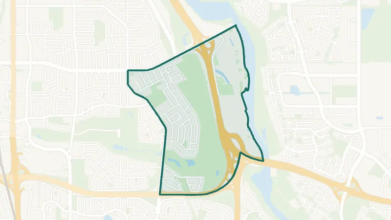
Legacy
- Built 2016–21
- 8,000 residents
- 1 school
A southeast Calgary community. The largest share of its homes, 69%, was built in 2016–21 (2021 Census). The City lists it as still being built out. 8,000 residents lived here at the 2021 Census. 1 school is inside its boundary. See homes for sale in Legacy.
 Map © OpenStreetMap contributorsEstablished
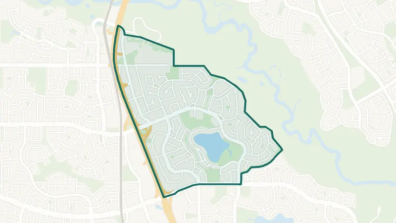
Maple Ridge
- 1960s–70s
- 1,830 residents
- 2 schools
A southeast Calgary community. The City of Calgary classifies it as a community built mostly in the 1960s and 1970s. 1,830 residents lived here at the 2021 Census. 2 schools are inside its boundary. See homes for sale in Maple Ridge.
 Map © OpenStreetMap contributorsLake & park
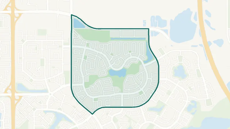
Midnapore
- Built 1961–80
- 6,480 residents
- 4 schools
A southeast Calgary community. The largest share of its homes, 66%, was built in 1961–80 (2021 Census). 6,480 residents lived here at the 2021 Census. 4 schools are inside its boundary. See homes for sale in Midnapore.
 Map © OpenStreetMap contributorsEstablished
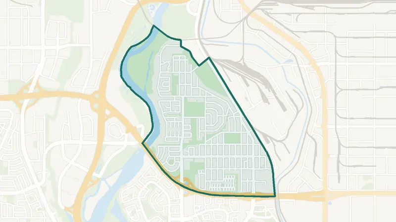
New Brighton
- Built 2001–10
- 12,885 residents
- 3 schools
A southeast Calgary community. The largest share of its homes, 58%, was built in 2001–10 (2021 Census). 12,885 residents lived here at the 2021 Census. 3 schools are inside its boundary. See homes for sale in New Brighton.
 Map © OpenStreetMap contributorsEstablished
Ogden
- Built 1961–80
- 8,315 residents
- 4 schools
A southeast Calgary community. The largest share of its homes, 61%, was built in 1961–80 (2021 Census). 8,315 residents lived here at the 2021 Census. 4 schools are inside its boundary. See homes for sale in Ogden.
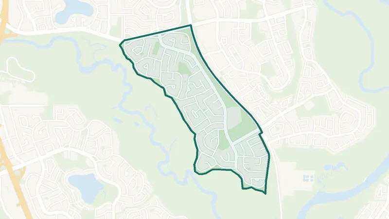 Map © OpenStreetMap contributorsFish Creek Park
Parkland
- Built 1961–80
- 3,430 residents
- 2 schools
A southeast Calgary community. The largest share of its homes, 92%, was built in 1961–80 (2021 Census). 3,430 residents lived here at the 2021 Census. 2 schools are inside its boundary. See homes for sale in Parkland.
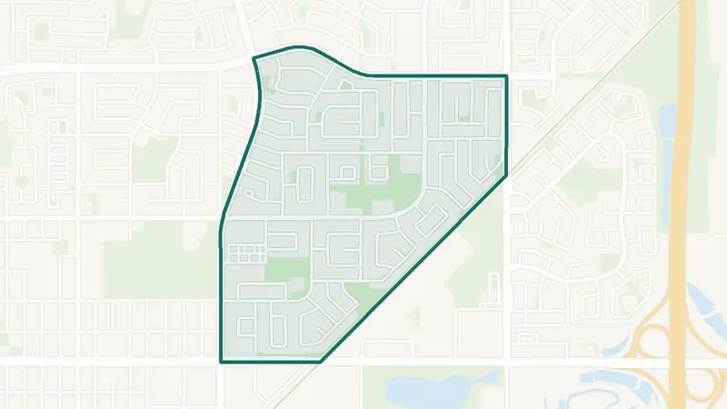 Map © OpenStreetMap contributorsEstablished
Penbrooke Meadows
- Built 1961–80
- 8,235 residents
- 4 schools
A southeast Calgary community. The largest share of its homes, 81%, was built in 1961–80 (2021 Census). 8,235 residents lived here at the 2021 Census. 4 schools are inside its boundary. See homes for sale in Penbrooke Meadows.
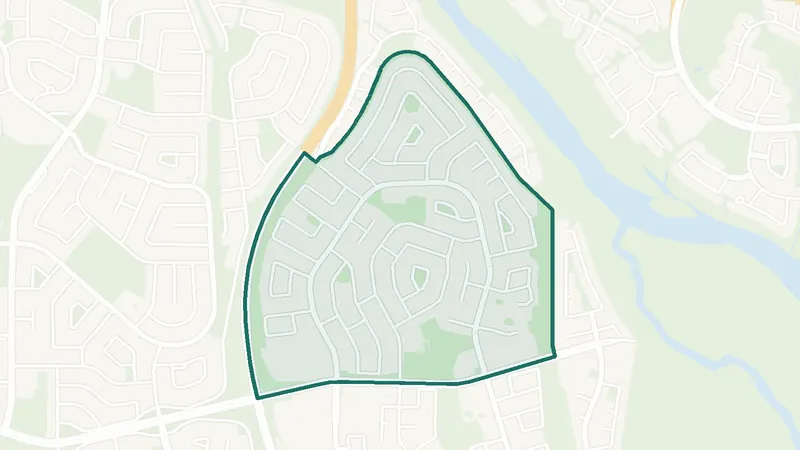 Map © OpenStreetMap contributorsFish Creek Park
Queensland
- Built 1961–80
- 4,585 residents
- 2 schools
A southeast Calgary community. The largest share of its homes, 79%, was built in 1961–80 (2021 Census). 4,585 residents lived here at the 2021 Census. 2 schools are inside its boundary. See homes for sale in Queensland.
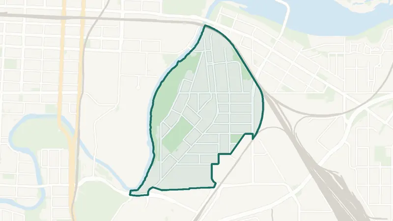 Map © OpenStreetMap contributorsInner city
Ramsay
- Built before 1961
- 2,155 residents
- 2 schools
A southeast Calgary community. The largest share of its homes, 64%, was built before 1961 (2021 Census). 2,155 residents lived here at the 2021 Census. 2 schools are inside its boundary. See homes for sale in Ramsay.
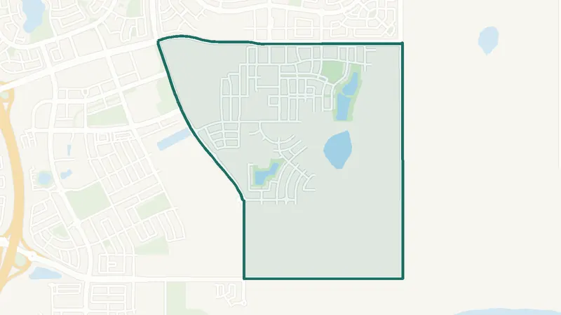 Map © OpenStreetMap contributorsIn development
Rangeview
- Newer community
- New since 2021
- 0 schools
A southeast Calgary community. It is too new for a 2021 Census community profile. There is no school inside its boundary. See homes for sale in Rangeview.
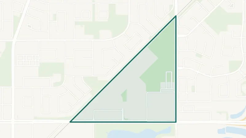 Map © OpenStreetMap contributorsEstablished
Red Carpet
- Built 1961–80
- 1,745 residents
- 0 schools
A southeast Calgary community. The largest share of its homes, 32%, was built in 1961–80 (2021 Census). 1,745 residents lived here at the 2021 Census. There is no school inside its boundary. See homes for sale in Red Carpet.
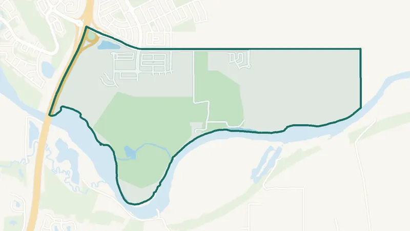 Map © OpenStreetMap contributorsIn development
Ricardo Ranch
- Newer community
- New since 2021
- 0 schools
A southeast Calgary community. It is too new for a 2021 Census community profile. The City lists it as still being built out. There is no school inside its boundary. See homes for sale in Ricardo Ranch.
 Map © OpenStreetMap contributorsEstablished
Riverbend
- Built 1991–2000
- 9,205 residents
- 2 schools
A southeast Calgary community. The largest share of its homes, 51%, was built in 1991–2000 (2021 Census). 9,205 residents lived here at the 2021 Census. 2 schools are inside its boundary. See homes for sale in Riverbend.
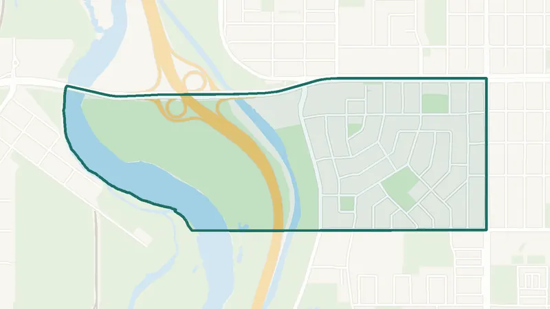
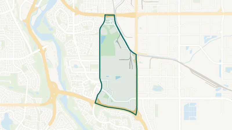 Map © OpenStreetMap contributorsEstablished
No listings right now · Get new listings by email
Shepard Industrial
- Built 1961–80
- 265 residents
- 0 schools
A southeast Calgary community. The largest share of its homes, 59%, was built in 1961–80 (2021 Census). 265 residents lived here at the 2021 Census. There is no school inside its boundary. See homes for sale in Shepard Industrial.
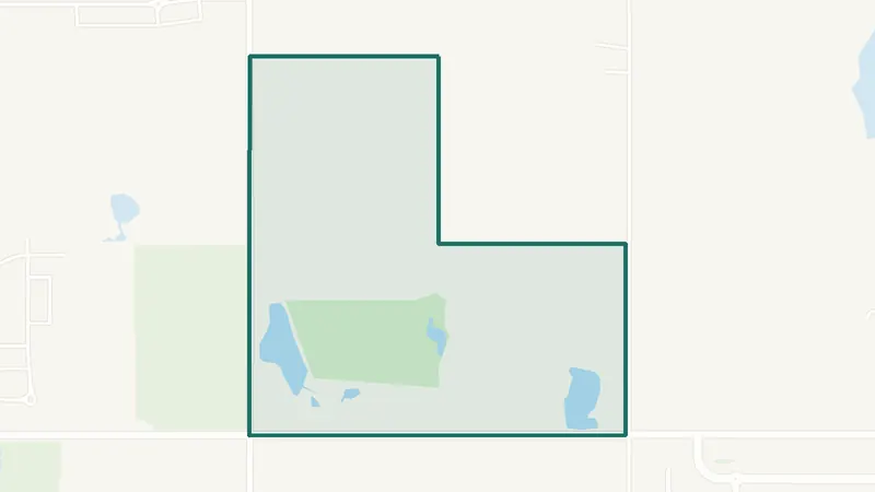
 Map © OpenStreetMap contributorsEstablished
Southview
- Built 1961–80
- 1,550 residents
- 1 school
A southeast Calgary community. The largest share of its homes, 48%, was built in 1961–80 (2021 Census). 1,550 residents lived here at the 2021 Census. 1 school is inside its boundary. See homes for sale in Southview.
 Map © OpenStreetMap contributorsIn development
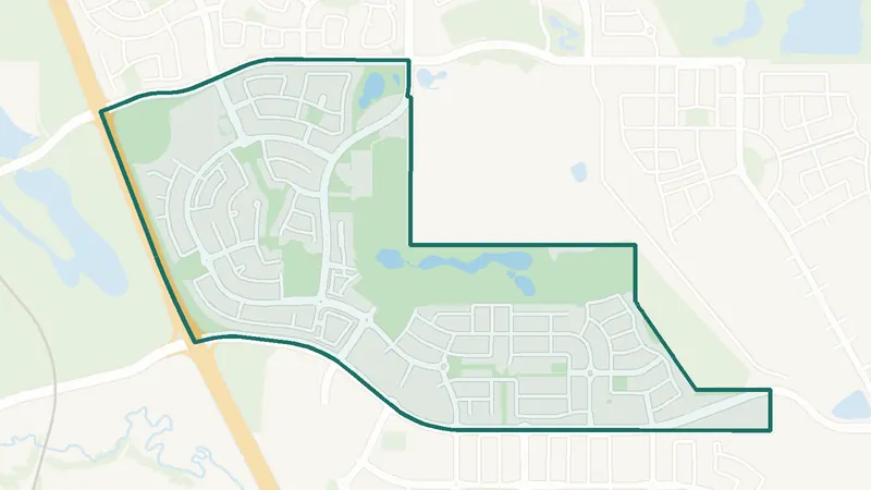
No listings right now · Get new listings by email
Twinhills
- Newer community
- New since 2021
- 0 schools
A southeast Calgary community. It is too new for a 2021 Census community profile. The City lists it as still being built out. There is no school inside its boundary. See homes for sale in Twinhills.
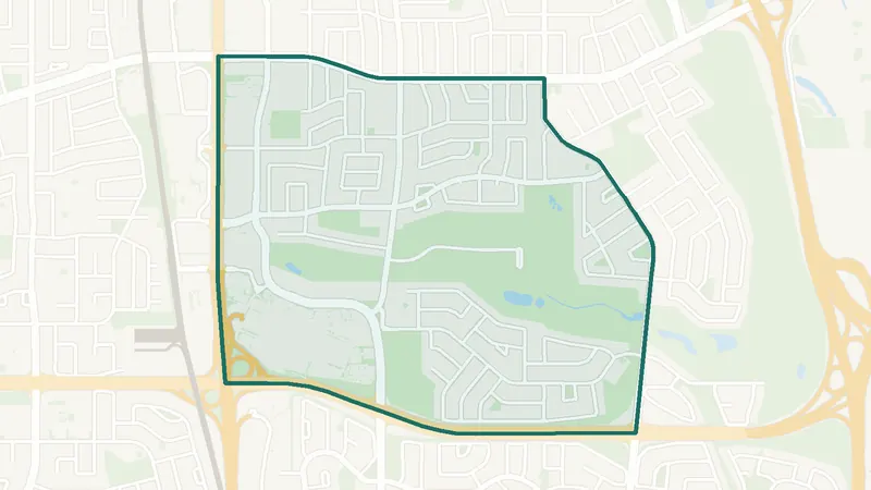
 Map © OpenStreetMap contributorsNewer community
Walden
- Built 2016–21
- 7,650 residents
- 0 schools
A southeast Calgary community. The largest share of its homes, 52%, was built in 2016–21 (2021 Census). 7,650 residents lived here at the 2021 Census. There is no school inside its boundary. See homes for sale in Walden.
 Map © OpenStreetMap contributorsEstablished
Willow Park
- 1960s–70s
- 5,090 residents
- 3 schools
A southeast Calgary community. The City of Calgary classifies it as a community built mostly in the 1960s and 1970s. 5,090 residents lived here at the 2021 Census. 3 schools are inside its boundary. See homes for sale in Willow Park.
 Map © OpenStreetMap contributorsIn development
Wolf Willow
- Built 2016–21
- 525 residents
- 0 schools
A southeast Calgary community. The largest share of its homes, 95%, was built in 2016–21 (2021 Census). The City lists it as still being built out. 525 residents lived here at the 2021 Census. There is no school inside its boundary. See homes for sale in Wolf Willow.
SWSouthwest Calgary communities 84
The southwest communities range from inner-city neighbourhoods such as Altadore and Elbow Park to the areas along Fish Creek Provincial Park and the newer west-side communities such as Aspen Woods and West Springs. The CTrain Red Line runs through the south part and the Blue Line through the west.
Southwest Calgary homes for sale
Compare southwest communities by price and homes for sale now.
Downtown Calgary and Beltline homes for sale
Compare downtown and Beltline condos by price and homes for sale now.
 Map © OpenStreetMap contributorsEstablished
Braeside
- MAX Yellow BRT
- Leisure centre nearby
- Many townhomes
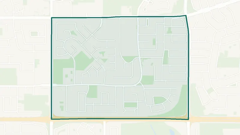
An established community that began to develop in 1965, between Southland Drive, 14 Street SW, Anderson Road and 24 Street SW. Braeside has its own MAX Yellow BRT station, and Route 126 runs to Southland CTrain station. The Southland Leisure Centre is just across Southland Drive. Listings include a large share of townhomes, plus detached houses and some condos.
 Map © OpenStreetMap contributorsParks & pathways
Bridlewood
- Red Line nearby
- Creek wetland
- Mostly detached
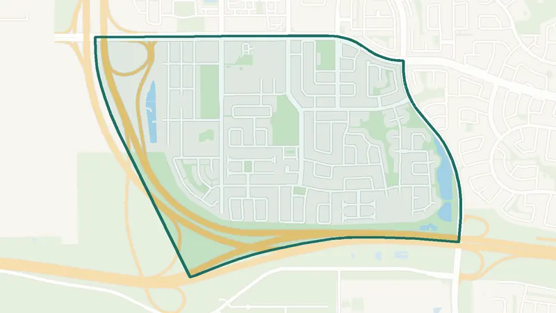
Established in 1998, north of Stoney Trail and south of Evergreen, with the Bridlewood Creek Wetland on its east side and the Spruce Meadows equestrian facility directly south. Somerset–Bridlewood station, the south end of the Red Line, is just east, and Route 14 runs through the community. Homes are mostly detached, plus condos and duplexes.
 Map © OpenStreetMap contributorsEstablished
Cedarbrae
- MAX Yellow BRT
- Route 125
- Duplexes + townhomes
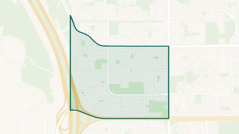
Established in 1973, between Southland Drive, 24 Street SW, Anderson Road and Tsuut’ina Trail. Cedarbrae has a MAX Yellow BRT station, and Route 125 runs to Southland CTrain station. Fish Creek Provincial Park is just south past Woodbine. Homes are a mix of duplexes and semi-detached homes, townhomes and detached houses, mostly from the 1970s on.
 Map © OpenStreetMap contributorsFish Creek Park
Evergreen
- Fish Creek Park
- Shawnessy Towne Centre
- Route 52 to CTrain
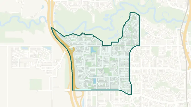
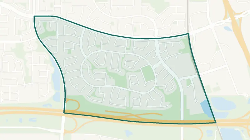
A large community just south of Fish Creek Provincial Park, with Stoney Trail on its west side. It includes the older Evergreen Estates (established in 1990) north of Fish Creek Boulevard and the newer Evergreen area to the south, served by two community associations. Shawnessy Towne Centre is to the east, and Route 52 connects to three CTrain stations. Homes are mostly detached, plus condos and townhomes.
 Map © OpenStreetMap contributorsEstablished
Somerset
- Red Line station
- Shawnessy Towne Centre
- Mostly detached
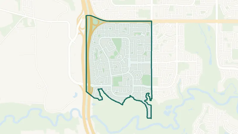
Established in 1995, between 162 Avenue SW, Stoney Trail, the CTrain line and James McKevitt Road. Somerset–Bridlewood station, the southern end of the Red Line, sits on its border, and Shawnessy station is close by. Shawnessy Towne Centre covers everyday shopping. Homes are mostly detached, with condos and some townhomes.
 Map © OpenStreetMap contributorsFish Creek Park
Woodbine
- MAX Yellow, 2 stations
- Fish Creek Park
- Woodbine Square
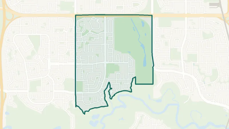
Founded in 1979, between Anderson Road, 24 Street SW, Tsuut’ina Trail and Fish Creek Provincial Park. The MAX Yellow BRT has two stations here, Woodview and Woodpark, and Route 56 runs to Anderson CTrain station. Woodbine Square has a Safeway, a pharmacy and a bank. Homes are mostly detached, plus townhomes.
 Map © OpenStreetMap contributorsFish Creek Park
Woodlands
- Fish Creek Park
- Golf club
- MAX Yellow next door
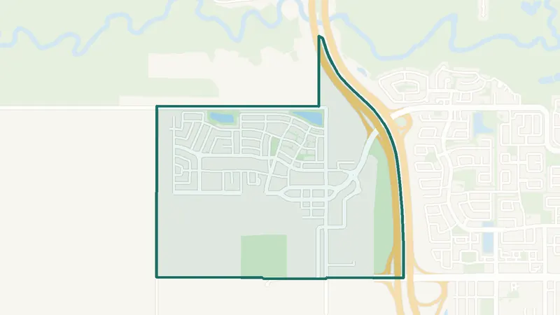
Founded in 1976, between Anderson Road SW, 14 Street SW, 24 Street SW and Fish Creek Provincial Park. The private Canyon Meadows Golf & Country Club sits entirely within the community, and Woodlands shares the Woodcreek Community Association with Woodbine. Woodpark MAX Yellow station is next door. Only a few homes are listed at a time, mostly detached.
 Map © OpenStreetMap contributorsIn development
Alpine Park
- Newer community
- New since 2021
- 0 schools
A southwest Calgary community. It is too new for a 2021 Census community profile. The City lists it as still being built out. There is no school inside its boundary. See homes for sale in Alpine Park.
 Map © OpenStreetMap contributorsInner city
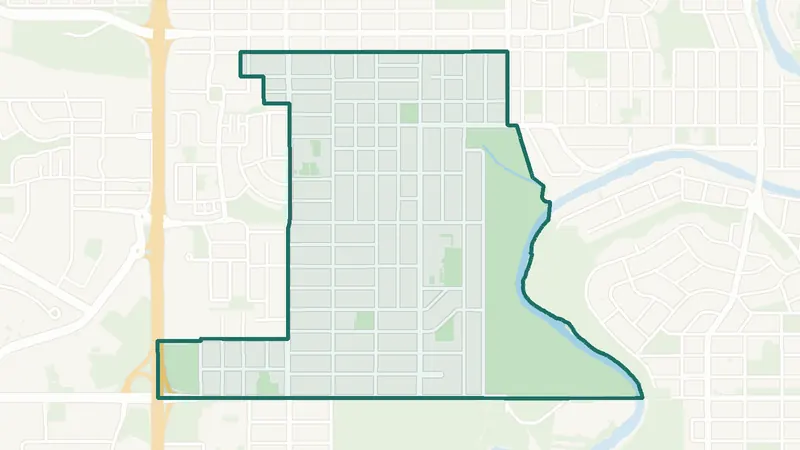
Altadore
- Inner city
- 7,290 residents
- 4 schools
A southwest Calgary community. The City of Calgary classifies it as an inner-city community. 7,290 residents lived here at the 2021 Census. 4 schools are inside its boundary. See homes for sale in Altadore.
 Map © OpenStreetMap contributorsEstablished
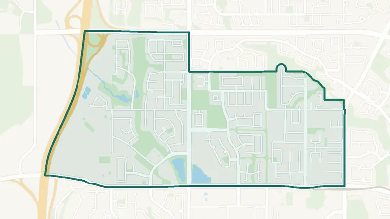
Aspen Woods
- Built 2001–10
- 9,435 residents
- 4 schools
A southwest Calgary community. The largest share of its homes, 49%, was built in 2001–10 (2021 Census). The City lists it as still being built out. 9,435 residents lived here at the 2021 Census. 4 schools are inside its boundary. See homes for sale in Aspen Woods.
 Map © OpenStreetMap contributorsInner city
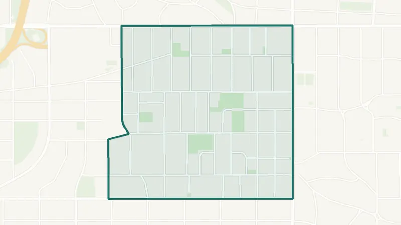
Bankview
- Built 1961–80
- 5,125 residents
- 0 schools
A southwest Calgary community. The largest share of its homes, 42%, was built in 1961–80 (2021 Census). 5,125 residents lived here at the 2021 Census. There is no school inside its boundary. See homes for sale in Bankview.
 Map © OpenStreetMap contributorsEstablished
No listings right now · Get new listings by email
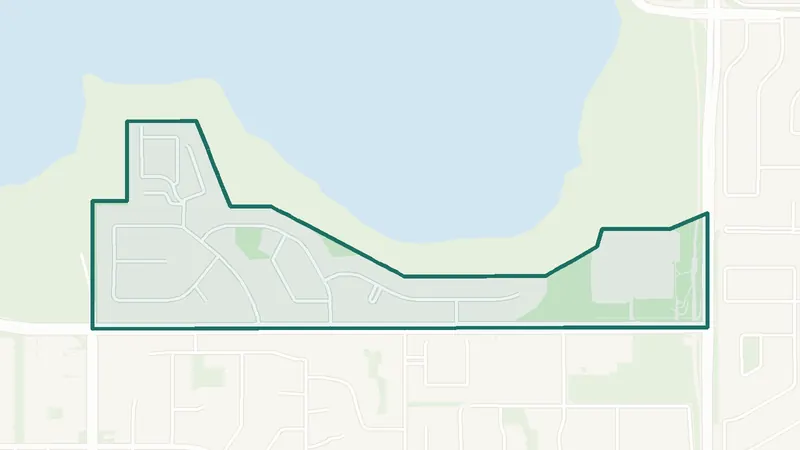
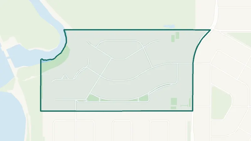
Bayview
- Built 1961–80
- 670 residents
- 0 schools
A southwest Calgary community. The largest share of its homes, 92%, was built in 1961–80 (2021 Census). 670 residents lived here at the 2021 Census. There is no school inside its boundary. See homes for sale in Bayview.
 Map © OpenStreetMap contributorsEstablished
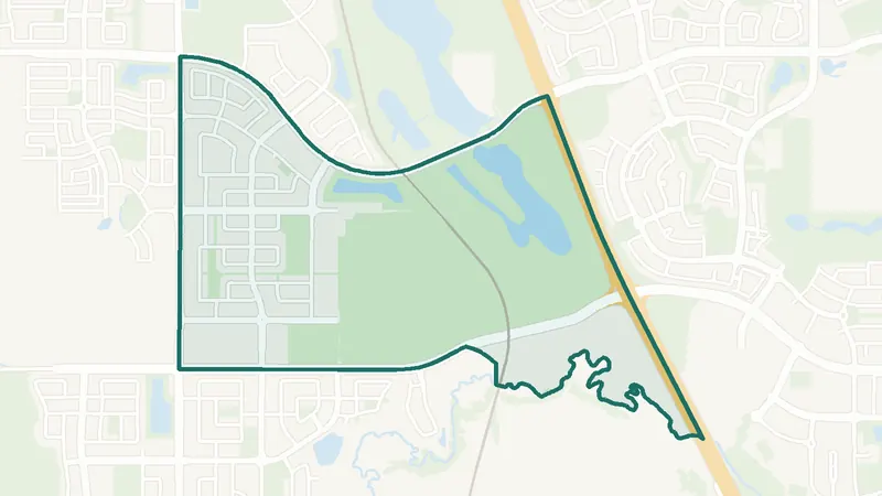
Bel-Aire
- Built 1961–80
- 400 residents
- 0 schools
A southwest Calgary community. The largest share of its homes, 52%, was built in 1961–80 (2021 Census). 400 residents lived here at the 2021 Census. There is no school inside its boundary. See homes for sale in Bel-Aire.
 Map © OpenStreetMap contributorsIn development
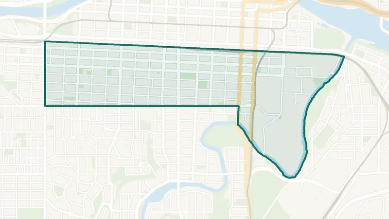
Belmont
- Built 2016–21
- 800 residents
- 0 schools
A southwest Calgary community. The largest share of its homes, 100%, was built in 2016–21 (2021 Census). The City lists it as still being built out. 800 residents lived here at the 2021 Census. There is no school inside its boundary. See homes for sale in Belmont.
 Map © OpenStreetMap contributorsInner city
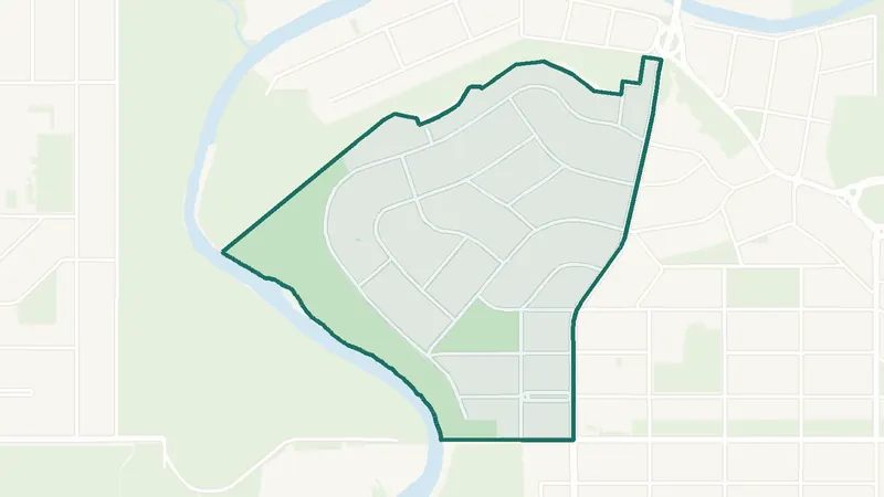
Beltline
- Built 1961–80
- 25,880 residents
- CTrain station
A southwest Calgary community. The largest share of its homes, 25%, was built in 1961–80 (2021 Census). 25,880 residents lived here at the 2021 Census. Victoria Park/Stampede Station is inside the community. 4 schools are inside its boundary. See homes for sale in Beltline.
 Map © OpenStreetMap contributorsEstablished
No listings right now · Get new listings by email
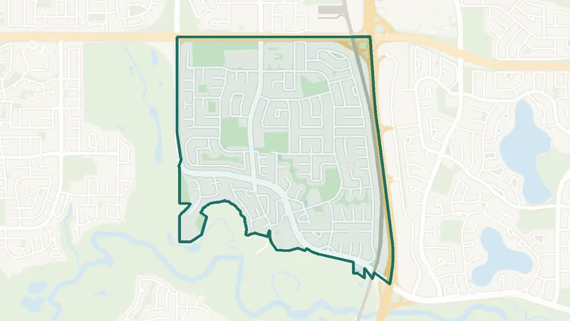
Britannia
- Built before 1961
- 765 residents
- 0 schools
A southwest Calgary community. The largest share of its homes, 49%, was built before 1961 (2021 Census). 765 residents lived here at the 2021 Census. There is no school inside its boundary. See homes for sale in Britannia.
 Map © OpenStreetMap contributorsFish Creek Park
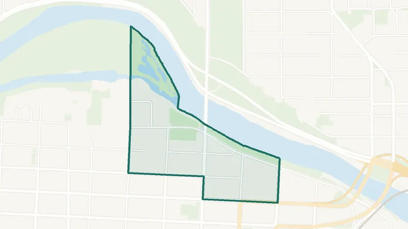
Canyon Meadows
- Built 1961–80
- 7,435 residents
- CTrain station
A southwest Calgary community. The largest share of its homes, 74%, was built in 1961–80 (2021 Census). 7,435 residents lived here at the 2021 Census. Canyon Meadows Station is inside the community. 4 schools are inside its boundary. See homes for sale in Canyon Meadows.
 Map © OpenStreetMap contributorsInner city
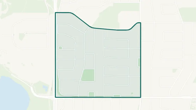
Chinatown
- Built 1981–90
- 2,250 residents
- 2 schools
A southwest Calgary community. The largest share of its homes, 24%, was built in 1981–90 (2021 Census). 2,250 residents lived here at the 2021 Census. 2 schools are inside its boundary. See homes for sale in Chinatown.
 Map © OpenStreetMap contributorsEstablished
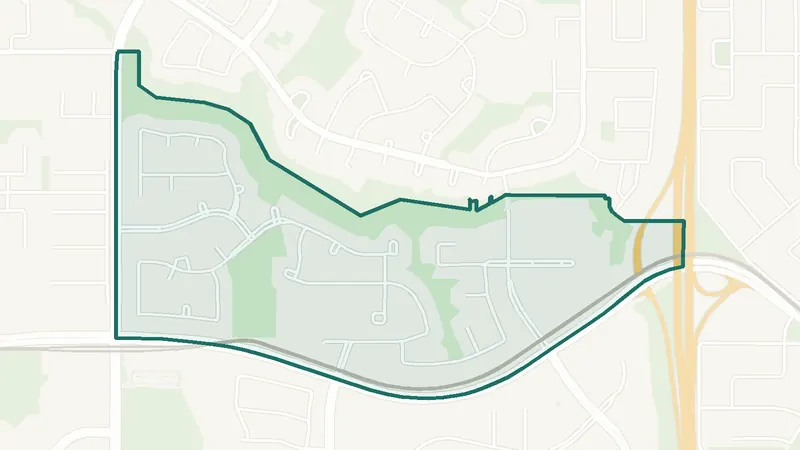
Chinook Park
- Built before 1961
- 1,535 residents
- 0 schools
A southwest Calgary community. The largest share of its homes, 47%, was built before 1961 (2021 Census). 1,535 residents lived here at the 2021 Census. There is no school inside its boundary. See homes for sale in Chinook Park.
 Map © OpenStreetMap contributorsEstablished
Christie Park
- Built 1991–2000
- 1,880 residents
- CTrain station
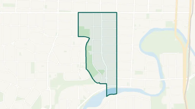
A southwest Calgary community. The largest share of its homes, 59%, was built in 1991–2000 (2021 Census). 1,880 residents lived here at the 2021 Census. Sirocco Station is inside the community. There is no school inside its boundary. See homes for sale in Christie Park.
 Map © OpenStreetMap contributorsInner city
Cliff Bungalow
- Built 1961–80
- 1,805 residents
- 2 schools
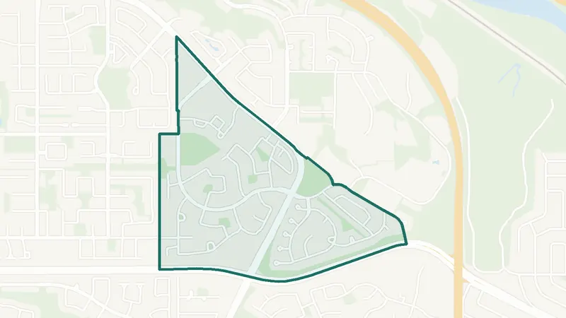
A southwest Calgary community. The largest share of its homes, 35%, was built in 1961–80 (2021 Census). 1,805 residents lived here at the 2021 Census. 2 schools are inside its boundary. See homes for sale in Cliff Bungalow.
 Map © OpenStreetMap contributorsEstablished
Coach Hill
- Built 1961–80
- 3,275 residents
- 0 schools
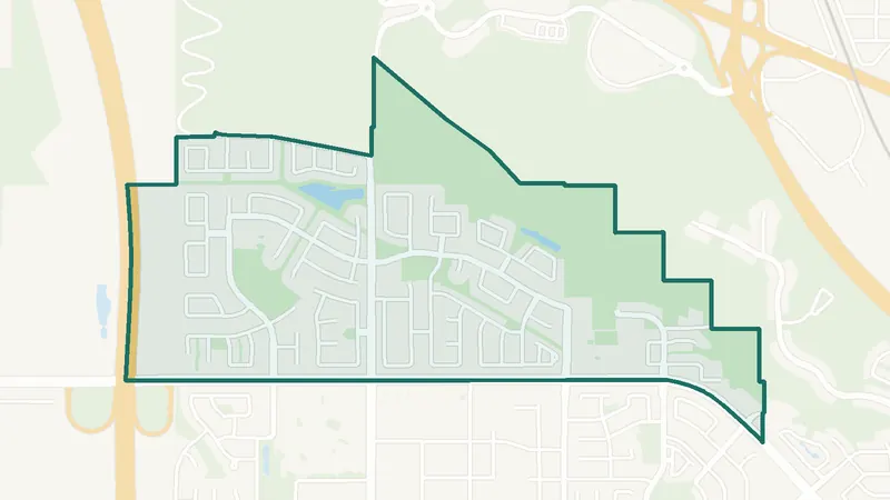
A southwest Calgary community. The largest share of its homes, 49%, was built in 1961–80 (2021 Census). 3,275 residents lived here at the 2021 Census. There is no school inside its boundary. See homes for sale in Coach Hill.
 Map © OpenStreetMap contributorsEstablished
Cougar Ridge
- Built 2001–10
- 7,150 residents
- 2 schools
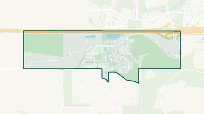
A southwest Calgary community. The largest share of its homes, 79%, was built in 2001–10 (2021 Census). 7,150 residents lived here at the 2021 Census. 2 schools are inside its boundary. See homes for sale in Cougar Ridge.
 Map © OpenStreetMap contributorsEstablished
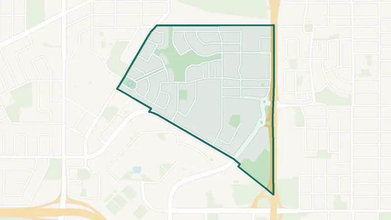
Crestmont
- Built 2001–10
- 2,275 residents
- 0 schools
A southwest Calgary community. The largest share of its homes, 51%, was built in 2001–10 (2021 Census). 2,275 residents lived here at the 2021 Census. There is no school inside its boundary. See homes for sale in Crestmont.
 Map © OpenStreetMap contributorsIn development
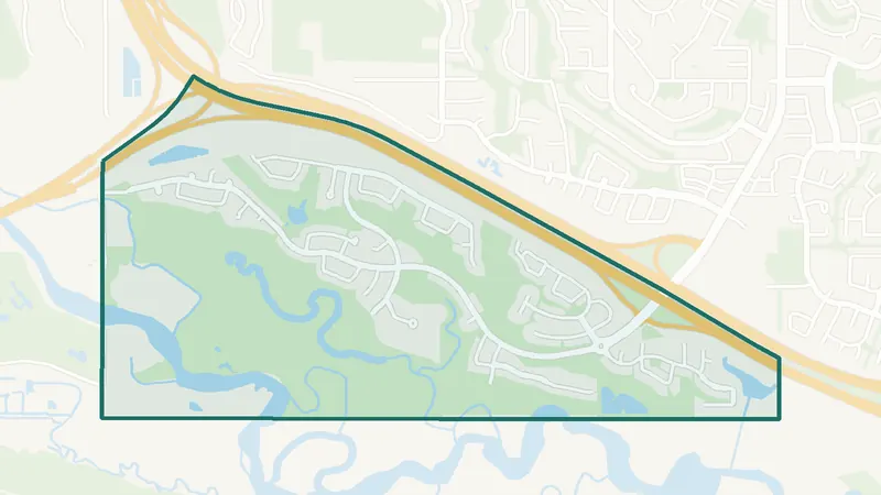
Currie Barracks
- Built 2016–21
- 1,275 residents
- 10 schools
A southwest Calgary community. The largest share of its homes, 53%, was built in 2016–21 (2021 Census). The City lists it as still being built out. 1,275 residents lived here at the 2021 Census. 10 schools are inside its boundary. See homes for sale in Currie Barracks.
 Map © OpenStreetMap contributorsEstablished
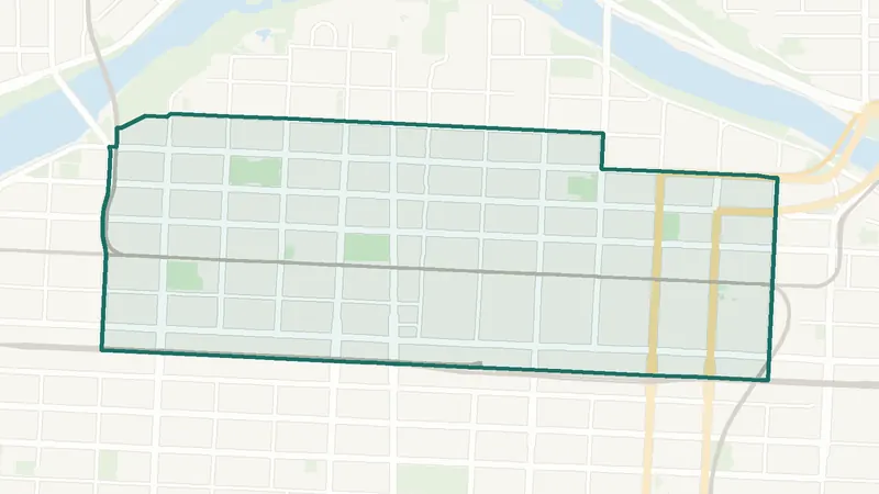
Discovery Ridge
- Built 2001–10
- 4,330 residents
- 0 schools
A southwest Calgary community. The largest share of its homes, 83%, was built in 2001–10 (2021 Census). 4,330 residents lived here at the 2021 Census. There is no school inside its boundary. See homes for sale in Discovery Ridge.
 Map © OpenStreetMap contributorsInner city
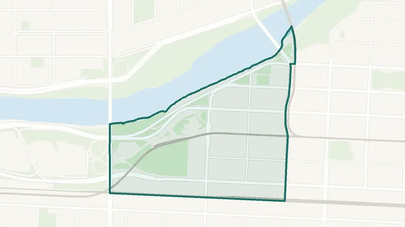
Downtown Commercial Core
- Built 1961–80
- 8,225 residents
- CTrain station
A southwest Calgary community. The largest share of its homes, 54%, was built in 1961–80 (2021 Census). 8,225 residents lived here at the 2021 Census. 1st Street SW Station, 3rd Street SW Station, 4th Street SW Station, 6th Street SW Station, 7th Street SW Station, 8th Street SW Station, Centre Street Station and City Hall Station are inside the community. 1 school is inside its boundary. See homes for sale in Downtown Commercial Core.
 Map © OpenStreetMap contributorsInner city
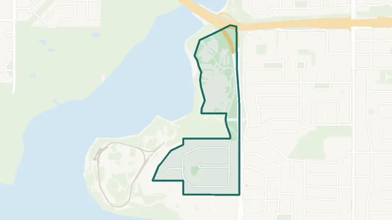
Downtown West End
- Built 2001–10
- 2,825 residents
- CTrain station
A southwest Calgary community. The largest share of its homes, 56%, was built in 2001–10 (2021 Census). 2,825 residents lived here at the 2021 Census. Downtown West – Kerby Station is inside the community. There is no school inside its boundary. See homes for sale in Downtown West End.
 Map © OpenStreetMap contributorsEstablished
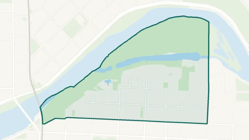
Eagle Ridge
- Built 1961–80
- 260 residents
- 0 schools
A southwest Calgary community. The largest share of its homes, 62%, was built in 1961–80 (2021 Census). 260 residents lived here at the 2021 Census. There is no school inside its boundary. See homes for sale in Eagle Ridge.
 Map © OpenStreetMap contributorsInner city
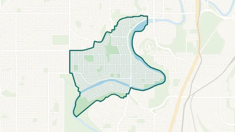
Eau Claire
- Built 1991–2000
- 1,875 residents
- 0 schools
A southwest Calgary community. The largest share of its homes, 30%, was built in 1991–2000 (2021 Census). 1,875 residents lived here at the 2021 Census. There is no school inside its boundary. See homes for sale in Eau Claire.
 Map © OpenStreetMap contributorsInner city
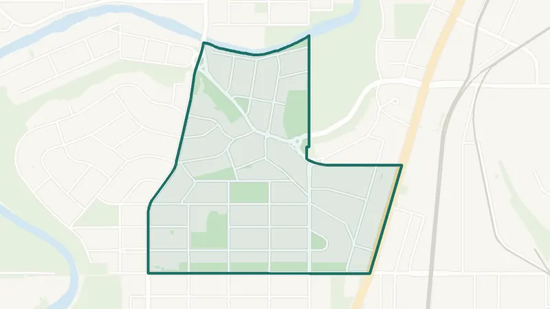
Elbow Park
- Inner city
- 3,285 residents
- 2 schools
A southwest Calgary community. The City of Calgary classifies it as an inner-city community. 3,285 residents lived here at the 2021 Census. 2 schools are inside its boundary. See homes for sale in Elbow Park.
 Map © OpenStreetMap contributorsEstablished
Elboya
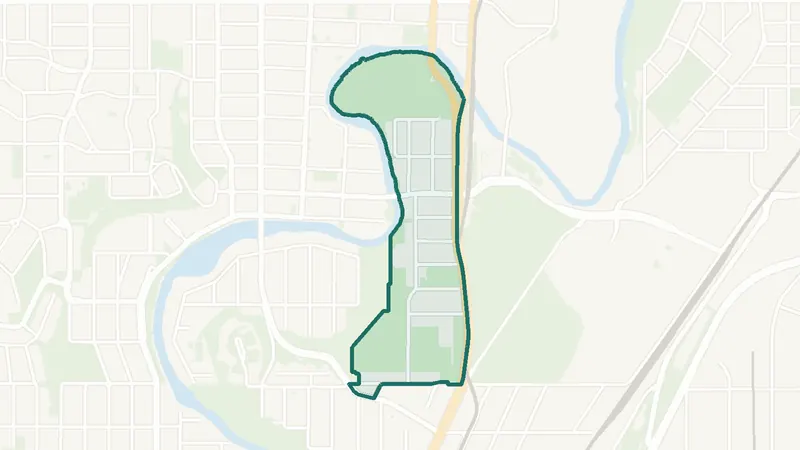
- Built before 1961
- 1,835 residents
- 2 schools
A southwest Calgary community. The largest share of its homes, 44%, was built before 1961 (2021 Census). 1,835 residents lived here at the 2021 Census. 2 schools are inside its boundary. See homes for sale in Elboya.
 Map © OpenStreetMap contributorsInner city
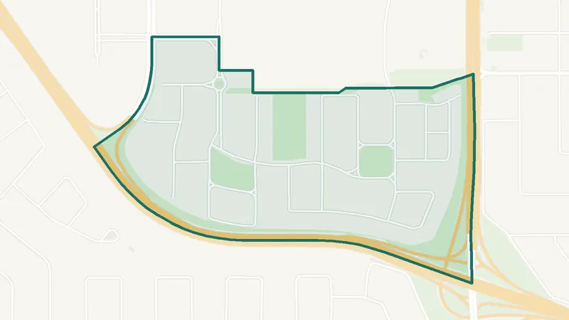
Erlton
- Built 1991–2000
- 1,280 residents
- 0 schools
A southwest Calgary community. The largest share of its homes, 36%, was built in 1991–2000 (2021 Census). 1,280 residents lived here at the 2021 Census. There is no school inside its boundary. See homes for sale in Erlton.
 Map © OpenStreetMap contributorsEstablished
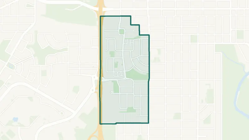
Garrison Green
- Built 2001–10
- 1,680 residents
- 0 schools
A southwest Calgary community. The largest share of its homes, 77%, was built in 2001–10 (2021 Census). The City lists it as still being built out. 1,680 residents lived here at the 2021 Census. There is no school inside its boundary. See homes for sale in Garrison Green.
 Map © OpenStreetMap contributorsInner city
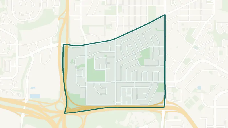
Garrison Woods
- Inner city
- 2,860 residents
- 3 schools
A southwest Calgary community. The City of Calgary classifies it as an inner-city community. 2,860 residents lived here at the 2021 Census. 3 schools are inside its boundary. See homes for sale in Garrison Woods.
 Map © OpenStreetMap contributorsEstablished
Glamorgan
- Built 1961–80
- 6,575 residents
- 2 schools
A southwest Calgary community. The largest share of its homes, 43%, was built in 1961–80 (2021 Census). 6,575 residents lived here at the 2021 Census. 2 schools are inside its boundary. See homes for sale in Glamorgan.
 Map © OpenStreetMap contributorsEstablished
Glenbrook
- Built 1961–80
- 7,240 residents
- 5 schools
A southwest Calgary community. The largest share of its homes, 49%, was built in 1961–80 (2021 Census). 7,240 residents lived here at the 2021 Census. 5 schools are inside its boundary. See homes for sale in Glenbrook.
 Map © OpenStreetMap contributorsEstablished
Glendale
- Built before 1961
- 2,715 residents
- 4 schools
A southwest Calgary community. The largest share of its homes, 69%, was built before 1961 (2021 Census). 2,715 residents lived here at the 2021 Census. 4 schools are inside its boundary. See homes for sale in Glendale.
 Map © OpenStreetMap contributorsEstablished
Haysboro
- Built before 1961
- 6,960 residents
- CTrain station
A southwest Calgary community. The largest share of its homes, 40%, was built before 1961 (2021 Census). 6,960 residents lived here at the 2021 Census. Heritage Station is inside the community. 6 schools are inside its boundary. See homes for sale in Haysboro.
 Map © OpenStreetMap contributorsEstablished
Kelvin Grove
- Built 1961–80
- 1,805 residents
- 6 schools
A southwest Calgary community. The largest share of its homes, 71%, was built in 1961–80 (2021 Census). 1,805 residents lived here at the 2021 Census. 6 schools are inside its boundary. See homes for sale in Kelvin Grove.
 Map © OpenStreetMap contributorsEstablished
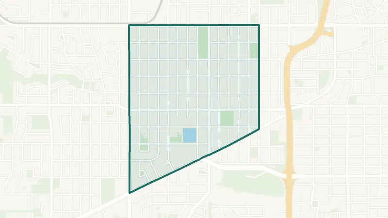
Killarney/Glengarry
- Built before 1961
- 7,920 residents
- 2 schools
A southwest Calgary community. The largest share of its homes, 23%, was built before 1961 (2021 Census). 7,920 residents lived here at the 2021 Census. 2 schools are inside its boundary. See homes for sale in Killarney/Glengarry.
 Map © OpenStreetMap contributorsEstablished
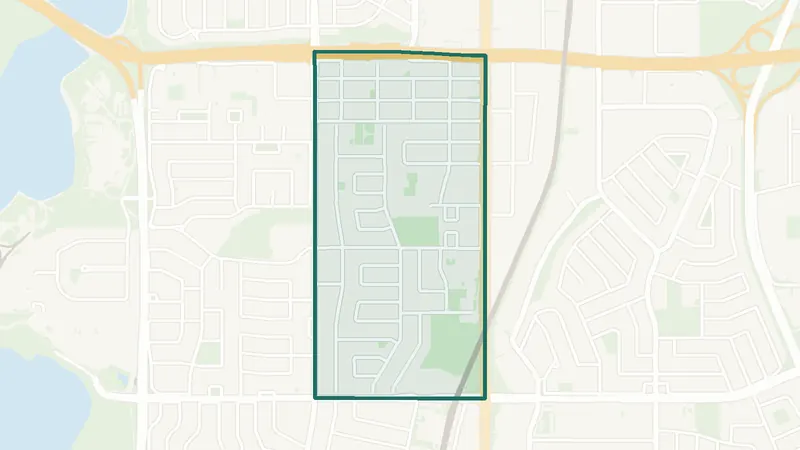
Kingsland
- Built 1961–80
- 4,900 residents
- 1 school
A southwest Calgary community. The largest share of its homes, 41%, was built in 1961–80 (2021 Census). 4,900 residents lived here at the 2021 Census. 1 school is inside its boundary. See homes for sale in Kingsland.
 Map © OpenStreetMap contributorsEstablished
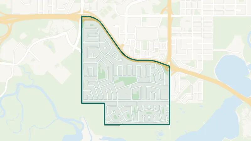
Lakeview
- Built 1961–80
- 5,640 residents
- 3 schools
A southwest Calgary community. The largest share of its homes, 80%, was built in 1961–80 (2021 Census). 5,640 residents lived here at the 2021 Census. 3 schools are inside its boundary. See homes for sale in Lakeview.
 Map © OpenStreetMap contributorsEstablished
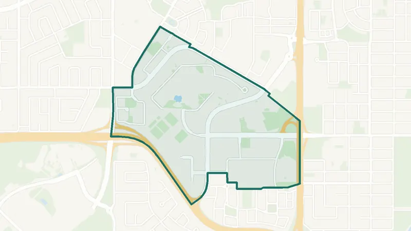
Lincoln Park
- Built 2001–10
- 1,590 residents
- 1 school
A southwest Calgary community. The largest share of its homes, 39%, was built in 2001–10 (2021 Census). 1,590 residents lived here at the 2021 Census. 1 school is inside its boundary. See homes for sale in Lincoln Park.
 Map © OpenStreetMap contributorsInner city
Lower Mount Royal
- Built 1961–80
- 2,990 residents
- 0 schools
A southwest Calgary community. The largest share of its homes, 37%, was built in 1961–80 (2021 Census). 2,990 residents lived here at the 2021 Census. There is no school inside its boundary. See homes for sale in Lower Mount Royal.
 Map © OpenStreetMap contributorsEstablished
No listings right now · Get new listings by email
Manchester
- Built 2001–10
- 950 residents
- 0 schools
A southwest Calgary community. The largest share of its homes, 34%, was built in 2001–10 (2021 Census). 950 residents lived here at the 2021 Census. There is no school inside its boundary. See homes for sale in Manchester.
 Map © OpenStreetMap contributorsEstablished
Mayfair
- Built before 1961
- 410 residents
- 0 schools
A southwest Calgary community. The largest share of its homes, 66%, was built before 1961 (2021 Census). 410 residents lived here at the 2021 Census. There is no school inside its boundary. See homes for sale in Mayfair.
 Map © OpenStreetMap contributorsEstablished
Meadowlark Park
- Built before 1961
- 610 residents
- 0 schools
A southwest Calgary community. The largest share of its homes, 81%, was built before 1961 (2021 Census). 610 residents lived here at the 2021 Census. There is no school inside its boundary. See homes for sale in Meadowlark Park.
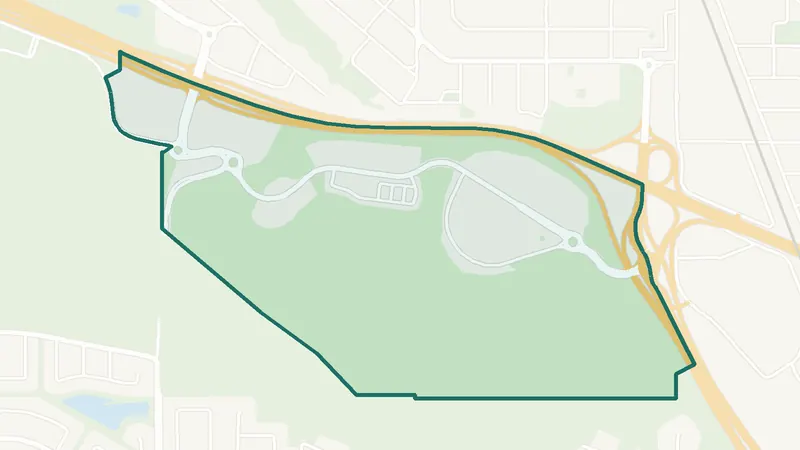 Map © OpenStreetMap contributorsIn development
Medicine Hill
- Newer community
- New since 2021
- 0 schools
A southwest Calgary community. It is too new for a 2021 Census community profile. There is no school inside its boundary. See homes for sale in Medicine Hill.
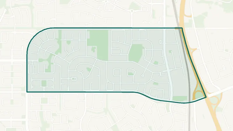 Map © OpenStreetMap contributorsEstablished
Millrise
- Built 1981–90
- 6,655 residents
- 1 school
A southwest Calgary community. The largest share of its homes, 37%, was built in 1981–90 (2021 Census). 6,655 residents lived here at the 2021 Census. 1 school is inside its boundary. See homes for sale in Millrise.
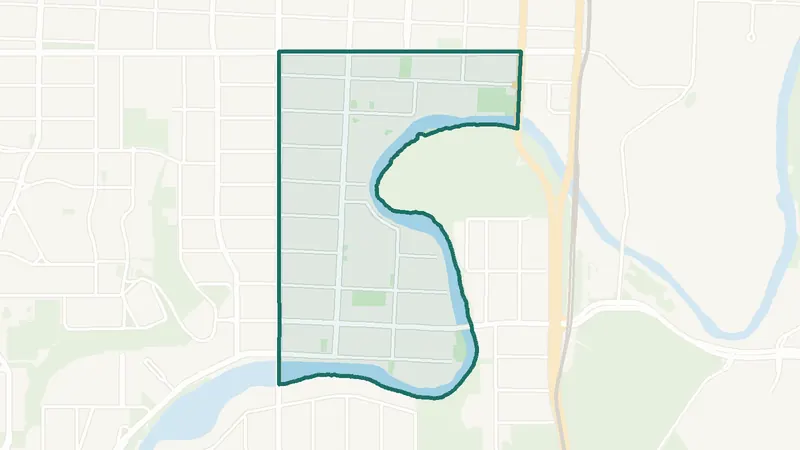 Map © OpenStreetMap contributorsInner city
Mission
- Built 1961–80
- 4,505 residents
- 3 schools
A southwest Calgary community. The largest share of its homes, 35%, was built in 1961–80 (2021 Census). 4,505 residents lived here at the 2021 Census. 3 schools are inside its boundary. See homes for sale in Mission.
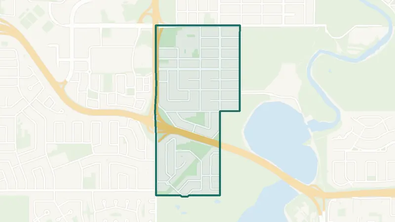 Map © OpenStreetMap contributorsEstablished
North Glenmore Park
- Built 1961–80
- 2,435 residents
- 5 schools
A southwest Calgary community. The largest share of its homes, 45%, was built in 1961–80 (2021 Census). 2,435 residents lived here at the 2021 Census. 5 schools are inside its boundary. See homes for sale in North Glenmore Park.
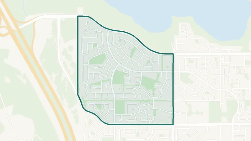 Map © OpenStreetMap contributorsEstablished
Oakridge
- Built 1961–80
- 5,620 residents
- 1 school
A southwest Calgary community. The largest share of its homes, 88%, was built in 1961–80 (2021 Census). 5,620 residents lived here at the 2021 Census. 1 school is inside its boundary. See homes for sale in Oakridge.
 Map © OpenStreetMap contributorsIn development
Osprey Hill
- Newer community
- New since 2021
- 0 schools
A southwest Calgary community. It is too new for a 2021 Census community profile. There is no school inside its boundary. See homes for sale in Osprey Hill.
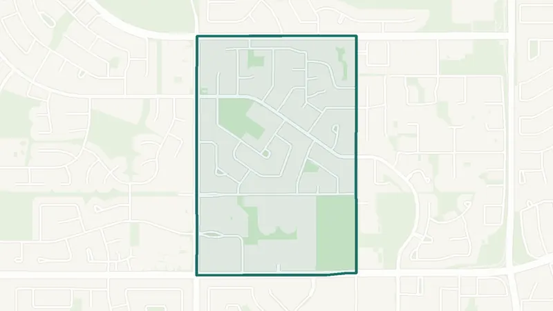 Map © OpenStreetMap contributorsEstablished
Palliser
- Built 1961–80
- 3,285 residents
- 1 school
A southwest Calgary community. The largest share of its homes, 64%, was built in 1961–80 (2021 Census). 3,285 residents lived here at the 2021 Census. 1 school is inside its boundary. See homes for sale in Palliser.
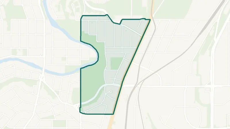 Map © OpenStreetMap contributorsEstablished
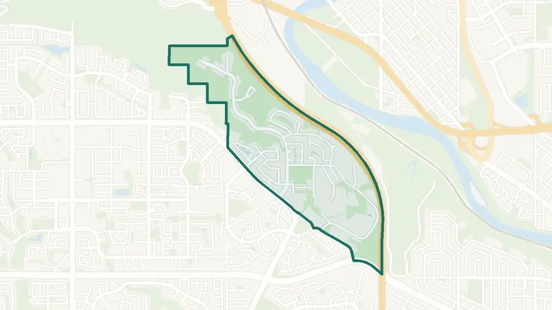
Parkhill
- Built before 1961
- 1,770 residents
- 0 schools
A southwest Calgary community. The largest share of its homes, 25%, was built before 1961 (2021 Census). 1,770 residents lived here at the 2021 Census. There is no school inside its boundary. See homes for sale in Parkhill.
 Map © OpenStreetMap contributorsEstablished
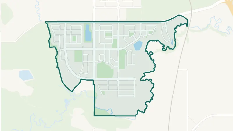
Patterson
- Built 1991–2000
- 4,145 residents
- 0 schools
A southwest Calgary community. The largest share of its homes, 51%, was built in 1991–2000 (2021 Census). 4,145 residents lived here at the 2021 Census. There is no school inside its boundary. See homes for sale in Patterson.
 Map © OpenStreetMap contributorsIn development
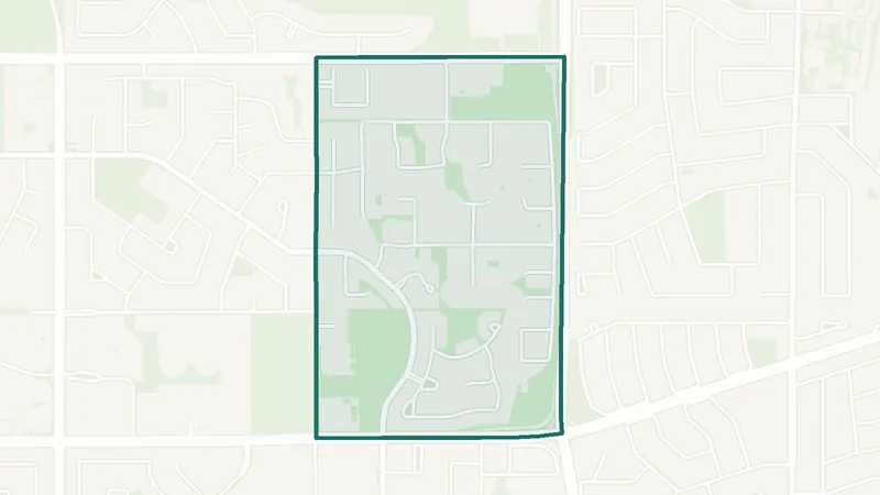
Pine Creek
- Built 2016–21
- 245 residents
- 0 schools
A southwest Calgary community. The largest share of its homes, 100%, was built in 2016–21 (2021 Census). The City lists it as still being built out. 245 residents lived here at the 2021 Census. There is no school inside its boundary. See homes for sale in Pine Creek.
 Map © OpenStreetMap contributorsEstablished
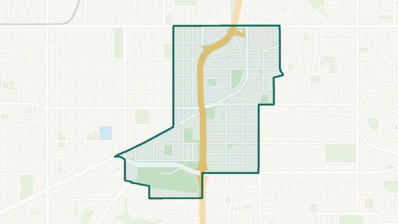
Pump Hill
- Built 1961–80
- 1,455 residents
- 2 schools
A southwest Calgary community. The largest share of its homes, 48%, was built in 1961–80 (2021 Census). 1,455 residents lived here at the 2021 Census. 2 schools are inside its boundary. See homes for sale in Pump Hill.
 Map © OpenStreetMap contributorsEstablished
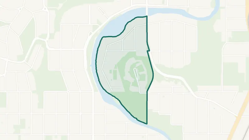
Richmond
- Built before 1961
- 5,250 residents
- 5 schools
A southwest Calgary community. The largest share of its homes, 27%, was built before 1961 (2021 Census). 5,250 residents lived here at the 2021 Census. 5 schools are inside its boundary. See homes for sale in Richmond.
 Map © OpenStreetMap contributorsInner city
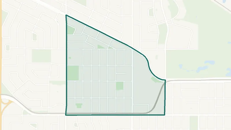
Rideau Park
- Built before 1961
- 675 residents
- 1 school
A southwest Calgary community. The largest share of its homes, 63%, was built before 1961 (2021 Census). 675 residents lived here at the 2021 Census. 1 school is inside its boundary. See homes for sale in Rideau Park.
 Map © OpenStreetMap contributorsEstablished
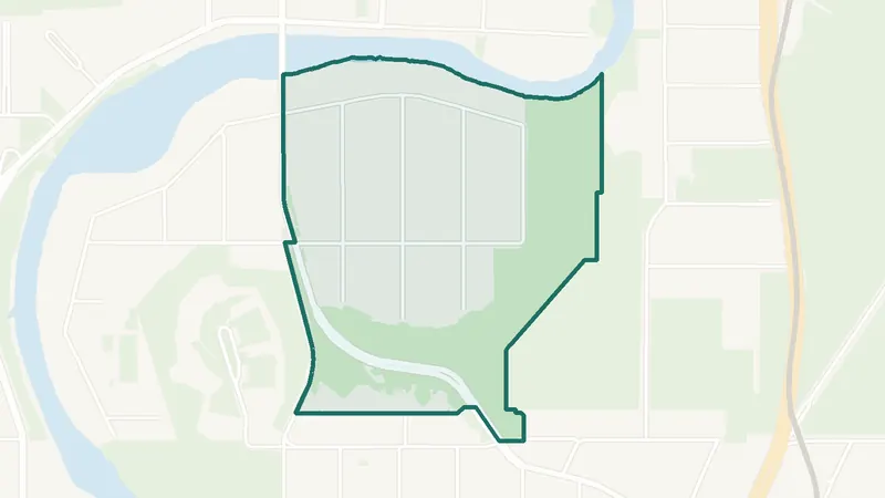
Rosscarrock
- Built 1961–80
- 3,490 residents
- CTrain station
A southwest Calgary community. The largest share of its homes, 41%, was built in 1961–80 (2021 Census). 3,490 residents lived here at the 2021 Census. Westbrook Station is inside the community. 3 schools are inside its boundary. See homes for sale in Rosscarrock.
 Map © OpenStreetMap contributorsInner city
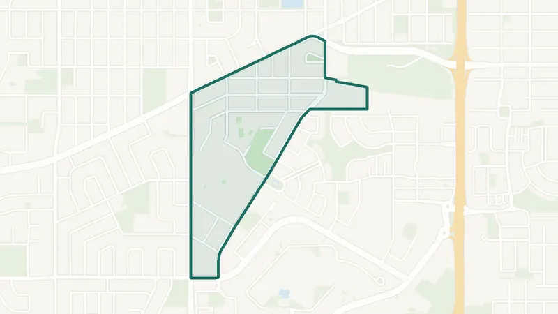
Roxboro
- Built before 1961
- 415 residents
- 0 schools
A southwest Calgary community. The largest share of its homes, 64%, was built before 1961 (2021 Census). 415 residents lived here at the 2021 Census. There is no school inside its boundary. See homes for sale in Roxboro.
 Map © OpenStreetMap contributorsEstablished
Rutland Park
- Built 1961–80
- 2,140 residents
- 1 school
A southwest Calgary community. The largest share of its homes, 50%, was built in 1961–80 (2021 Census). 2,140 residents lived here at the 2021 Census. 1 school is inside its boundary. See homes for sale in Rutland Park.
 Map © OpenStreetMap contributorsInner city
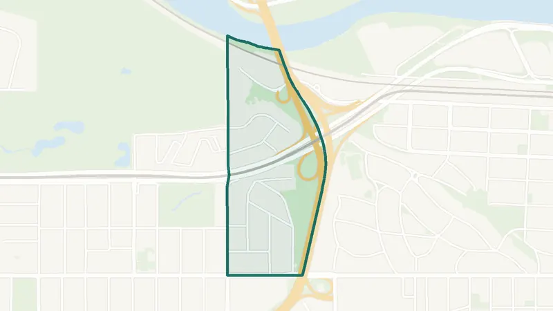
Scarboro
- Built before 1961
- 1,010 residents
- 1 school
A southwest Calgary community. The largest share of its homes, 77%, was built before 1961 (2021 Census). 1,010 residents lived here at the 2021 Census. 1 school is inside its boundary. See homes for sale in Scarboro.
 Map © OpenStreetMap contributorsEstablished
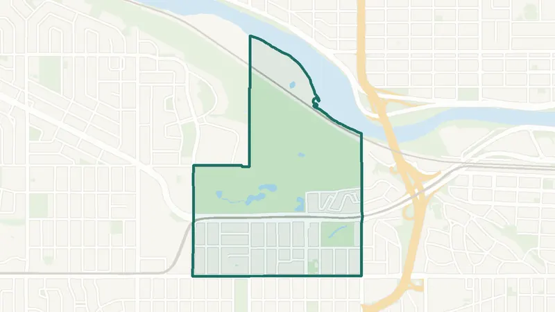
Scarboro/Sunalta West
- Built before 1961
- 465 residents
- 0 schools
A southwest Calgary community. The largest share of its homes, 86%, was built before 1961 (2021 Census). 465 residents lived here at the 2021 Census. There is no school inside its boundary. See homes for sale in Scarboro/Sunalta West.
 Map © OpenStreetMap contributorsEstablished
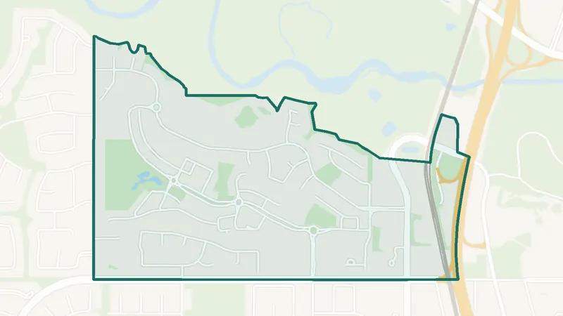
Shaganappi
- 1950s
- 1,765 residents
- CTrain station
A southwest Calgary community. The City of Calgary classifies it as a community built mostly in the 1950s. 1,765 residents lived here at the 2021 Census. Shaganappi Point Station is inside the community. 1 school is inside its boundary. See homes for sale in Shaganappi.
 Map © OpenStreetMap contributorsFish Creek Park
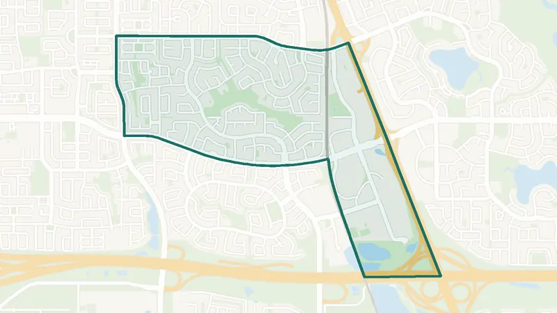
Shawnee Slopes
- Built 1981–90
- 2,020 residents
- CTrain station
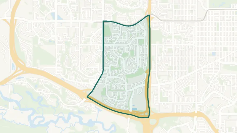
A southwest Calgary community. The largest share of its homes, 40%, was built in 1981–90 (2021 Census). 2,020 residents lived here at the 2021 Census. Fish Creek – Lacombe Station is inside the community. There is no school inside its boundary. See homes for sale in Shawnee Slopes.
 Map © OpenStreetMap contributorsEstablished
Shawnessy
- Built 1981–90
- 9,055 residents
- CTrain station
A southwest Calgary community. The largest share of its homes, 42%, was built in 1981–90 (2021 Census). 9,055 residents lived here at the 2021 Census. Shawnessy Station is inside the community. 4 schools are inside its boundary. See homes for sale in Shawnessy.
 Map © OpenStreetMap contributorsEstablished
Signal Hill
- Built 1991–2000
- 13,000 residents
- 1 school
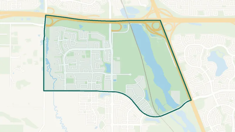
A southwest Calgary community. The largest share of its homes, 62%, was built in 1991–2000 (2021 Census). 13,000 residents lived here at the 2021 Census. 1 school is inside its boundary. See homes for sale in Signal Hill.
 Map © OpenStreetMap contributorsEstablished
Silverado
- Built 2001–10
- 7,975 residents
- 3 schools
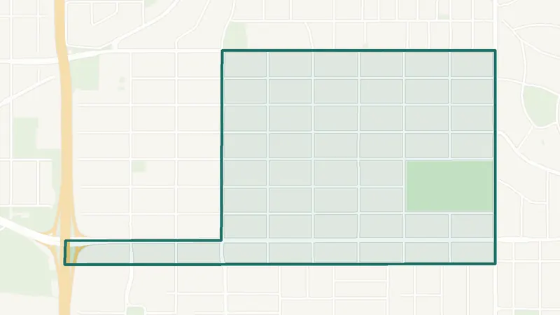
A southwest Calgary community. The largest share of its homes, 57%, was built in 2001–10 (2021 Census). The City lists it as still being built out. 7,975 residents lived here at the 2021 Census. 3 schools are inside its boundary. See homes for sale in Silverado.
 Map © OpenStreetMap contributorsInner city
South Calgary
- Inner city
- 4,540 residents
- 1 school
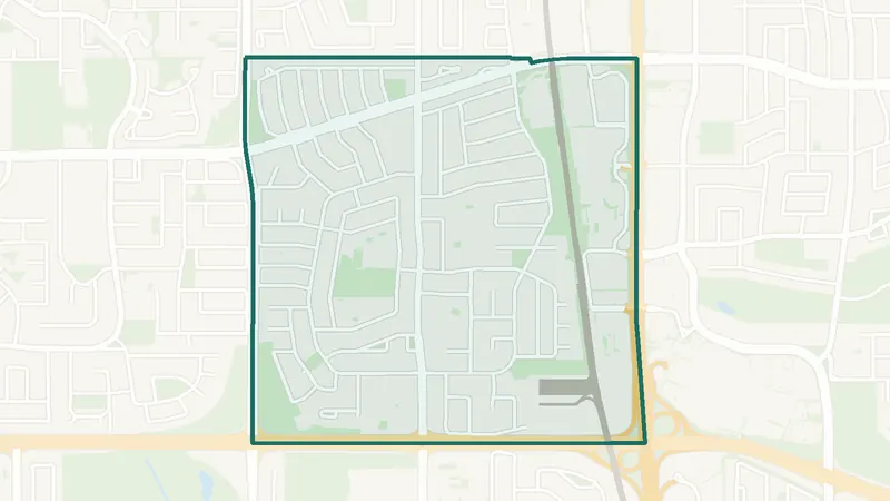
A southwest Calgary community. The City of Calgary classifies it as an inner-city community. 4,540 residents lived here at the 2021 Census. 1 school is inside its boundary. See homes for sale in South Calgary.
 Map © OpenStreetMap contributorsEstablished
Southwood
- Built 1961–80
- 6,095 residents
- CTrain station
A southwest Calgary community. The largest share of its homes, 72%, was built in 1961–80 (2021 Census). 6,095 residents lived here at the 2021 Census. Anderson Station and Southland Station are inside the community. 4 schools are inside its boundary. See homes for sale in Southwood.
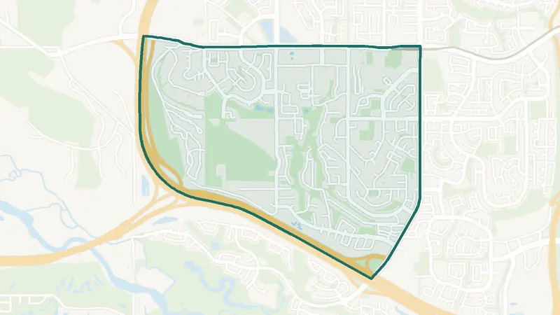 Map © OpenStreetMap contributorsEstablished
Springbank Hill
- Built 2001–10
- 9,840 residents
- CTrain station
A southwest Calgary community. The largest share of its homes, 64%, was built in 2001–10 (2021 Census). The City lists it as still being built out. 9,840 residents lived here at the 2021 Census. 69 Street SW Station is inside the community. 6 schools are inside its boundary. See homes for sale in Springbank Hill.
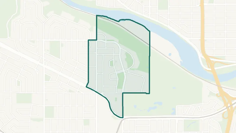 Map © OpenStreetMap contributorsEstablished
Spruce Cliff
- Built 2001–10
- 4,195 residents
- 2 schools
A southwest Calgary community. The largest share of its homes, 39%, was built in 2001–10 (2021 Census). 4,195 residents lived here at the 2021 Census. 2 schools are inside its boundary. See homes for sale in Spruce Cliff.
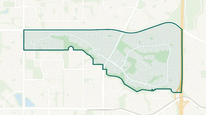 Map © OpenStreetMap contributorsEstablished
Strathcona Park
- Built 1981–90
- 6,830 residents
- 3 schools
A southwest Calgary community. The largest share of its homes, 48%, was built in 1981–90 (2021 Census). 6,830 residents lived here at the 2021 Census. 3 schools are inside its boundary. See homes for sale in Strathcona Park.
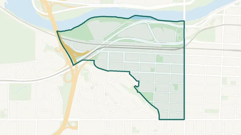 Map © OpenStreetMap contributorsInner city
Sunalta
- Built 1961–80
- 3,090 residents
- CTrain station
A southwest Calgary community. The largest share of its homes, 38%, was built in 1961–80 (2021 Census). 3,090 residents lived here at the 2021 Census. Sunalta Station is inside the community. 1 school is inside its boundary. See homes for sale in Sunalta.
 Map © OpenStreetMap contributorsIn development
University District
- Built 2016–21
- 960 residents
- 2 schools
A southwest Calgary community. The largest share of its homes, 77%, was built in 2016–21 (2021 Census). 960 residents lived here at the 2021 Census. 2 schools are inside its boundary. See homes for sale in University District.
 Map © OpenStreetMap contributorsInner city
Upper Mount Royal
- Built before 1961
- 2,735 residents
- 2 schools
A southwest Calgary community. The largest share of its homes, 46%, was built before 1961 (2021 Census). 2,735 residents lived here at the 2021 Census. 2 schools are inside its boundary. See homes for sale in Upper Mount Royal.
 Map © OpenStreetMap contributorsEstablished
West Springs
- Built 2001–10
- 11,560 residents
- 3 schools
A southwest Calgary community. The largest share of its homes, 58%, was built in 2001–10 (2021 Census). The City lists it as still being built out. 11,560 residents lived here at the 2021 Census. 3 schools are inside its boundary. See homes for sale in West Springs.
 Map © OpenStreetMap contributorsEstablished
Westgate
- Built before 1961
- 3,225 residents
- CTrain station
A southwest Calgary community. The largest share of its homes, 58%, was built before 1961 (2021 Census). 3,225 residents lived here at the 2021 Census. 45 Street SW Station is inside the community. 2 schools are inside its boundary. See homes for sale in Westgate.
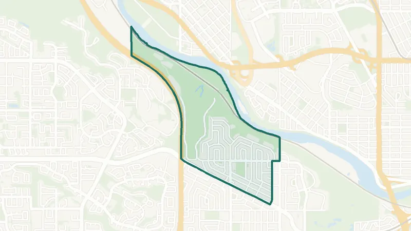 Map © OpenStreetMap contributorsEstablished
Wildwood
- Built before 1961
- 2,765 residents
- 1 school
A southwest Calgary community. The largest share of its homes, 76%, was built before 1961 (2021 Census). 2,765 residents lived here at the 2021 Census. 1 school is inside its boundary. See homes for sale in Wildwood.
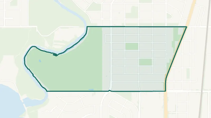 Map © OpenStreetMap contributorsEstablished
Windsor Park
- Built 1961–80
- 4,410 residents
- 1 school
A southwest Calgary community. The largest share of its homes, 37%, was built in 1961–80 (2021 Census). 4,410 residents lived here at the 2021 Census. 1 school is inside its boundary. See homes for sale in Windsor Park.
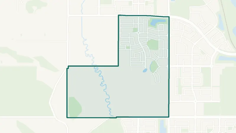 Map © OpenStreetMap contributorsIn development
Yorkville
- Built 2016–21
- 715 residents
- 0 schools
A southwest Calgary community. The largest share of its homes, 100%, was built in 2016–21 (2021 Census). The City lists it as still being built out. 715 residents lived here at the 2021 Census. There is no school inside its boundary. See homes for sale in Yorkville.
NWNorthwest Calgary communities 57
The northwest communities run from inner-city neighbourhoods such as Hillhurst, Sunnyside and Mount Pleasant to suburbs such as Tuscany, Royal Oak and Evanston. The CTrain Red Line runs northwest to Tuscany station. Arbour Lake is built around a private lake run by the Arbour Lake Residents Association.
Northwest Calgary homes for sale
Compare northwest communities by price and homes for sale now.
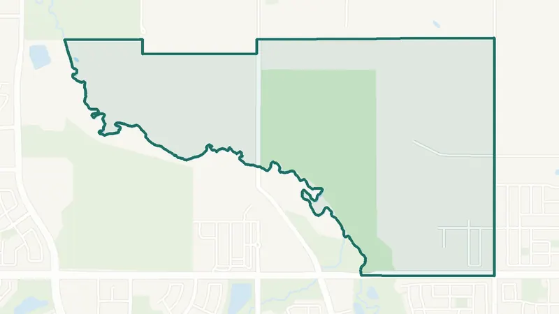 Map © OpenStreetMap contributorsIn development
Ambleridge
- Newer community
- New since 2021
- 0 schools
A northwest Calgary community. It is too new for a 2021 Census community profile. There is no school inside its boundary. See homes for sale in Ambleridge.
 Map © OpenStreetMap contributorsLake community
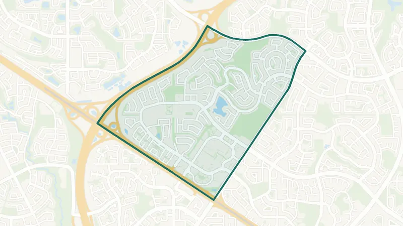
Arbour Lake
- Built 1991–2000
- 10,335 residents
- 3 schools
A northwest Calgary community. The largest share of its homes, 62%, was built in 1991–2000 (2021 Census). 10,335 residents lived here at the 2021 Census. 3 schools are inside its boundary. See homes for sale in Arbour Lake.
 Map © OpenStreetMap contributorsEstablished
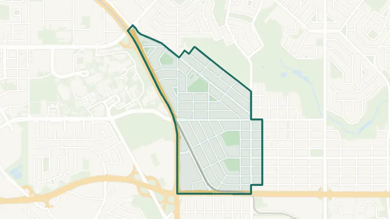
Banff Trail
- Built before 1961
- 3,805 residents
- CTrain station
A northwest Calgary community. The largest share of its homes, 37%, was built before 1961 (2021 Census). 3,805 residents lived here at the 2021 Census. Banff Trail Station and University Station are inside the community. 2 schools are inside its boundary. See homes for sale in Banff Trail.
 Map © OpenStreetMap contributorsEstablished
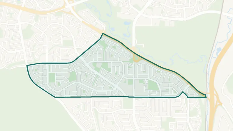
Beddington Heights
- Built 1961–80
- 11,295 residents
- 3 schools
A northwest Calgary community. The largest share of its homes, 58%, was built in 1961–80 (2021 Census). 11,295 residents lived here at the 2021 Census. 3 schools are inside its boundary. See homes for sale in Beddington Heights.
 Map © OpenStreetMap contributorsEstablished
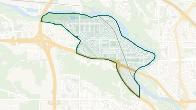
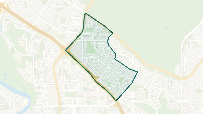
Bowness
- Built 1961–80
- 10,770 residents
- 10 schools
A northwest Calgary community. The largest share of its homes, 48%, was built in 1961–80 (2021 Census). 10,770 residents lived here at the 2021 Census. 10 schools are inside its boundary. See homes for sale in Bowness.
 Map © OpenStreetMap contributorsEstablished
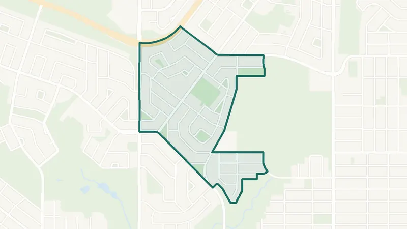
Brentwood
- Built 1961–80
- 7,410 residents
- CTrain station
A northwest Calgary community. The largest share of its homes, 58%, was built in 1961–80 (2021 Census). 7,410 residents lived here at the 2021 Census. Brentwood Station is inside the community. 7 schools are inside its boundary. See homes for sale in Brentwood.
 Map © OpenStreetMap contributorsEstablished
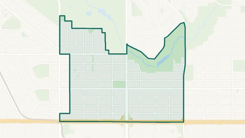
Cambrian Heights
- Built before 1961
- 2,000 residents
- 1 school
A northwest Calgary community. The largest share of its homes, 61%, was built before 1961 (2021 Census). 2,000 residents lived here at the 2021 Census. 1 school is inside its boundary. See homes for sale in Cambrian Heights.
 Map © OpenStreetMap contributorsEstablished
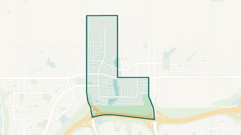
Capitol Hill
- Built before 1961
- 4,670 residents
- 2 schools
A northwest Calgary community. The largest share of its homes, 33%, was built before 1961 (2021 Census). 4,670 residents lived here at the 2021 Census. 2 schools are inside its boundary. See homes for sale in Capitol Hill.
 Map © OpenStreetMap contributorsIn development
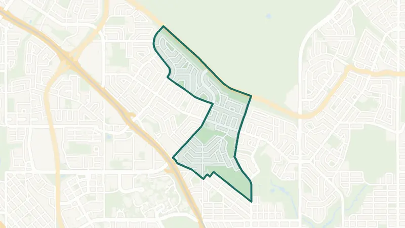
Carrington
- Built 2016–21
- 2,750 residents
- 0 schools
A northwest Calgary community. The largest share of its homes, 97%, was built in 2016–21 (2021 Census). The City lists it as still being built out. 2,750 residents lived here at the 2021 Census. There is no school inside its boundary. See homes for sale in Carrington.
 Map © OpenStreetMap contributorsEstablished
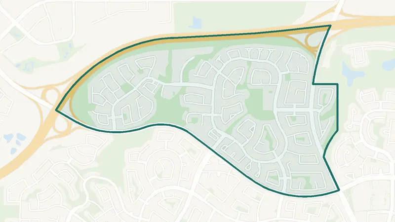
Charleswood
- Built 1961–80
- 3,595 residents
- 2 schools
A northwest Calgary community. The largest share of its homes, 67%, was built in 1961–80 (2021 Census). 3,595 residents lived here at the 2021 Census. 2 schools are inside its boundary. See homes for sale in Charleswood.
 Map © OpenStreetMap contributorsEstablished
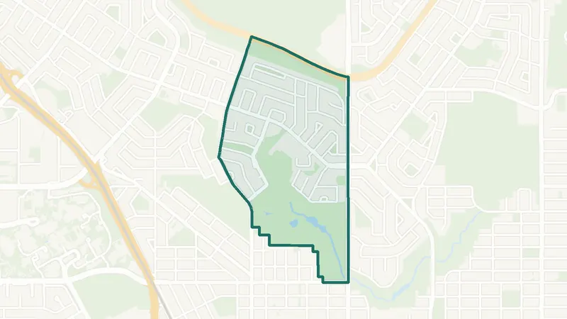
Citadel
- Built 1991–2000
- 10,180 residents
- 3 schools
A northwest Calgary community. The largest share of its homes, 62%, was built in 1991–2000 (2021 Census). 10,180 residents lived here at the 2021 Census. 3 schools are inside its boundary. See homes for sale in Citadel.
 Map © OpenStreetMap contributorsEstablished
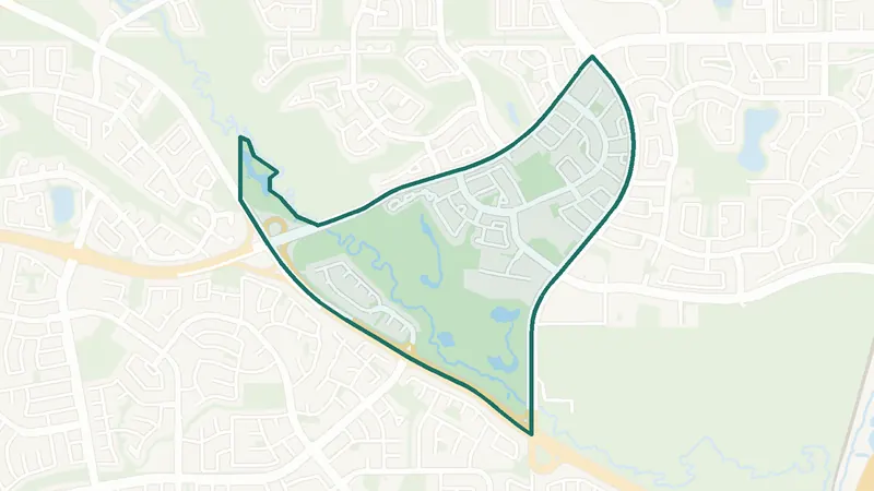
Collingwood
- Built 1961–80
- 2,290 residents
- 3 schools
A northwest Calgary community. The largest share of its homes, 46%, was built in 1961–80 (2021 Census). 2,290 residents lived here at the 2021 Census. 3 schools are inside its boundary. See homes for sale in Collingwood.
 Map © OpenStreetMap contributorsEstablished
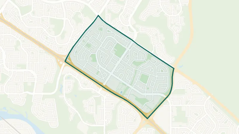
Country Hills
- Built 1991–2000
- 3,660 residents
- 0 schools
A northwest Calgary community. The largest share of its homes, 80%, was built in 1991–2000 (2021 Census). 3,660 residents lived here at the 2021 Census. There is no school inside its boundary. See homes for sale in Country Hills.
 Map © OpenStreetMap contributorsEstablished
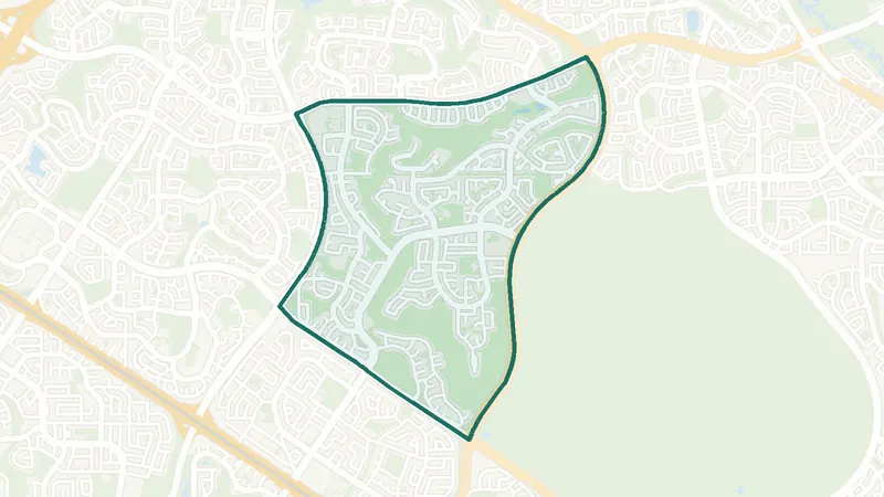
Dalhousie
- Built 1961–80
- 8,530 residents
- 4 schools
A northwest Calgary community. The largest share of its homes, 77%, was built in 1961–80 (2021 Census). 8,530 residents lived here at the 2021 Census. 4 schools are inside its boundary. See homes for sale in Dalhousie.
 Map © OpenStreetMap contributorsEstablished
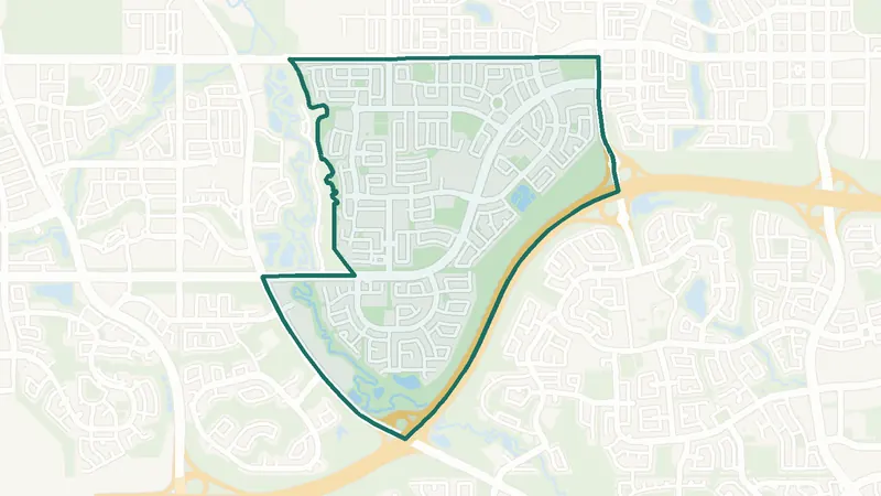
Edgemont
- Built 1981–90
- 15,255 residents
- 3 schools
A northwest Calgary community. The largest share of its homes, 46%, was built in 1981–90 (2021 Census). 15,255 residents lived here at the 2021 Census. 3 schools are inside its boundary. See homes for sale in Edgemont.
 Map © OpenStreetMap contributorsNewer community
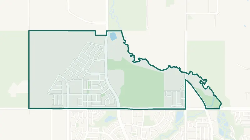
Evanston
- Built 2011–15
- 18,710 residents
- 3 schools
A northwest Calgary community. The largest share of its homes, 43%, was built in 2011–15 (2021 Census). 18,710 residents lived here at the 2021 Census. 3 schools are inside its boundary. See homes for sale in Evanston.
 Map © OpenStreetMap contributorsIn development
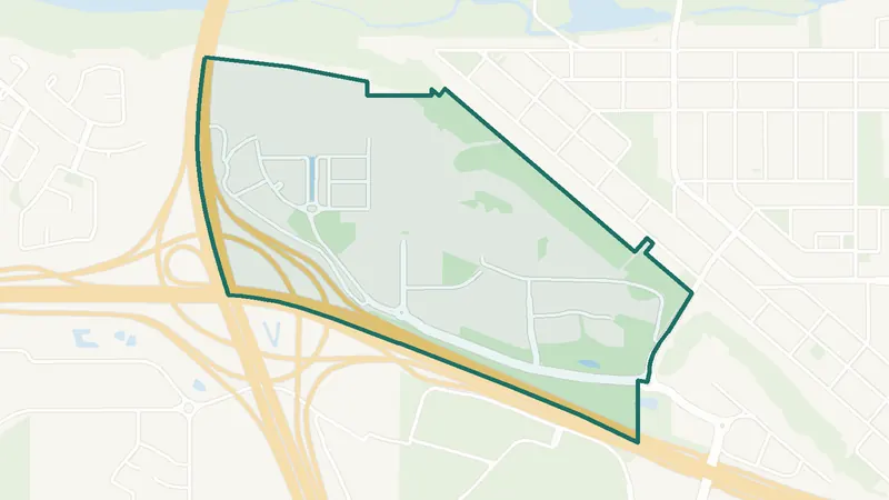
Glacier Ridge
- Newer community
- New since 2021
- 0 schools
A northwest Calgary community. It is too new for a 2021 Census community profile. There is no school inside its boundary. See homes for sale in Glacier Ridge.
 Map © OpenStreetMap contributorsEstablished
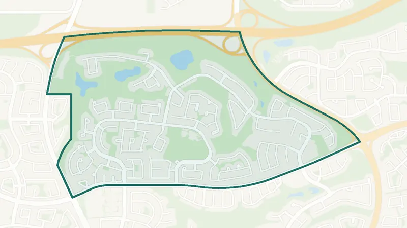
Greenwood/Greenbriar
- Built 1961–80
- 1,055 residents
- 0 schools
A northwest Calgary community. The largest share of its homes, 44%, was built in 1961–80 (2021 Census). 1,055 residents lived here at the 2021 Census. There is no school inside its boundary. See homes for sale in Greenwood/Greenbriar.
 Map © OpenStreetMap contributorsEstablished
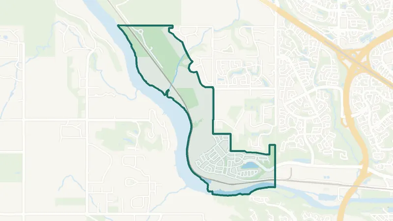
Hamptons
- Built 1991–2000
- 7,360 residents
- 1 school
A northwest Calgary community. The largest share of its homes, 72%, was built in 1991–2000 (2021 Census). 7,360 residents lived here at the 2021 Census. 1 school is inside its boundary. See homes for sale in Hamptons.
 Map © OpenStreetMap contributorsIn development
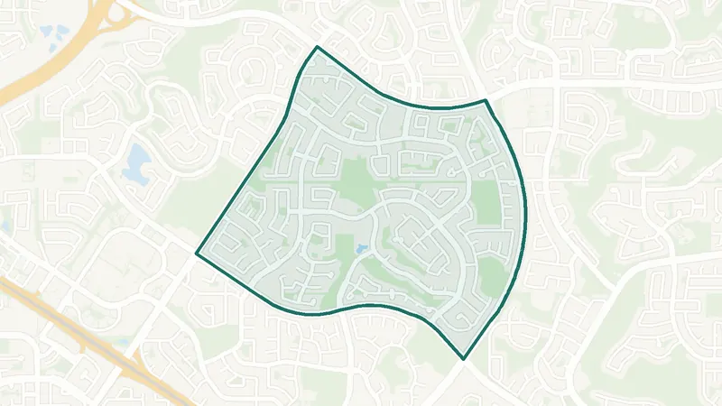
Haskayne
- Newer community
- New since 2021
- 0 schools
A northwest Calgary community. It is too new for a 2021 Census community profile. The City lists it as still being built out. There is no school inside its boundary. See homes for sale in Haskayne.
 Map © OpenStreetMap contributorsEstablished
Hawkwood
- Built 1981–90
- 9,115 residents
- 2 schools
A northwest Calgary community. The largest share of its homes, 63%, was built in 1981–90 (2021 Census). 9,115 residents lived here at the 2021 Census. 2 schools are inside its boundary. See homes for sale in Hawkwood.
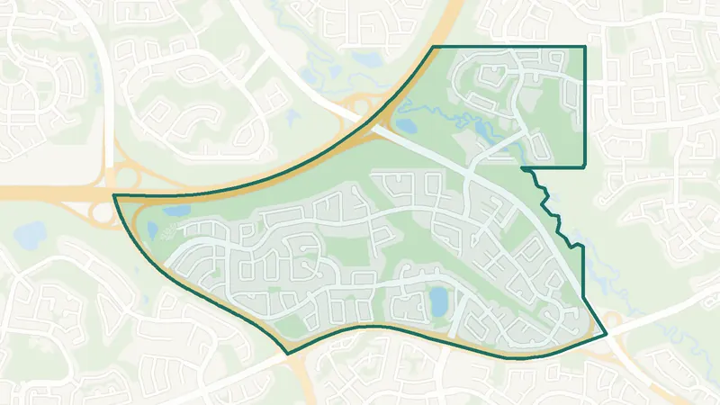
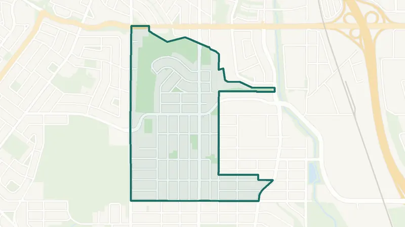 Map © OpenStreetMap contributorsEstablished
Highland Park
- Built before 1961
- 4,105 residents
- 3 schools
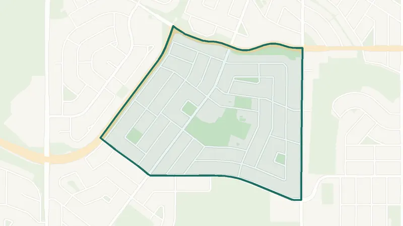
A northwest Calgary community. The largest share of its homes, 37%, was built before 1961 (2021 Census). 4,105 residents lived here at the 2021 Census. 3 schools are inside its boundary. See homes for sale in Highland Park.
 Map © OpenStreetMap contributorsEstablished
Highwood
- Built before 1961
- 2,205 residents
- 3 schools
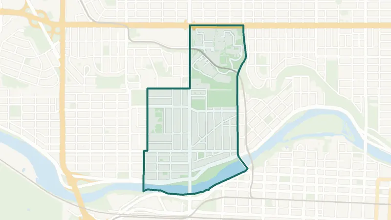
A northwest Calgary community. The largest share of its homes, 54%, was built before 1961 (2021 Census). 2,205 residents lived here at the 2021 Census. 3 schools are inside its boundary. See homes for sale in Highwood.
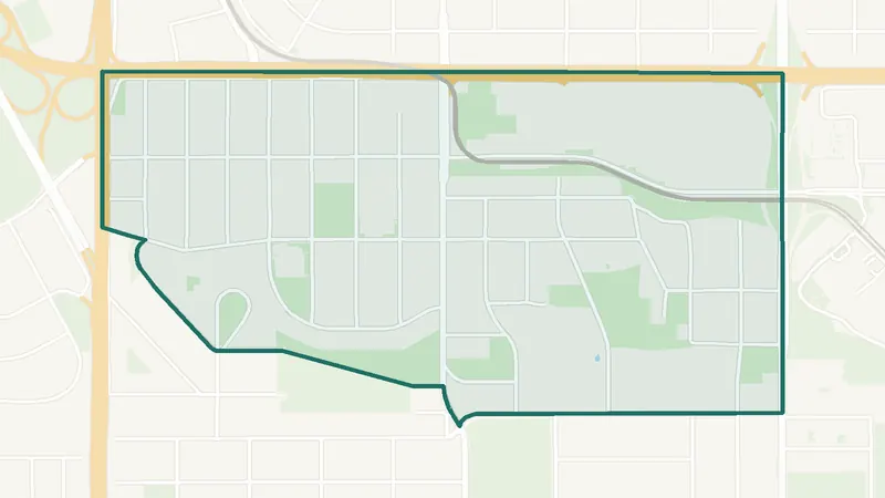
 Map © OpenStreetMap contributorsInner city
Hillhurst
- Built 1961–80
- 5,475 residents
- CTrain station
A northwest Calgary community. The largest share of its homes, 25%, was built in 1961–80 (2021 Census). 5,475 residents lived here at the 2021 Census. SAIT/ACAD/Jubilee Station is inside the community. 3 schools are inside its boundary. See homes for sale in Hillhurst.
 Map © OpenStreetMap contributorsEstablished
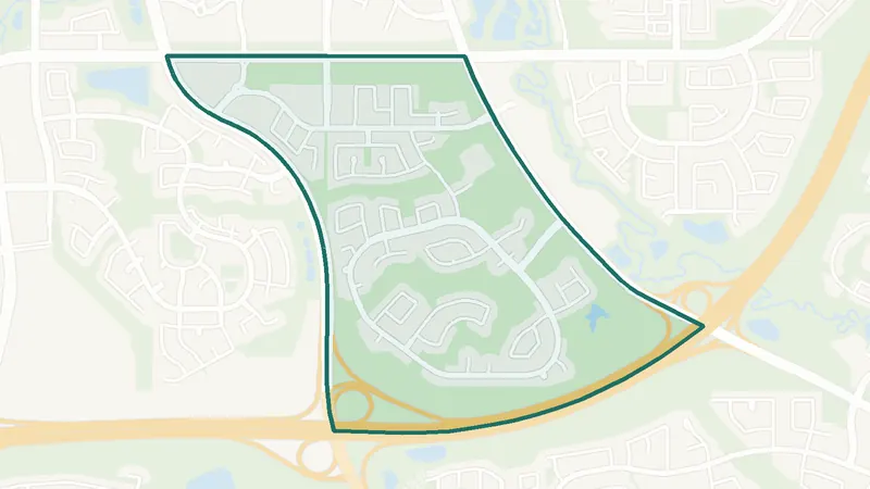
Hounsfield Heights/Briar Hill
- Built before 1961
- 2,470 residents
- CTrain station
A northwest Calgary community. The largest share of its homes, 33%, was built before 1961 (2021 Census). 2,470 residents lived here at the 2021 Census. Lions Park Station is inside the community. 2 schools are inside its boundary. See homes for sale in Hounsfield Heights/Briar Hill.
 Map © OpenStreetMap contributorsEstablished
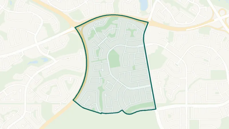
Kincora
- Built 2001–10
- 7,030 residents
- 0 schools
A northwest Calgary community. The largest share of its homes, 53%, was built in 2001–10 (2021 Census). 7,030 residents lived here at the 2021 Census. There is no school inside its boundary. See homes for sale in Kincora.
 Map © OpenStreetMap contributorsEstablished
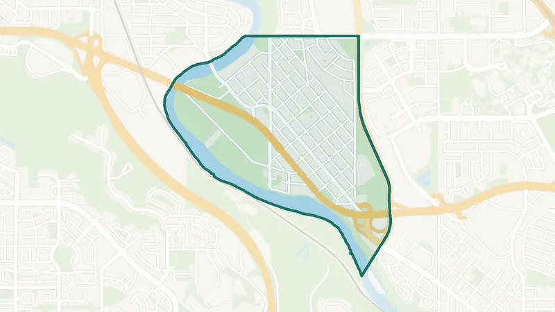
MacEwan Glen
- Built 1981–90
- 4,740 residents
- 0 schools
A northwest Calgary community. The largest share of its homes, 56%, was built in 1981–90 (2021 Census). 4,740 residents lived here at the 2021 Census. There is no school inside its boundary. See homes for sale in MacEwan Glen.
 Map © OpenStreetMap contributorsEstablished
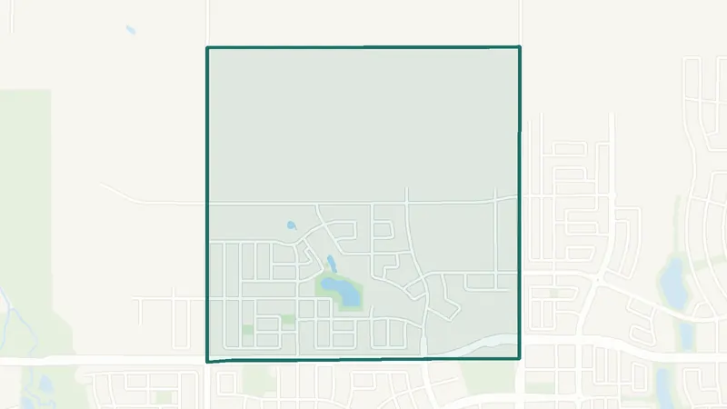
Montgomery
- Built 1961–80
- 4,175 residents
- 2 schools
A northwest Calgary community. The largest share of its homes, 29%, was built in 1961–80 (2021 Census). 4,175 residents lived here at the 2021 Census. 2 schools are inside its boundary. See homes for sale in Montgomery.
 Map © OpenStreetMap contributorsIn development
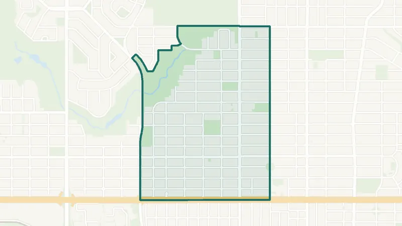
Moraine
- Newer community
- New since 2021
- 0 schools
A northwest Calgary community. It is too new for a 2021 Census community profile. The City lists it as still being built out. There is no school inside its boundary. See homes for sale in Moraine.
 Map © OpenStreetMap contributorsInner city
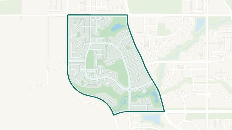
Mount Pleasant
- Built before 1961
- 6,325 residents
- 5 schools
A northwest Calgary community. The largest share of its homes, 37%, was built before 1961 (2021 Census). 6,325 residents lived here at the 2021 Census. 5 schools are inside its boundary. See homes for sale in Mount Pleasant.
 Map © OpenStreetMap contributorsNewer community
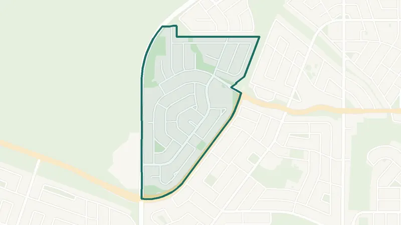
Nolan Hill
- Built 2016–21
- 8,755 residents
- 0 schools
A northwest Calgary community. The largest share of its homes, 52%, was built in 2016–21 (2021 Census). 8,755 residents lived here at the 2021 Census. There is no school inside its boundary. See homes for sale in Nolan Hill.
 Map © OpenStreetMap contributorsEstablished
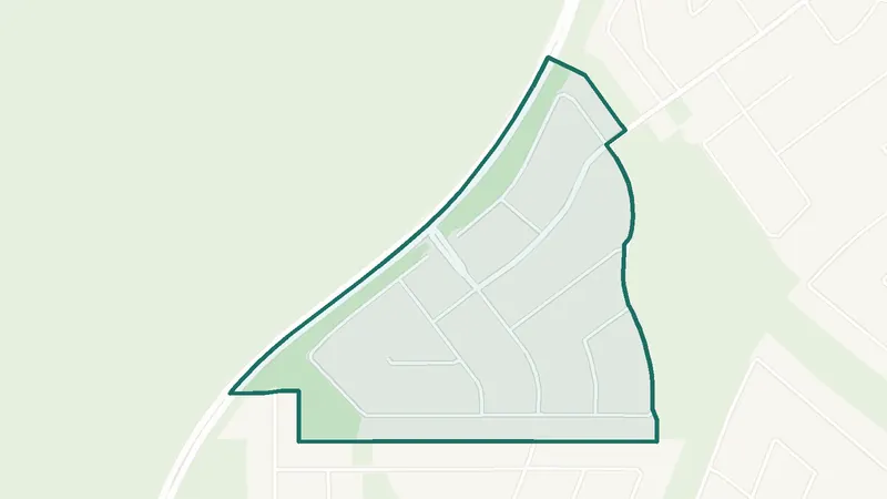
North Haven
- Built 1961–80
- 2,365 residents
- 1 school
A northwest Calgary community. The largest share of its homes, 78%, was built in 1961–80 (2021 Census). 2,365 residents lived here at the 2021 Census. 1 school is inside its boundary. See homes for sale in North Haven.
 Map © OpenStreetMap contributorsEstablished
No listings right now · Get new listings by email
North Haven Upper
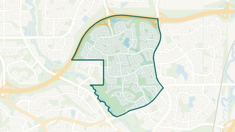
- Built 1961–80
- 640 residents
- 0 schools
A northwest Calgary community. The largest share of its homes, 92%, was built in 1961–80 (2021 Census). 640 residents lived here at the 2021 Census. There is no school inside its boundary. See homes for sale in North Haven Upper.
 Map © OpenStreetMap contributorsEstablished
Panorama Hills
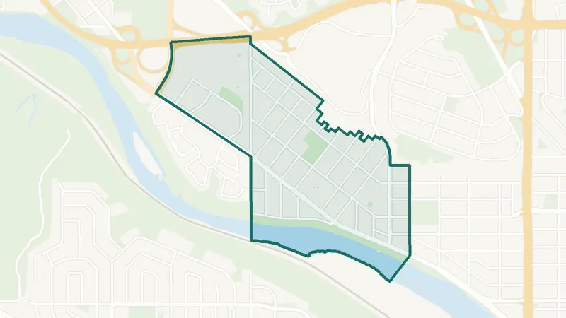
- Built 2001–10
- 25,535 residents
- 4 schools
A northwest Calgary community. The largest share of its homes, 65%, was built in 2001–10 (2021 Census). 25,535 residents lived here at the 2021 Census. 4 schools are inside its boundary. See homes for sale in Panorama Hills.
 Map © OpenStreetMap contributorsEstablished
Parkdale
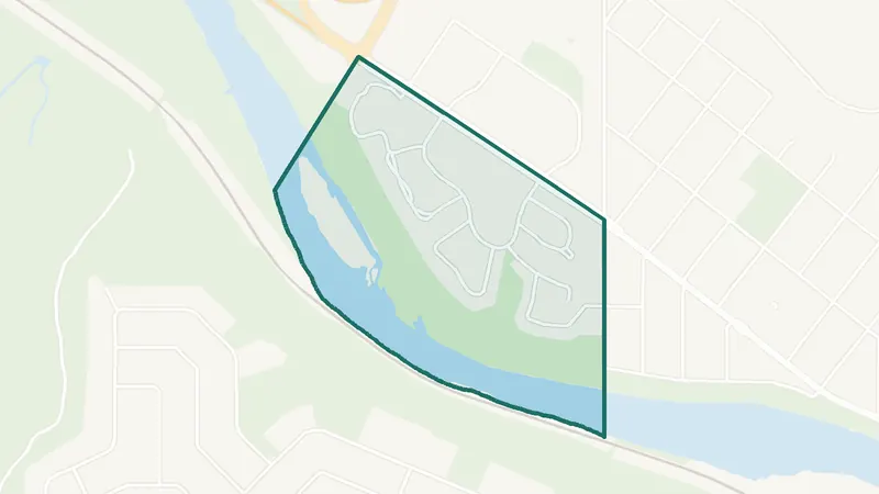
- Built before 1961
- 2,300 residents
- 2 schools
A northwest Calgary community. The largest share of its homes, 28%, was built before 1961 (2021 Census). 2,300 residents lived here at the 2021 Census. 2 schools are inside its boundary. See homes for sale in Parkdale.
 Map © OpenStreetMap contributorsEstablished
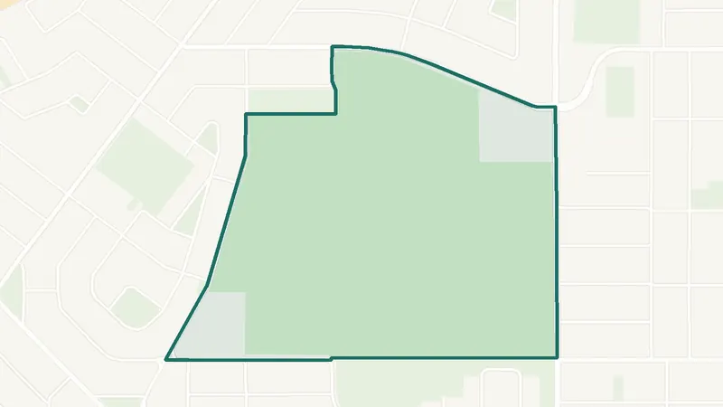
Point McKay
- Built 1961–80
- 1,330 residents
- 0 schools
A northwest Calgary community. The largest share of its homes, 67%, was built in 1961–80 (2021 Census). 1,330 residents lived here at the 2021 Census. There is no school inside its boundary. See homes for sale in Point McKay.
 Map © OpenStreetMap contributorsEstablished
No listings right now · Get new listings by email
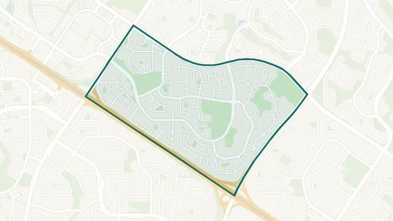
Queen's Park Village
- Built 1961–80
- 375 residents
- 0 schools
A northwest Calgary community. The largest share of its homes, 65%, was built in 1961–80 (2021 Census). 375 residents lived here at the 2021 Census. There is no school inside its boundary. See homes for sale in Queen's Park Village.
 Map © OpenStreetMap contributorsEstablished
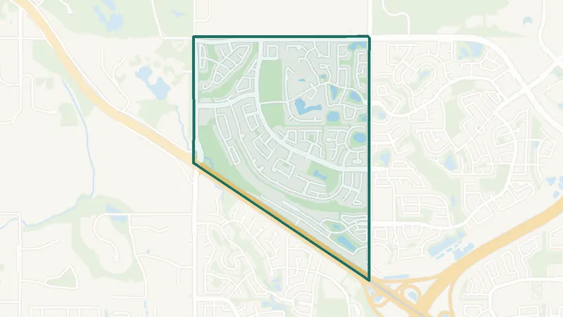
Ranchlands
- Built 1961–80
- 7,490 residents
- 3 schools
A northwest Calgary community. The largest share of its homes, 65%, was built in 1961–80 (2021 Census). 7,490 residents lived here at the 2021 Census. 3 schools are inside its boundary. See homes for sale in Ranchlands.
 Map © OpenStreetMap contributorsEstablished
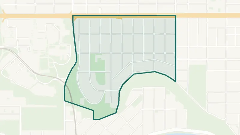
Rocky Ridge
- Built 2001–10
- 8,195 residents
- 1 school
A northwest Calgary community. The largest share of its homes, 54%, was built in 2001–10 (2021 Census). 8,195 residents lived here at the 2021 Census. 1 school is inside its boundary. See homes for sale in Rocky Ridge.
 Map © OpenStreetMap contributorsInner city
Rosedale
- Built before 1961
- 1,495 residents
- 1 school
A northwest Calgary community. The largest share of its homes, 63%, was built before 1961 (2021 Census). 1,495 residents lived here at the 2021 Census. 1 school is inside its boundary. See homes for sale in Rosedale.
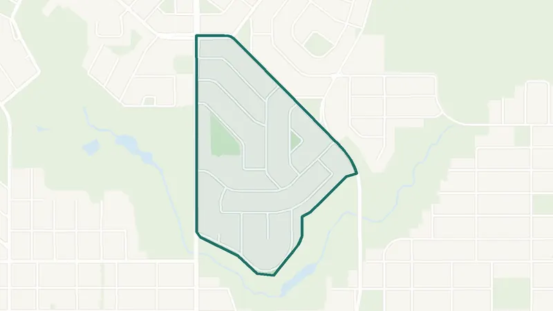 Map © OpenStreetMap contributorsEstablished
No listings right now · Get new listings by email
Rosemont
- Built before 1961
- 1,155 residents
- 1 school
A northwest Calgary community. The largest share of its homes, 61%, was built before 1961 (2021 Census). 1,155 residents lived here at the 2021 Census. 1 school is inside its boundary. See homes for sale in Rosemont.
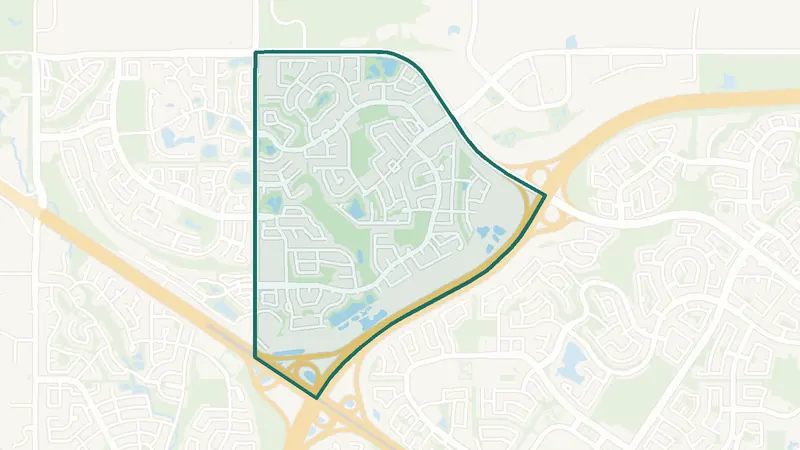 Map © OpenStreetMap contributorsEstablished
Royal Oak
- Built 2001–10
- 11,580 residents
- 3 schools
A northwest Calgary community. The largest share of its homes, 79%, was built in 2001–10 (2021 Census). 11,580 residents lived here at the 2021 Census. 3 schools are inside its boundary. See homes for sale in Royal Oak.
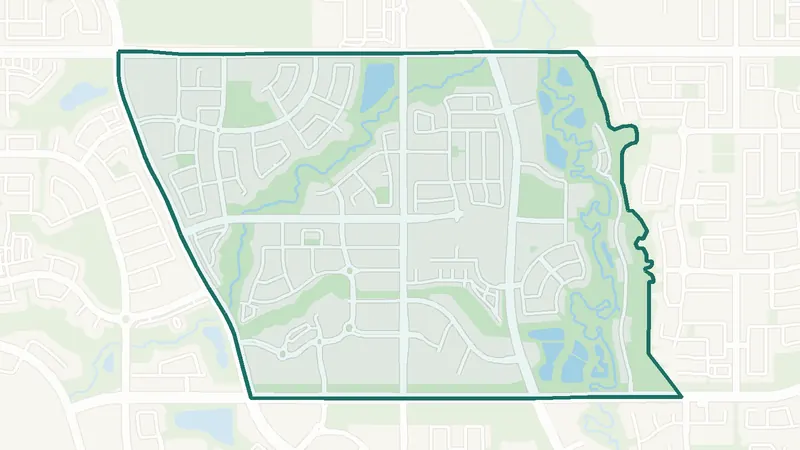 Map © OpenStreetMap contributorsNewer community
Sage Hill
- Built 2016–21
- 9,345 residents
- 0 schools
A northwest Calgary community. The largest share of its homes, 49%, was built in 2016–21 (2021 Census). The City lists it as still being built out. 9,345 residents lived here at the 2021 Census. There is no school inside its boundary. See homes for sale in Sage Hill.
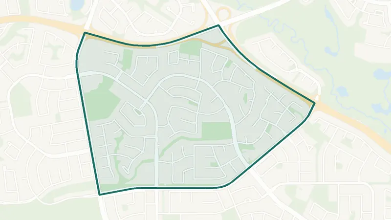 Map © OpenStreetMap contributorsEstablished
Sandstone Valley
- Built 1981–90
- 5,795 residents
- 2 schools
A northwest Calgary community. The largest share of its homes, 57%, was built in 1981–90 (2021 Census). 5,795 residents lived here at the 2021 Census. 2 schools are inside its boundary. See homes for sale in Sandstone Valley.
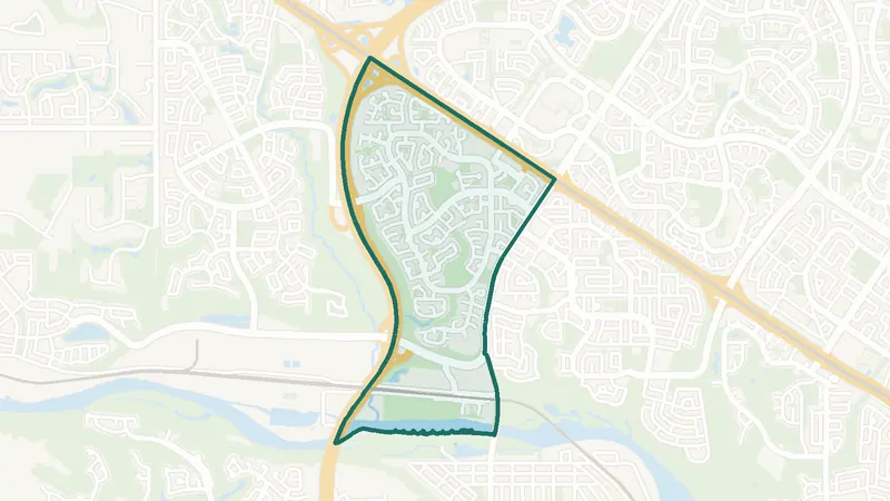 Map © OpenStreetMap contributorsEstablished
Scenic Acres
- Built 1991–2000
- 7,850 residents
- CTrain station
A northwest Calgary community. The largest share of its homes, 54%, was built in 1991–2000 (2021 Census). 7,850 residents lived here at the 2021 Census. Crowfoot Station is inside the community. 3 schools are inside its boundary. See homes for sale in Scenic Acres.
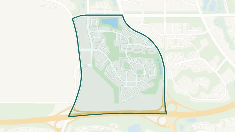 Map © OpenStreetMap contributorsNewer community
Sherwood
- Built 2001–10
- 6,520 residents
- 1 school
A northwest Calgary community. The largest share of its homes, 34%, was built in 2001–10 (2021 Census). 6,520 residents lived here at the 2021 Census. 1 school is inside its boundary. See homes for sale in Sherwood.
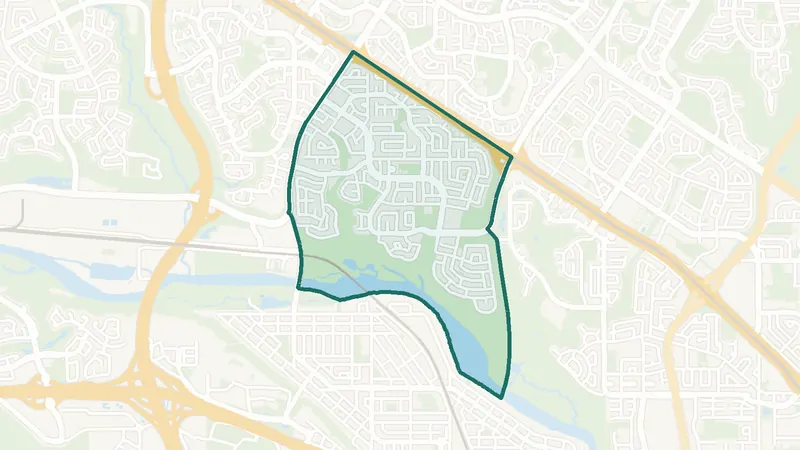 Map © OpenStreetMap contributorsEstablished
Silver Springs
- Built 1961–80
- 8,570 residents
- 3 schools
A northwest Calgary community. The largest share of its homes, 82%, was built in 1961–80 (2021 Census). 8,570 residents lived here at the 2021 Census. 3 schools are inside its boundary. See homes for sale in Silver Springs.
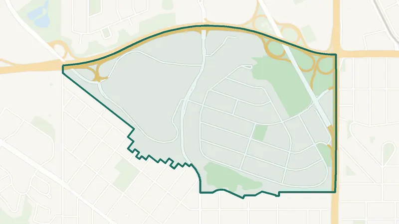 Map © OpenStreetMap contributorsEstablished
St. Andrews Heights
- Built before 1961
- 1,345 residents
- 2 schools
A northwest Calgary community. The largest share of its homes, 35%, was built before 1961 (2021 Census). 1,345 residents lived here at the 2021 Census. 2 schools are inside its boundary. See homes for sale in St. Andrews Heights.
 Map © OpenStreetMap contributorsInner city
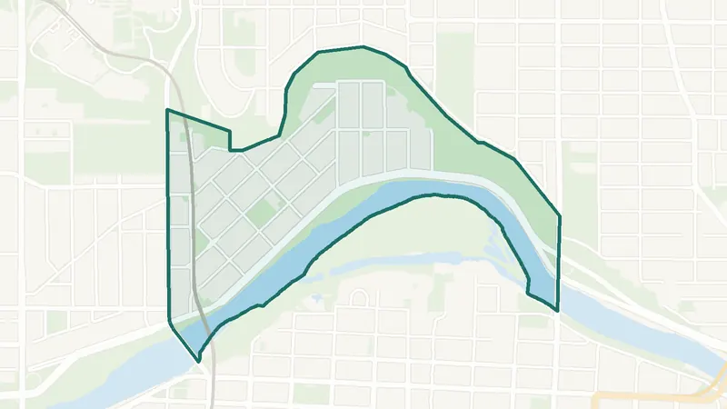
Sunnyside
- Built 1961–80
- 4,000 residents
- CTrain station
A northwest Calgary community. The largest share of its homes, 39%, was built in 1961–80 (2021 Census). 4,000 residents lived here at the 2021 Census. Sunnyside Station is inside the community. 1 school is inside its boundary. See homes for sale in Sunnyside.
 Map © OpenStreetMap contributorsIn development
No listings right now · Get new listings by email
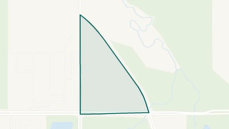
Symons Valley Ranch
- Newer community
- New since 2021
- 0 schools
A northwest Calgary community. It is too new for a 2021 Census community profile. There is no school inside its boundary. See homes for sale in Symons Valley Ranch.
 Map © OpenStreetMap contributorsEstablished
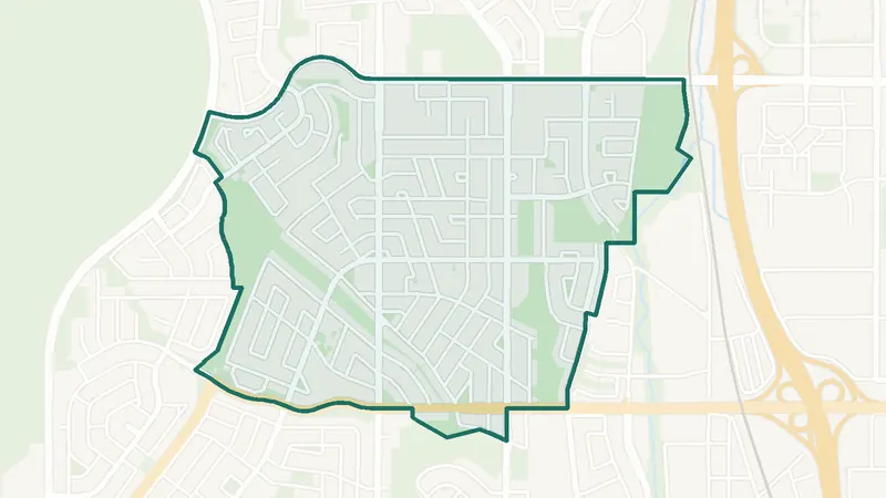
Thorncliffe
- Built 1961–80
- 8,695 residents
- 3 schools
A northwest Calgary community. The largest share of its homes, 57%, was built in 1961–80 (2021 Census). 8,695 residents lived here at the 2021 Census. 3 schools are inside its boundary. See homes for sale in Thorncliffe.
 Map © OpenStreetMap contributorsEstablished
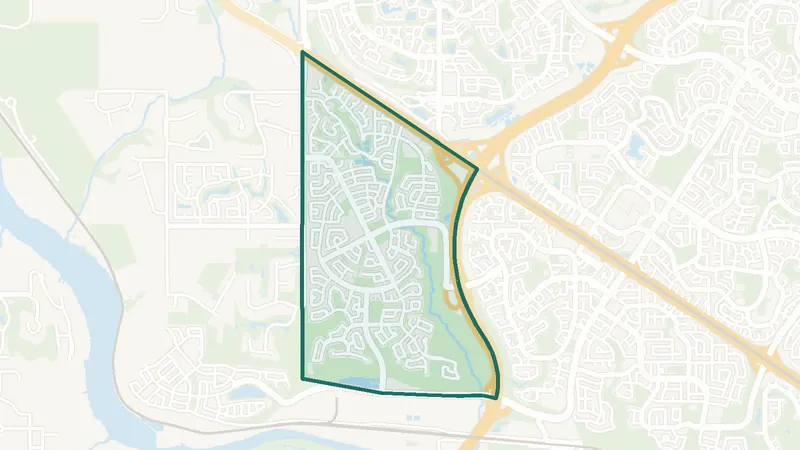
Tuscany
- Built 2001–10
- 19,700 residents
- CTrain station
A northwest Calgary community. The largest share of its homes, 64%, was built in 2001–10 (2021 Census). 19,700 residents lived here at the 2021 Census. Tuscany Station is inside the community. 4 schools are inside its boundary. See homes for sale in Tuscany.
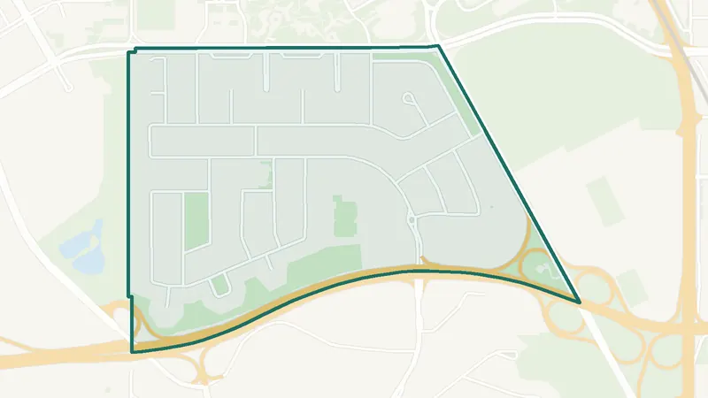 Map © OpenStreetMap contributorsEstablished
University Heights
- Built 1961–80
- 2,965 residents
- 2 schools
A northwest Calgary community. The largest share of its homes, 56%, was built in 1961–80 (2021 Census). 2,965 residents lived here at the 2021 Census. 2 schools are inside its boundary. See homes for sale in University Heights.
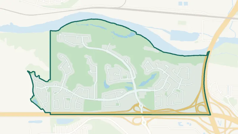 Map © OpenStreetMap contributorsEstablished
Valley Ridge
- Built 1991–2000
- 5,365 residents
- 0 schools
A northwest Calgary community. The largest share of its homes, 53%, was built in 1991–2000 (2021 Census). 5,365 residents lived here at the 2021 Census. There is no school inside its boundary. See homes for sale in Valley Ridge.
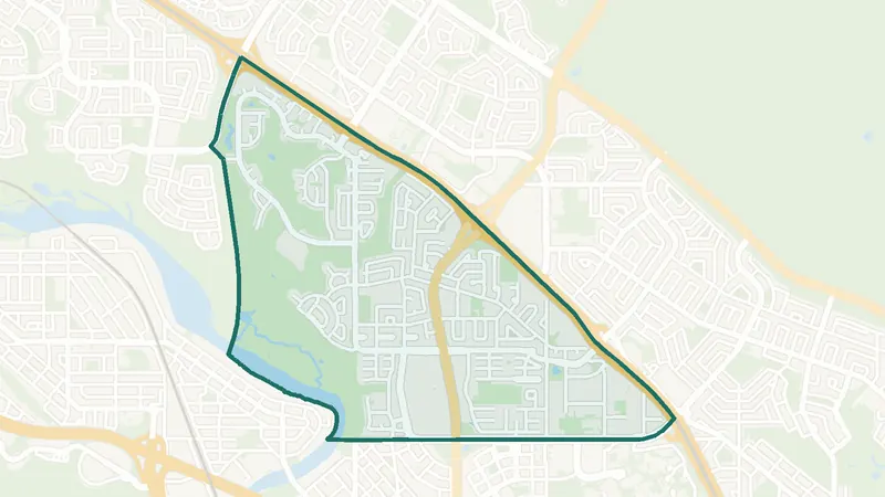 Map © OpenStreetMap contributorsEstablished
Varsity
- Built 1961–80
- 12,040 residents
- CTrain station
A northwest Calgary community. The largest share of its homes, 68%, was built in 1961–80 (2021 Census). 12,040 residents lived here at the 2021 Census. Dalhousie Station is inside the community. 9 schools are inside its boundary. See homes for sale in Varsity.
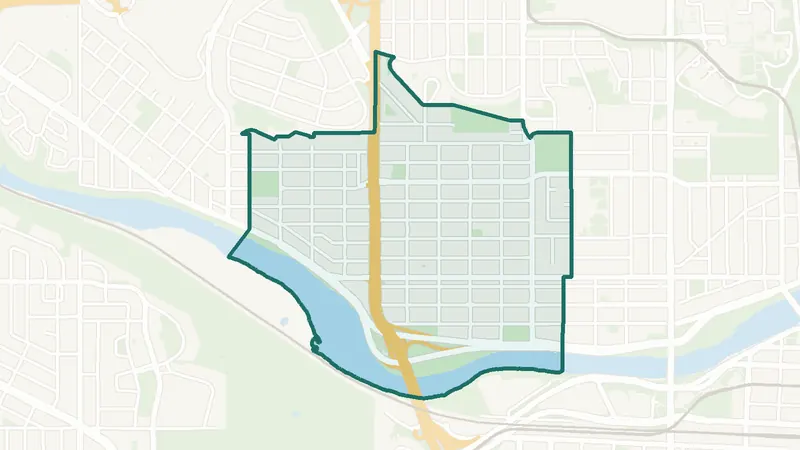 Map © OpenStreetMap contributorsInner city
West Hillhurst
- Built before 1961
- 6,635 residents
- 2 schools
A northwest Calgary community. The largest share of its homes, 27%, was built before 1961 (2021 Census). 6,635 residents lived here at the 2021 Census. 2 schools are inside its boundary. See homes for sale in West Hillhurst.
NENortheast Calgary communities 35
The northeast communities range from established areas close to the city centre, such as Bridgeland/Riverside, Renfrew and Crescent Heights, to newer ones such as Saddle Ridge, Skyview Ranch, Redstone and Cornerstone. The CTrain Blue Line runs northeast to Saddletowne station. Coral Springs is built around a private lake run by the Coral Springs Residents Association.
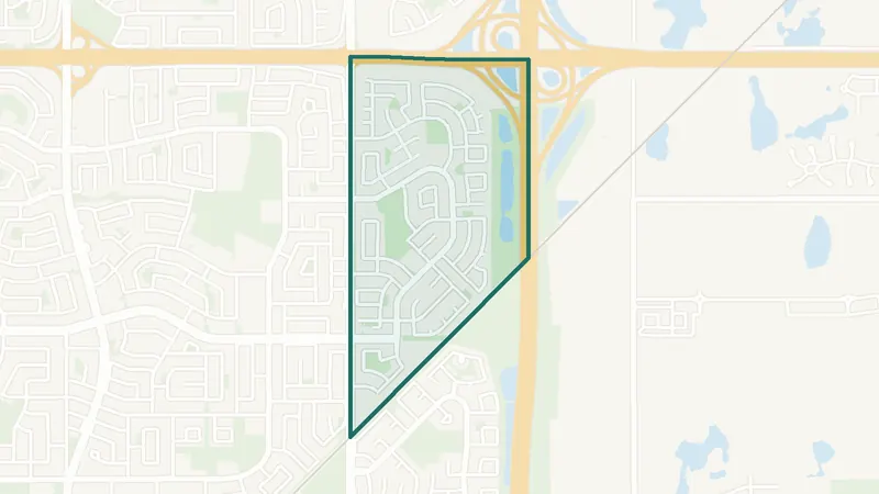 Map © OpenStreetMap contributorsEstablished
Abbeydale
- Built 1961–80
- 5,925 residents
- 3 schools
A northeast Calgary community. The largest share of its homes, 57%, was built in 1961–80 (2021 Census). 5,925 residents lived here at the 2021 Census. 3 schools are inside its boundary. See homes for sale in Abbeydale.
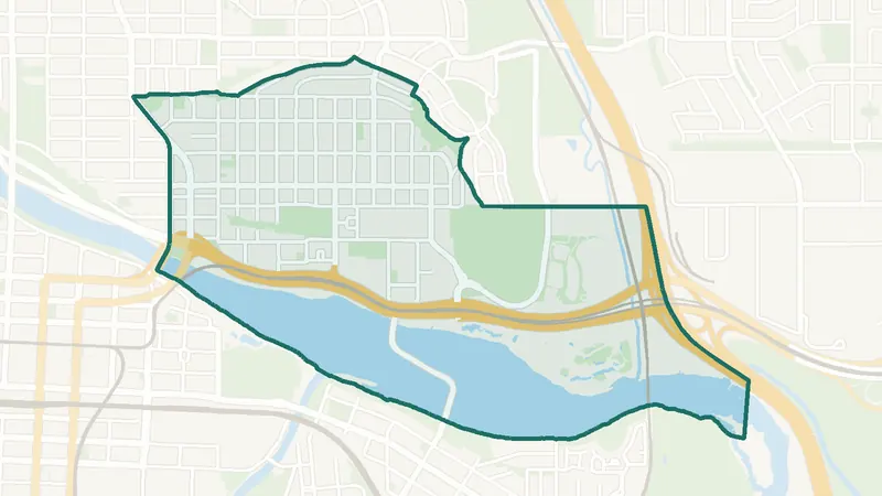 Map © OpenStreetMap contributorsInner city
Bridgeland/Riverside
- Built before 1961
- 6,350 residents
- CTrain station
A northeast Calgary community. The largest share of its homes, 21%, was built before 1961 (2021 Census). 6,350 residents lived here at the 2021 Census. Bridgeland Station and Zoo Station are inside the community. 3 schools are inside its boundary. See homes for sale in Bridgeland/Riverside.
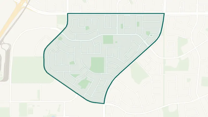 Map © OpenStreetMap contributorsEstablished
Castleridge
- Built 1981–90
- 6,130 residents
- 2 schools
A northeast Calgary community. The largest share of its homes, 60%, was built in 1981–90 (2021 Census). 6,130 residents lived here at the 2021 Census. 2 schools are inside its boundary. See homes for sale in Castleridge.
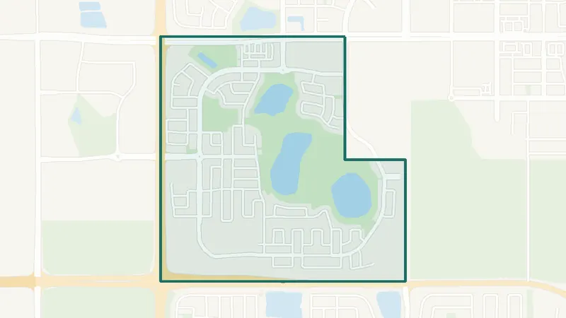 Map © OpenStreetMap contributorsIn development
Cityscape
- Built 2016–21
- 5,085 residents
- 0 schools
A northeast Calgary community. The largest share of its homes, 69%, was built in 2016–21 (2021 Census). The City lists it as still being built out. 5,085 residents lived here at the 2021 Census. There is no school inside its boundary. See homes for sale in Cityscape.
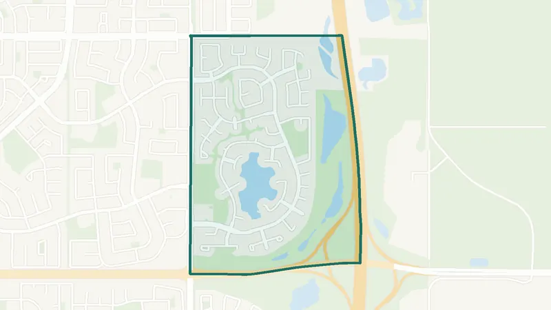 Map © OpenStreetMap contributorsLake community
Coral Springs
- Built 1991–2000
- 5,610 residents
- 1 school
A northeast Calgary community. The largest share of its homes, 73%, was built in 1991–2000 (2021 Census). 5,610 residents lived here at the 2021 Census. 1 school is inside its boundary. See homes for sale in Coral Springs.
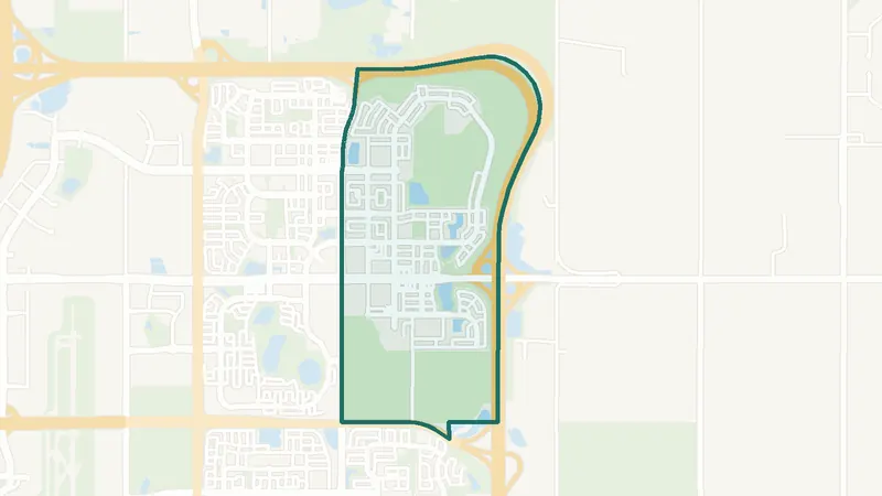 Map © OpenStreetMap contributorsIn development
Cornerstone
- Built 2016–21
- 6,190 residents
- 0 schools
A northeast Calgary community. The largest share of its homes, 94%, was built in 2016–21 (2021 Census). 6,190 residents lived here at the 2021 Census. There is no school inside its boundary. See homes for sale in Cornerstone.
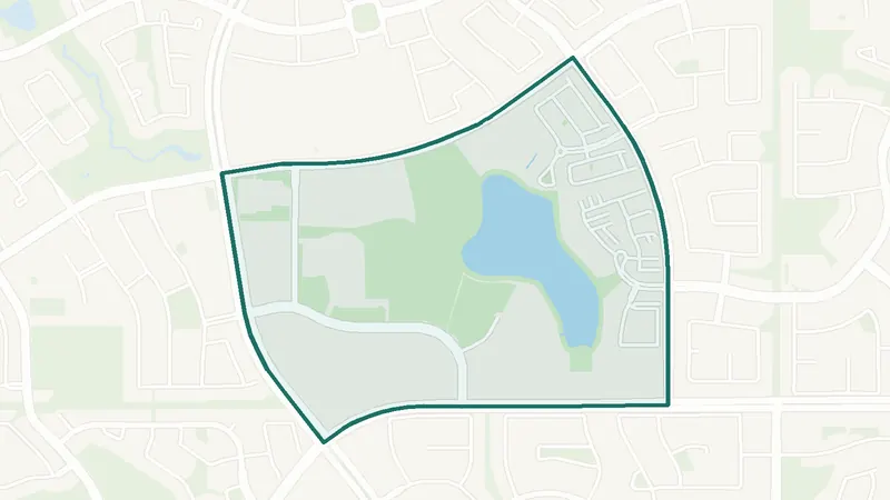 Map © OpenStreetMap contributorsEstablished
Country Hills Village
- Built 2001–10
- 2,480 residents
- 1 school
A northeast Calgary community. The largest share of its homes, 72%, was built in 2001–10 (2021 Census). 2,480 residents lived here at the 2021 Census. 1 school is inside its boundary. See homes for sale in Country Hills Village.
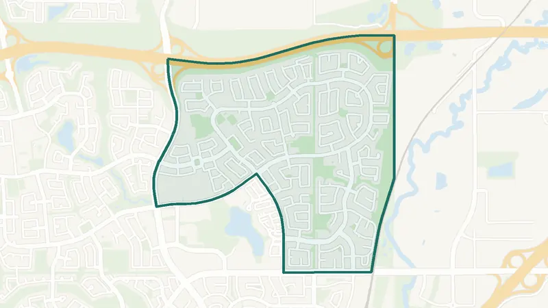 Map © OpenStreetMap contributorsEstablished
Coventry Hills
- Built 2001–10
- 17,350 residents
- 5 schools
A northeast Calgary community. The largest share of its homes, 51%, was built in 2001–10 (2021 Census). 17,350 residents lived here at the 2021 Census. 5 schools are inside its boundary. See homes for sale in Coventry Hills.
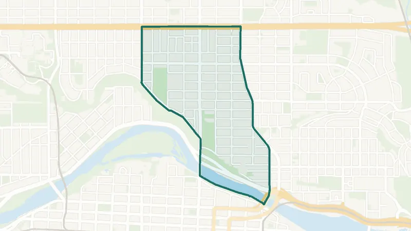 Map © OpenStreetMap contributorsInner city
Crescent Heights
- Built 1961–80
- 6,240 residents
- 2 schools
A northeast Calgary community. The largest share of its homes, 34%, was built in 1961–80 (2021 Census). 6,240 residents lived here at the 2021 Census. 2 schools are inside its boundary. See homes for sale in Crescent Heights.
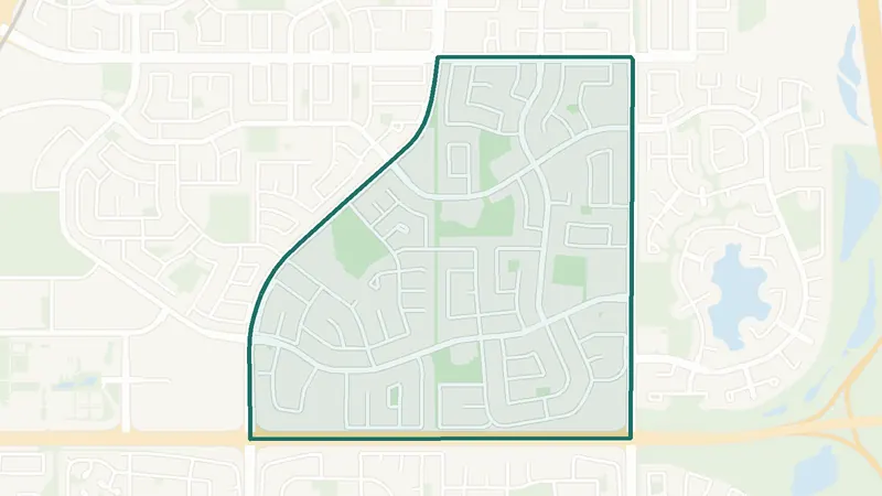 Map © OpenStreetMap contributorsEstablished
Falconridge
- Built 1981–90
- 10,325 residents
- 6 schools
A northeast Calgary community. The largest share of its homes, 43%, was built in 1981–90 (2021 Census). 10,325 residents lived here at the 2021 Census. 6 schools are inside its boundary. See homes for sale in Falconridge.
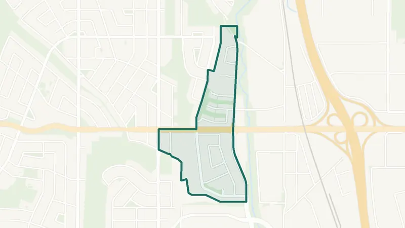 Map © OpenStreetMap contributorsEstablished
Greenview
- Built 1961–80
- 2,100 residents
- 1 school
A northeast Calgary community. The largest share of its homes, 48%, was built in 1961–80 (2021 Census). 2,100 residents lived here at the 2021 Census. 1 school is inside its boundary. See homes for sale in Greenview.
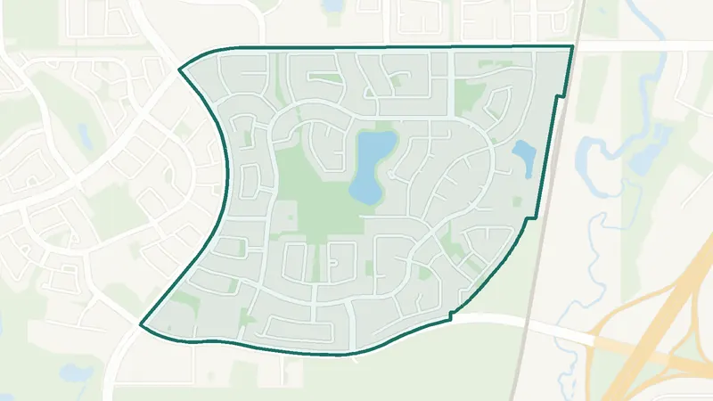 Map © OpenStreetMap contributorsEstablished
Harvest Hills
- Built 1991–2000
- 7,805 residents
- 1 school
A northeast Calgary community. The largest share of its homes, 72%, was built in 1991–2000 (2021 Census). 7,805 residents lived here at the 2021 Census. 1 school is inside its boundary. See homes for sale in Harvest Hills.
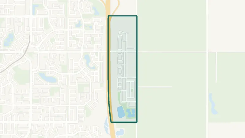 Map © OpenStreetMap contributorsIn development
Homestead
- Newer community
- New since 2021
- 0 schools
A northeast Calgary community. It is too new for a 2021 Census community profile. The City lists it as still being built out. There is no school inside its boundary. See homes for sale in Homestead.
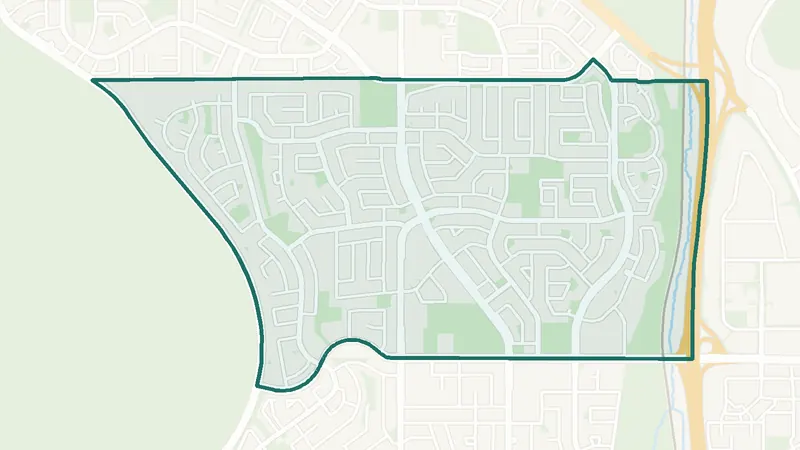 Map © OpenStreetMap contributorsEstablished
Huntington Hills
- Built 1961–80
- 13,120 residents
- 10 schools
A northeast Calgary community. The largest share of its homes, 78%, was built in 1961–80 (2021 Census). 13,120 residents lived here at the 2021 Census. 10 schools are inside its boundary. See homes for sale in Huntington Hills.
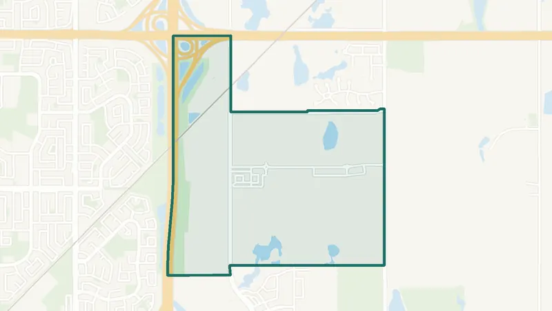 Map © OpenStreetMap contributorsIn development
Huxley
- Newer community
- New since 2021
- 0 schools
A northeast Calgary community. It is too new for a 2021 Census community profile. There is no school inside its boundary. See homes for sale in Huxley.
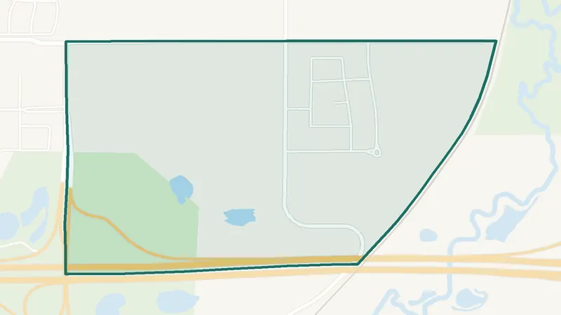 Map © OpenStreetMap contributorsIn development
Keystone Hills
- Newer community
- New since 2021
- 0 schools
A northeast Calgary community. It is too new for a 2021 Census community profile. The City lists it as still being built out. There is no school inside its boundary. See homes for sale in Keystone Hills.
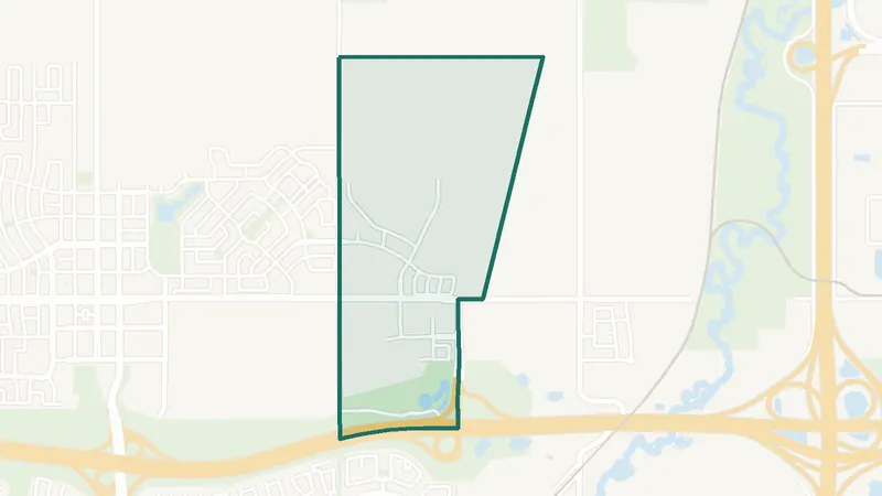 Map © OpenStreetMap contributorsIn development
Lewisburg
- Newer community
- New since 2021
- 0 schools
A northeast Calgary community. It is too new for a 2021 Census community profile. The City lists it as still being built out. There is no school inside its boundary. See homes for sale in Lewisburg.
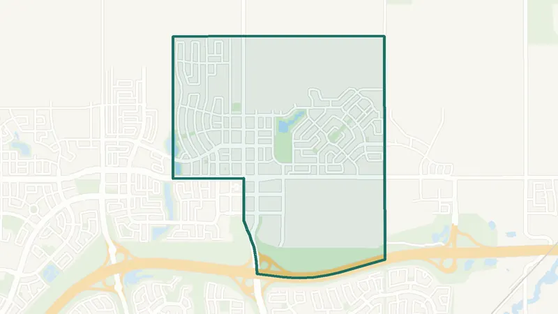 Map © OpenStreetMap contributorsIn development
Livingston
- Built 2016–21
- 3,985 residents
- 0 schools
A northeast Calgary community. The largest share of its homes, 97%, was built in 2016–21 (2021 Census). The City lists it as still being built out. 3,985 residents lived here at the 2021 Census. There is no school inside its boundary. See homes for sale in Livingston.
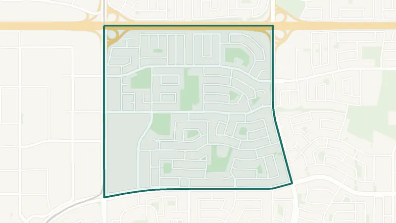 Map © OpenStreetMap contributorsEstablished
Marlborough
- Built 1961–80
- 8,910 residents
- 4 schools
A northeast Calgary community. The largest share of its homes, 76%, was built in 1961–80 (2021 Census). 8,910 residents lived here at the 2021 Census. 4 schools are inside its boundary. See homes for sale in Marlborough.
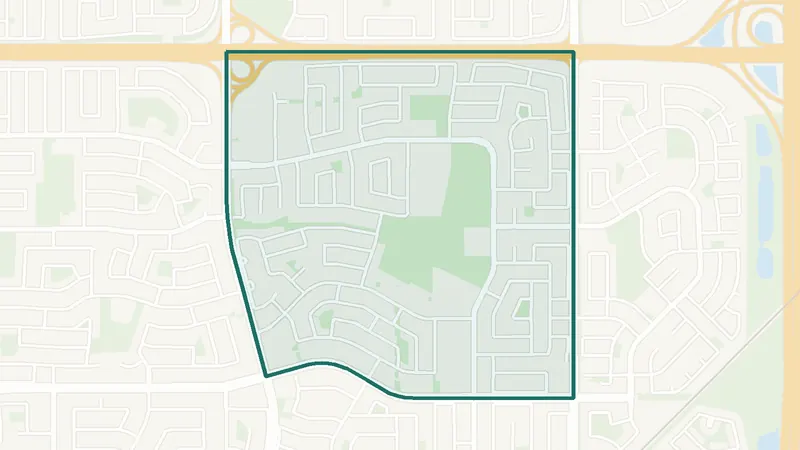 Map © OpenStreetMap contributorsEstablished
Marlborough Park
- Built 1961–80
- 8,290 residents
- 4 schools
A northeast Calgary community. The largest share of its homes, 84%, was built in 1961–80 (2021 Census). 8,290 residents lived here at the 2021 Census. 4 schools are inside its boundary. See homes for sale in Marlborough Park.
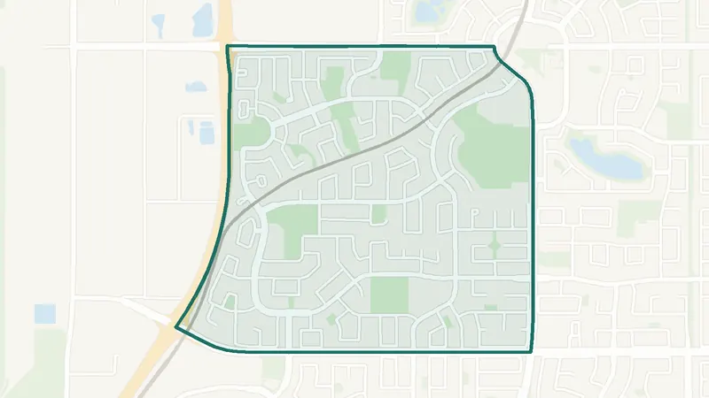 Map © OpenStreetMap contributorsEstablished
Martindale
- Built 1991–2000
- 14,540 residents
- CTrain station
A northeast Calgary community. The largest share of its homes, 43%, was built in 1991–2000 (2021 Census). 14,540 residents lived here at the 2021 Census. Martindale Station is inside the community. 5 schools are inside its boundary. See homes for sale in Martindale.
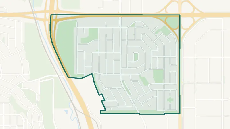 Map © OpenStreetMap contributorsEstablished
Mayland Heights
- Built 1961–80
- 5,925 residents
- 4 schools
A northeast Calgary community. The largest share of its homes, 61%, was built in 1961–80 (2021 Census). 5,925 residents lived here at the 2021 Census. 4 schools are inside its boundary. See homes for sale in Mayland Heights.
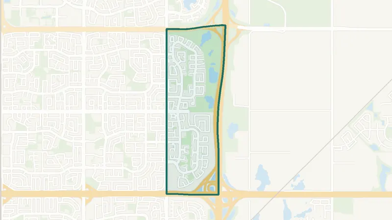 Map © OpenStreetMap contributorsEstablished
Monterey Park
- Built 1991–2000
- 10,475 residents
- 1 school
A northeast Calgary community. The largest share of its homes, 62%, was built in 1991–2000 (2021 Census). 10,475 residents lived here at the 2021 Census. 1 school is inside its boundary. See homes for sale in Monterey Park.
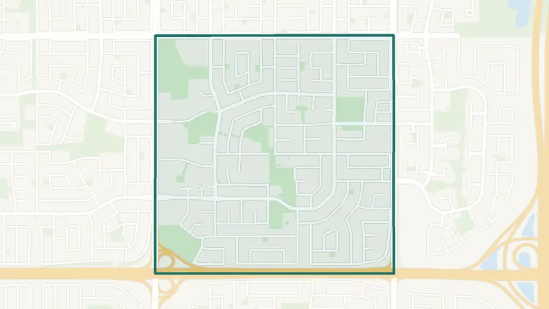 Map © OpenStreetMap contributorsEstablished
Pineridge
- Built 1961–80
- 9,850 residents
- 6 schools
A northeast Calgary community. The largest share of its homes, 72%, was built in 1961–80 (2021 Census). 9,850 residents lived here at the 2021 Census. 6 schools are inside its boundary. See homes for sale in Pineridge.
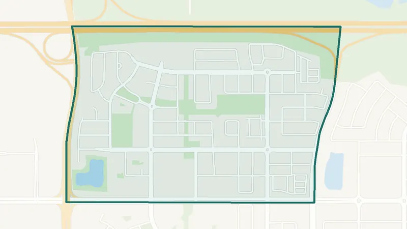 Map © OpenStreetMap contributorsIn development
Redstone
- Built 2016–21
- 9,050 residents
- 0 schools
A northeast Calgary community. The largest share of its homes, 70%, was built in 2016–21 (2021 Census). 9,050 residents lived here at the 2021 Census. There is no school inside its boundary. See homes for sale in Redstone.
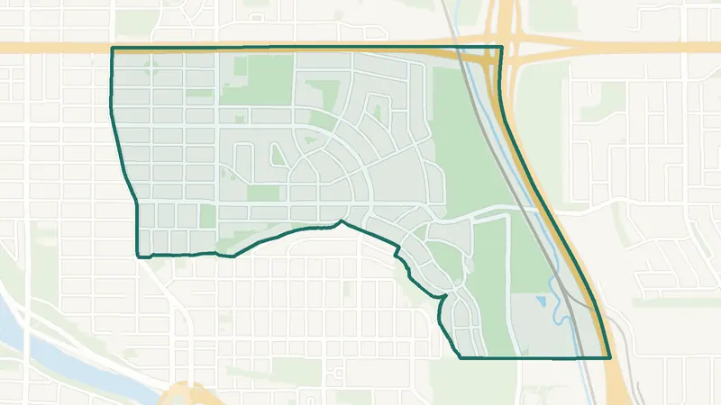 Map © OpenStreetMap contributorsInner city
Renfrew
- Built before 1961
- 6,580 residents
- 4 schools
A northeast Calgary community. The largest share of its homes, 37%, was built before 1961 (2021 Census). 6,580 residents lived here at the 2021 Census. 4 schools are inside its boundary. See homes for sale in Renfrew.
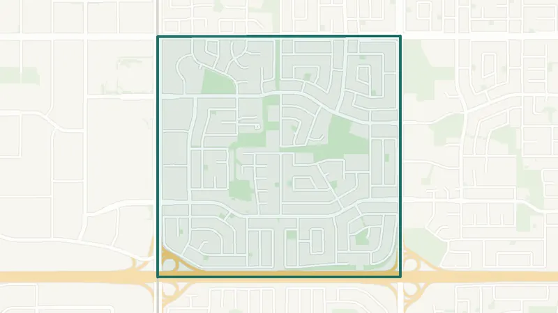 Map © OpenStreetMap contributorsEstablished
Rundle
- Built 1961–80
- 10,545 residents
- 5 schools
A northeast Calgary community. The largest share of its homes, 74%, was built in 1961–80 (2021 Census). 10,545 residents lived here at the 2021 Census. 5 schools are inside its boundary. See homes for sale in Rundle.
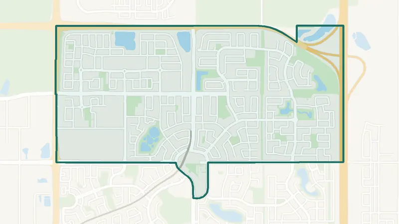 Map © OpenStreetMap contributorsEstablished
Saddle Ridge
- Built 2001–10
- 24,365 residents
- CTrain station
A northeast Calgary community. The largest share of its homes, 50%, was built in 2001–10 (2021 Census). 24,365 residents lived here at the 2021 Census. Saddletowne Station is inside the community. 7 schools are inside its boundary. See homes for sale in Saddle Ridge.
 Map © OpenStreetMap contributorsNewer community
Skyview Ranch
- Built 2011–15
- 12,870 residents
- 2 schools
A northeast Calgary community. The largest share of its homes, 48%, was built in 2011–15 (2021 Census). 12,870 residents lived here at the 2021 Census. 2 schools are inside its boundary. See homes for sale in Skyview Ranch.
 Map © OpenStreetMap contributorsEstablished
Taradale
- Built 2001–10
- 17,630 residents
- 3 schools
A northeast Calgary community. The largest share of its homes, 68%, was built in 2001–10 (2021 Census). 17,630 residents lived here at the 2021 Census. 3 schools are inside its boundary. See homes for sale in Taradale.
 Map © OpenStreetMap contributorsEstablished
Temple
- Built 1961–80
- 10,525 residents
- 4 schools
A northeast Calgary community. The largest share of its homes, 67%, was built in 1961–80 (2021 Census). 10,525 residents lived here at the 2021 Census. 4 schools are inside its boundary. See homes for sale in Temple.
 Map © OpenStreetMap contributorsInner city
Tuxedo Park
- Built before 1961
- 5,165 residents
- 2 schools
A northeast Calgary community. The largest share of its homes, 25%, was built before 1961 (2021 Census). 5,165 residents lived here at the 2021 Census. 2 schools are inside its boundary. See homes for sale in Tuxedo Park.
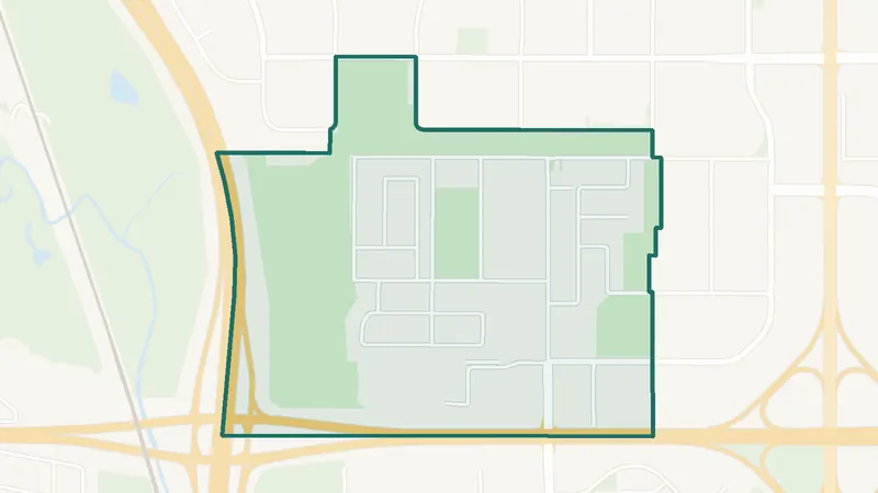 Map © OpenStreetMap contributorsEstablished
Vista Heights
- Built 1961–80
- 2,300 residents
- 1 school
A northeast Calgary community. The largest share of its homes, 53%, was built in 1961–80 (2021 Census). 2,300 residents lived here at the 2021 Census. 1 school is inside its boundary. See homes for sale in Vista Heights.
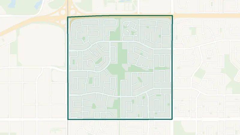 Map © OpenStreetMap contributorsEstablished
Whitehorn
- Built 1961–80
- 11,085 residents
- 4 schools
A northeast Calgary community. The largest share of its homes, 63%, was built in 1961–80 (2021 Census). 11,085 residents lived here at the 2021 Census. 4 schools are inside its boundary. See homes for sale in Whitehorn.
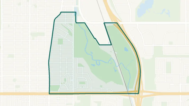 Map © OpenStreetMap contributorsEstablished
Winston Heights/Mountview
- Built before 1961
- 3,605 residents
- 2 schools
A northeast Calgary community. The largest share of its homes, 37%, was built before 1961 (2021 Census). 3,605 residents lived here at the 2021 Census. 2 schools are inside its boundary. See homes for sale in Winston Heights/Mountview.
Outside Calgary · 9
Surrounding towns
The city of Airdrie, seven towns and the hamlet of Langdon around Calgary. Each has its own local government and school divisions. Distances are straight-line from Calgary City Hall.
Homes for sale in towns near Calgary
Compare towns near Calgary by price and homes for sale now.
 Map © OpenStreetMap contributorsNear Calgary
City
Airdrie
- 27 km north
- 74,100 residents
- +20.3% since 2016
A city about 27 km north of Calgary City Hall (straight line). Population 74,100 at the 2021 Census, up 20.3% from 2016 (Statistics Canada). See homes for sale in Airdrie.
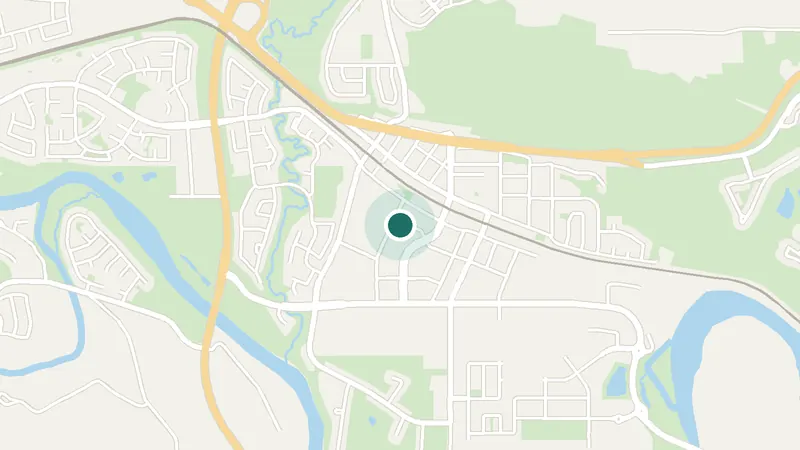 Map © OpenStreetMap contributorsNear Calgary
Town
Cochrane
- 33 km northwest
- 32,199 residents
- +24.5% since 2016
A town about 33 km northwest of Calgary City Hall (straight line). Population 32,199 at the 2021 Census, up 24.5% from 2016 (Statistics Canada). See homes for sale in Cochrane.
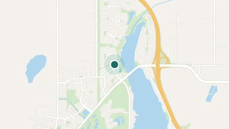 Map © OpenStreetMap contributorsNear Calgary
Town
Chestermere
- 16 km east
- 22,163 residents
- +11.4% since 2016
A town about 16 km east of Calgary City Hall (straight line). Population 22,163 at the 2021 Census, up 11.4% from 2016 (Statistics Canada). See homes for sale in Chestermere.
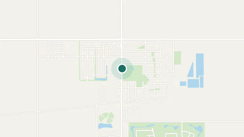 Map © OpenStreetMap contributorsNear Calgary
Hamlet, Rocky View County
Langdon
- 28 km east
- 5,497 residents
- +3.6% since 2016
A hamlet in Rocky View County, about 28 km east of Calgary City Hall (straight line). Population 5,497 at the 2021 Census, up 3.6% from 2016 (Statistics Canada). See homes for sale in Langdon.
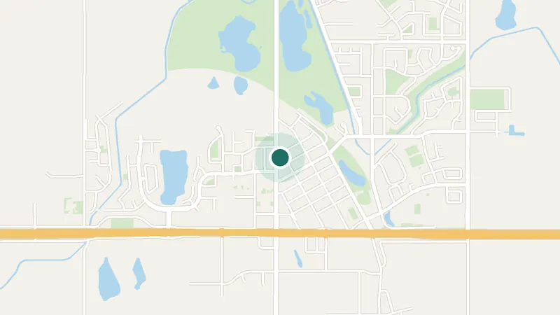 Map © OpenStreetMap contributorsNear Calgary
Town
Strathmore
- 46 km east
- 14,339 residents
- +4.2% since 2016
A town about 46 km east of Calgary City Hall (straight line). Population 14,339 at the 2021 Census, up 4.2% from 2016 (Statistics Canada). See homes for sale in Strathmore.
 Map © OpenStreetMap contributorsNear Calgary
Town
Okotoks
- 36 km south
- 30,405 residents
- +4.8% since 2016
A town about 36 km south of Calgary City Hall (straight line). Population 30,405 at the 2021 Census, up 4.8% from 2016 (Statistics Canada). See homes for sale in Okotoks.
 Map © OpenStreetMap contributorsNear Calgary
Town (Black Diamond + Turner Valley)
Diamond Valley
- 43 km south
- 5,341 residents
- +1.5% since 2016
A town about 43 km south of Calgary City Hall (straight line). Population 5,341 at the 2021 Census, up 1.5% from 2016 (Statistics Canada). Black Diamond and Turner Valley amalgamated as the Town of Diamond Valley in 2023; the census figure adds the two. See homes for sale in Diamond Valley.
 Map © OpenStreetMap contributorsNear Calgary
Town
High River
- 53 km south
- 14,324 residents
- +5.4% since 2016
A town about 53 km south of Calgary City Hall (straight line). Population 14,324 at the 2021 Census, up 5.4% from 2016 (Statistics Canada). See homes for sale in High River.
 Map © OpenStreetMap contributorsNear Calgary
Town
Canmore
- 91 km west
- 15,990 residents
- +14.3% since 2016
A town about 91 km west of Calgary City Hall (straight line). Population 15,990 at the 2021 Census, up 14.3% from 2016 (Statistics Canada). See homes for sale in Canmore.
Sources for the short cards: City of Calgary Open Data, community district boundaries and community structure (surr-xmvs), 2021 Federal Census population by community (f9wk-wej9); City of Calgary Community Profiles, 2021 Census (dwellings by period of construction), school locations (fd9t-tdn2), LRT stations (2axz-xm4q), transit stops by route (pm3p-838w); Statistics Canada, 2021 Census of Population, Census Profile (population 2021 and 2016); OpenStreetMap (Nominatim) for town locations and the Fish Creek Provincial Park boundary. Retrieved 28 October 2026. Card numbers: active listings on this site from the REALTOR.ca DDF® feed as of November 5, 2026 (Mountain Time), updated daily. Median price = median asking price of homes; days on market = median days since the listing was first entered.
Card images: maps © OpenStreetMap contributors, ODbL; community boundaries: City of Calgary open data.
Looking for somewhere else? See all homes for sale in Calgary.
How to choose a community
1. Start with your commute.
Rapid transit differs a lot across south Calgary:
- CTrain Red Line: Somerset–Bridlewood station sits between Somerset, Bridlewood and Shawnessy. Bus routes link Chaparral, Sundance (Route 78), Evergreen (Route 52), Cranston (Routes 14 and 75) and McKenzie Lake (Route 96, to Anderson station) to the Red Line.
- MAX Yellow BRT to Mount Royal University and downtown: stations in Braeside, Cedarbrae and Woodbine (Woodview and Woodpark), with Woodpark next to Woodlands.
- 302 BRT to downtown: Auburn Bay, Mahogany, Seton (South Health Campus) and the McKenzie Towne terminal. Route 117 also runs express from McKenzie Towne.
- Driving: Stoney Trail borders most of the southeast communities plus Bridlewood, Evergreen and Somerset; Tsuut’ina Trail runs along Cedarbrae and Woodbine; Deerfoot Trail and Macleod Trail connect north.
Try the drive or the transit trip at the time you would actually travel. Calgary Transit’s trip planner (https://www.calgarytransit.com/) shows current routes and schedules.
2. Match the home type to the community.
Each community has its own mix. On October 27, 2026, our listing pages showed:
- More condos and townhomes: Seton (40 of 95 listings were condos or apartments), Braeside (15 of 32 were townhomes), McKenzie Towne and Auburn Bay.
- Mostly detached houses: Sundance (10 of 11), McKenzie Lake (18 of 20), Chaparral and Woodbine.
- Duplexes and semi-detached homes: Cedarbrae (6 of 17 listings were duplexes) and Mahogany (19 of 118).
(Listing counts from our community pages, REALTOR.ca DDF® data updated Oct 27, 2026, 9:52 AM MDT. Counts change daily; each community page shows today’s numbers. For prices and sales across the city, see our Calgary market update.)
Home age matters too. Braeside (from 1965), Woodlands (1976), Woodbine (1979), Cedarbrae (1973) and Sundance (1982) are established, so we always recommend a licensed home inspection. Mahogany and Seton have resale homes alongside new construction, which comes with Alberta’s mandatory new-home warranty.
3. Look at the yearly fees, not just the price.
The eight southeast communities with full cards in this guide all have a residents or homeowners association fee registered on title (in Chaparral, only for eligible properties). The fee pays for lakes, beaches, community halls or other amenities, and it varies by community and by the type of lot. Each community page lists the amount the association publishes, and we confirm it on the title before you firm up. Condos and townhomes also carry condo fees, so review the reserve fund study and bylaws.
4. Amenities you’ll use.
- Private lakes: Auburn Bay, Chaparral, Lake Bonavista, Mahogany, McKenzie Lake, Midnapore (Lake Midnapore) and Sundance in the southeast, Arbour Lake in the northwest and Coral Springs in the northeast.
- Bordering Fish Creek Provincial Park: Alpine Park, Canyon Meadows, Cranston, Deer Run, Diamond Cove, Douglasdale/Glen, Evergreen, Lake Bonavista, McKenzie Lake, Midnapore, Parkland, Queensland, Shawnee Slopes, Sundance, Wolf Willow, Woodbine and Woodlands.
- Hospital and big recreation centre: the South Health Campus and the Brookfield Residential YMCA at Seton are in Seton, next to Auburn Bay, Mahogany and Cranston.
- Southland Leisure Centre: next to Braeside and a short trip from Cedarbrae.
- Main-street shopping: McKenzie Towne’s High Street and Seton’s urban district.
5. Schools: the facts, and how to check them.
The table lists the public (Calgary Board of Education) and Catholic (Calgary Catholic School District) schools located in or beside each community, checked against the boards’ own school listings in October 2026. School designations change from year to year and depend on the exact address and grade, so always check the boards’ own tools: the CBE school finder and the Calgary Catholic School District school finder.
| Community | Calgary Board of Education | Calgary Catholic School District |
|---|---|---|
| Auburn Bay | Auburn Bay School, Bayside School, Lakeshore School | Prince of Peace School, St. Gianna School |
| Braeside | Braeside School (John Ware School is just north) | none in the community |
| Bridlewood | Bridlewood School | Monsignor J.J. O’Brien School |
| Cedarbrae | Cedarbrae School | St. Cyril School |
| Chaparral | Chaparral School | St. Sebastian School |
| Cranston | Cranston School, Dr. George Stanley School | Christ the King School, Our Lady of the Rosary School |
| Evergreen | Evergreen School, Marshall Springs School, Dr. Freda Miller School | Our Lady of the Evergreens School |
| Mahogany | Mahogany School | Divine Mercy School |
| McKenzie Lake | McKenzie Lake School, Mountain Park School | St. John Henry Newman School |
| McKenzie Towne | McKenzie Towne School, McKenzie Highlands School | St. Albert the Great School |
| Seton | Joane Cardinal-Schubert High School | none in the community |
| Somerset | Somerset School | none in the community |
| Sundance | Sundance School, Fish Creek School, MidSun School, Centennial High School (in or beside the community) | Father Whelihan School |
| Woodbine | Woodbine School | St. Jude School |
| Woodlands | Woodlands School | none in the community |
Bridlewood is also home to Glenmore Christian Academy, an independent school.
Ready to see the area?
Tell us what matters most (commute, home type, budget) and we’ll suggest two or three communities to start with and set up showings. Book a call, contact us, or get new listings by email with Home Finder. Thinking of selling? Find out what your home is worth with a free home evaluation.
Berg Estate Team, eXp Realty · 587-888-2919 · . Community facts last reviewed October 2026.
Frequently asked questions
Which Calgary communities have a private lake?
Nine Calgary communities in this guide have private lakes run by residents associations: Auburn Bay, Chaparral, Lake Bonavista, Mahogany, McKenzie Lake, Midnapore (Lake Midnapore) and Sundance in the southeast, Arbour Lake in the northwest and Coral Springs in the northeast. Access comes with the association fee registered on the property’s title.
Which of these communities are closest to a CTrain station?
26 communities in this guide have a CTrain station inside their boundary (City of Calgary data): Banff Trail (Banff Trail and University), Beltline (Victoria Park/Stampede), Brentwood, Bridgeland/Riverside (Bridgeland and Zoo), Canyon Meadows, Christie Park (Sirocco), Downtown Commercial Core (1st Street SW, 3rd Street SW, 4th Street SW, 6th Street SW, 7th Street SW, 8th Street SW, Centre Street and City Hall), Downtown West End (Downtown West – Kerby), Haysboro (Heritage), Hillhurst (SAIT/ACAD/Jubilee), Hounsfield Heights/Briar Hill (Lions Park), Martindale, Rosscarrock (Westbrook), Saddle Ridge (Saddletowne), Scenic Acres (Crowfoot), Shaganappi (Shaganappi Point), Shawnee Slopes (Fish Creek–Lacombe), Shawnessy, Somerset (Somerset–Bridlewood), Southwood (Anderson and Southland), Springbank Hill (69 Street SW), Sunalta, Sunnyside, Tuscany, Varsity (Dalhousie) and Westgate (45 Street SW). Bridlewood is next to Somerset–Bridlewood station. Braeside, Cedarbrae and Woodbine have MAX Yellow BRT stations, and Auburn Bay, Mahogany, Seton and McKenzie Towne are on the 302 BRT.
Do all of these communities have HOA or residents association fees?
No. The eight southeast communities with full cards in this guide all have one registered on title (in Chaparral, only for eligible properties), and so do properties with the Lake Bonavista, Midnapore Lake, Arbour Lake or Coral Springs lake encumbrance. The amount depends on the community and the lot. For any home, we check the title for encumbrances before you firm up.
How do I find out which school serves a specific address?
Use the CBE school finder and the Calgary Catholic School District school finder. Designations change from year to year, so check for the exact address and grade, even if a school is located in the community.
Which communities border Fish Creek Provincial Park?
Using the park boundary from OpenStreetMap: Cranston, Deer Run, Diamond Cove, Douglasdale/Glen, Lake Bonavista, McKenzie Lake, Midnapore, Parkland, Queensland, Sundance and Wolf Willow in the southeast, and Alpine Park, Canyon Meadows, Evergreen, Shawnee Slopes, Woodbine and Woodlands in the southwest.
Do you cover towns outside Calgary?
Yes. This guide covers the city of Airdrie and eight towns around Calgary: Canmore, Chestermere, Cochrane, Diamond Valley, High River, Okotoks, Strathmore and the hamlet of Langdon. Homes for sale in all of them show on this site, and each has its own page with 2021 Census figures, schools and police-reported crime.
We’re moving to Calgary from another city or country. Can you help us compare areas?
Yes. We work in English and Russian, Val also speaks Ukrainian, and we can compare communities with you by video call before you arrive. Our newcomer guide explains how buying works in Canada, and Home Finder emails you new listings in the communities you pick.
Ready to see the area?
We’d love to show you around.